Reichenfels (Taxwirt) - Peterer Riegel (through Roßbachgraben)
Starting point: Reichenfels (Taxwirt) (888 m)
| Latitude/Longitude: | 47,02542°N 14,73135°E |
| |
Route name: through Roßbachgraben
Walking time: 4 h
Difficulty: easy pathless terrain
Elevation gain: 1079 m
Elevation difference along the route: 1085 m
Map:
Recommended equipment (summer):
Recommended equipment (winter): ice axe, crampons
Views: 84
 | 1 person like this post |
Access to starting point:
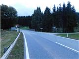
We leave the highway from Klagenfurt am Wörthersee to Graz at the exit Šentlenart in the Lavanttal / Bad St. Leonhard im Lavanttal, and then we follow the signs for Zeltweg and Reichenfels. After the settlement Reichenfels we reach the state border between Austrian Carinthia / Kärnten and Styria / Steiermark, where the described path begins still on the Carinthian side. At the start of the described path there are no designated parking places, but parking is possible in the settlement Reichenfels a few minutes away or higher up along the road.
Route description:
From the main road, we continue on a side road which continues towards the northeast and leads us along the stream Rossbach. We soon go through an underpass under the railway line, and we continue to ascend gently through the valley Roßbachgraben, passing individual houses; at junctions we continue straight ahead or follow the rare blazes. Later, the asphalt road turns into a gravel road, and we continue to ascend quite gently. Although blazes along the way are very sparse, there are no real orientation problems until the confluence of the streams Rossbach and Sattelbach.
At the confluence, where the lower station of the former Hummereben cable car once stood, we turn right; the next blaze can be seen a little further on.
The path ahead leads us along a somewhat poorer road that also becomes slightly steeper. Higher up, we pass a barrier gate; when the road bends right, we continue straight ahead onto a cart track that runs along the stream Sattelbach.
A little further on, when the cart track turns right up the slope, we continue walking along the stream; there is no well-trodden footpath here, and blazes are very rare and already quite faded. A steeper ascent along the stream follows; higher up, a wire fence appears beside the “path” or the stream, and for a while it is possible to follow a poor footpath along it. This footpath also soon disappears, but we continue ascending along the stream; higher up, on the left side, we briefly join a cart track and follow it uphill in roughly the same direction. When the cart track ends, we keep to the same direction along the stream; higher up we reach a wider marked path that leads from the saddle Peterer Sattel towards the mountain hut Weißensteinhütte.
We follow the mentioned path to the right, which without major changes in elevation leads us to a junction on the saddle Peterer Sattel (the saddle can also be reached via a forest road, or higher up a cart track that branches off to the right lower down from our path).
Here we head onto the path towards the peak Peterer Riegel (left Salzstiegel, slightly left Pack, right the cottage Peterer Hütte – the path that bypasses the summit of Peterer Riegel) and begin ascending alongside a wire fence. A somewhat steeper and increasingly panoramic ascent follows, and we stick to this path all the way to the cross on the summit.
Starting point – Hummereben 1:55, Hummereben – Peterer Sattel 1:30, Peterer Sattel – summit 0:35.
The description and photographs reflect conditions in October 2025.

Along the route: Hummereben (1260m), Peterer Sattel (1745m)
Photos:
 1
1 2
2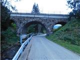 3
3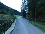 4
4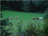 5
5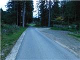 6
6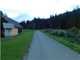 7
7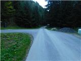 8
8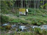 9
9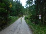 10
10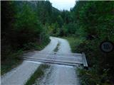 11
11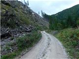 12
12 13
13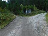 14
14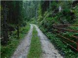 15
15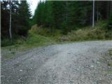 16
16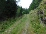 17
17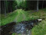 18
18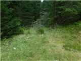 19
19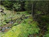 20
20 21
21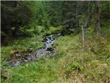 22
22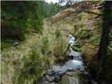 23
23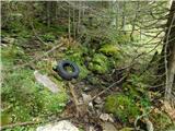 24
24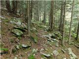 25
25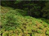 26
26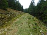 27
27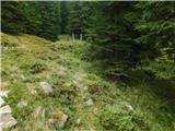 28
28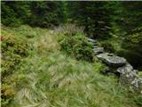 29
29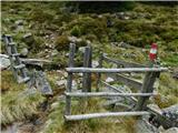 30
30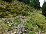 31
31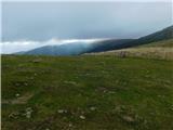 32
32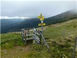 33
33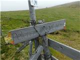 34
34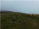 35
35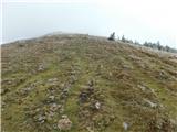 36
36 37
37 38
38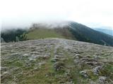 39
39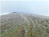 40
40 41
41 42
42 43
43 44
44 45
45 46
46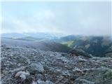 47
47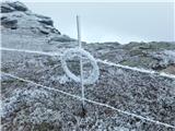 48
48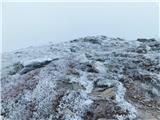 49
49 50
50
Discussion about the trip Reichenfels (Taxwirt) - Peterer Riegel (through Roßbachgraben)
To post a comment you must log in:
If you do not yet have a username, you must first
register.