Starting point: Rein (452 m)
| Latitude/Longitude: | 47,13706°N 15,28756°E |
| |
Walking time: 1 h 30 min
Difficulty: easy marked way
Elevation gain: 282 m
Elevation difference along the route: 355 m
Map: https://www.bergfex.at
Recommended equipment (summer):
Recommended equipment (winter):
Views: 128
 | 1 person like this post |
Access to starting point:
From the Maribor - Graz - Salzburg highway (A9) take the exit Gratkorn-Nord (the second exit before the Plabutschtunnel). Turn right in the direction of Rein.
We drive through three roundabouts. At the first choose the 1st exit, at the second the 2nd exit, and at the third the 1st exit towards the settlement Rein.
There follow two more junctions, where at the 1st we turn right, and at the 2nd left.
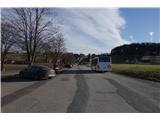
After 2.5 km we arrive in the village Rein, where we park in the large parking lot intended for visitors to the monastery.
Route description:
At the end of the parking lot, where there stands a sign for the direction Plesch and Kehr, we head towards the smaller bridge, cross it, and immediately behind the bridge continue right along the sidewalk.
At first we ascend a little, but soon afterwards we descend to a crossroads, where we turn left. Immediately after that we turn right onto a macadam path.
This is where the marked path to Pfaffenkogel begins.
We continue along the macadam path past the chapel, over a small bridge and then rejoin the asphalt road.
Next comes a turn to the right, immediately followed by a turn to the left. We continue on the road upwards.
The road leads us to Enzenbach hospital, where parking spaces are available.
At the hospital we continue along the road in the direction of Pfaffenkogel for approximately 100 m. Then we leave the road and continue right on a well-trodden footpath steeply upwards.
This is a shortcut, as the marked path follows the road a little farther around.
Along the steep forest path we quickly gain altitude. In doing so we cross a poorer forest road three times before finally rejoining the marked path.
The varied wide path brings us to a junction, where we continue straight ahead past the hunting observatory steeply upwards (we could also go left along the road around).
On the other side we descend a little, but soon tackle the steep slope again, which briefly brings us back onto the road. Next comes a fork, where we turn left and immediately afterwards the trail marker directs us right onto a footpath that leads us straight to the summit of Pfaffenkogel.

Photos:
 1
1 2
2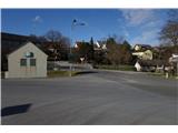 3
3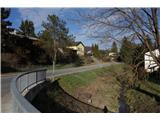 4
4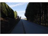 5
5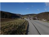 6
6 7
7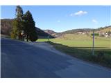 8
8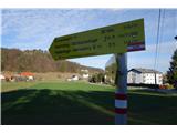 9
9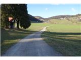 10
10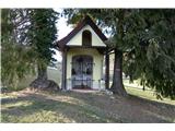 11
11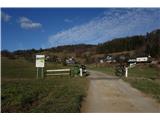 12
12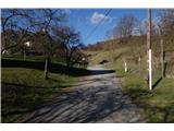 13
13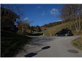 14
14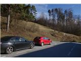 15
15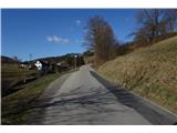 16
16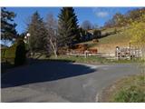 17
17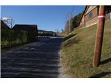 18
18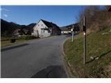 19
19 20
20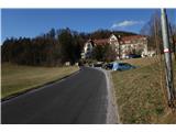 21
21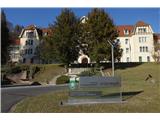 22
22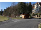 23
23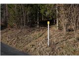 24
24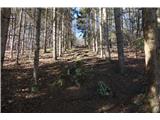 25
25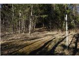 26
26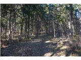 27
27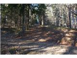 28
28 29
29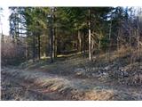 30
30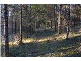 31
31 32
32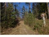 33
33 34
34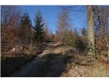 35
35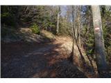 36
36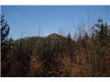 37
37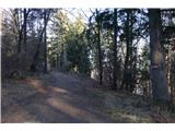 38
38 39
39 40
40 41
41 42
42 43
43 44
44 45
45 46
46 47
47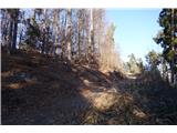 48
48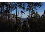 49
49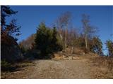 50
50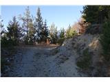 51
51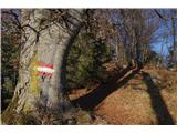 52
52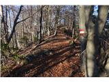 53
53 54
54 55
55 56
56 57
57 58
58
Discussion about the trip Rein - Pfaffenkogel
To post a comment you must log in:
If you do not yet have a username, you must first
register.