Retjiški gozd - Koča na Kamnem griču
Starting point: Retjiški gozd (854 m)
| Latitude/Longitude: | 45,72510°N 14,60520°E |
| |
Walking time: 25 min
Difficulty: easy marked way
Elevation gain: 162 m
Elevation difference along the route: 162 m
Map:
Recommended equipment (summer):
Recommended equipment (winter):
Views: 1.630
 | 1 person like this post |
Access to starting point:
From Sodražica we drive towards the settlement Hrib-Loški Potok or vice versa, and when by the road we notice signs for Koča na Kamnem griču (road sign), we turn onto the left or right road. We park at an appropriate place by the crossroad (starting point is located near the road sign 7.5 km).
Route description:
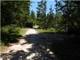
If we've parked on the opposite side of the road from where the macadam road leads towards Koča na Kamnem griču, then we first carefully cross the main road; otherwise, from the crossroad we first slightly descend. When the road stops descending it passes into a quite dense forest and starts ascending. Higher, the road leads us past a memorial, a sign and a smaller cottage, and after a further shorter ascent we arrive at a marked junction, where we continue left in the direction of Koča na Kamnem griču (straight Koča na Travni Gori, Nova Štifta... right Hrib-Loški Potok...).
The worse road further leads through an increasingly sparse forest, higher across a quite panoramic grassy slope. The hut, which in the last part we already see in front of us, we reach in good 5 minutes of ascent from the junction with numerous mountain signs.
Description and pictures refer to the condition in the year 2015 (August).
Photos:
 1
1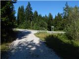 2
2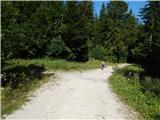 3
3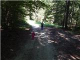 4
4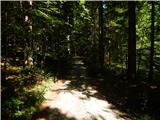 5
5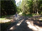 6
6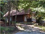 7
7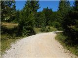 8
8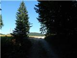 9
9 10
10 11
11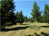 12
12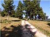 13
13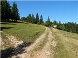 14
14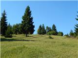 15
15 16
16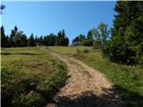 17
17 18
18
Discussion about the trip Retjiški gozd - Koča na Kamnem griču
To post a comment you must log in:
If you do not yet have a username, you must first
register.