Rifugio Ra Stua - Col de Lasta
Starting point: Rifugio Ra Stua (1668 m)
| Latitude/Longitude: | 46,62501°N 12,09918°E |
| |
Walking time: 2 h
Difficulty: easy pathless terrain
Elevation gain: 643 m
Elevation difference along the route: 655 m
Map: Tabacco 03 1:25.000
Recommended equipment (summer):
Recommended equipment (winter): ice axe, crampons
Views: 1.327
 | 2 people like this post |
Access to starting point:
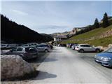
Via the border crossing Rateče, we drive to Trbiž / Tarvisio, where we head onto the highway in the direction of Videm / Udine. We leave the highway at the Tolmezzo exit and follow the road to the mentioned settlement. From Tolmezzo, we continue in the direction of the settlement Ampezzo and the mountain pass Passo della Mauria. The road then starts descending and brings us into the Cadore valley, where we continue right (left Belluno and Cortina d'Ampezzo) in the direction of the settlement Auronzo. After a few additional km of driving, we come to the next bigger intersection, where we turn right in the direction of the settlement Misurina (left pass Tre Croci). From here we descend the road to a bigger intersection where we continue left towards Cortina d'Ampezzo (right Austria). From the mentioned intersection, we continue approximately 10 km towards Cortina d'Ampezzo, then in a sharp left turn we turn right onto the road towards the mountain hut Rifugio Ra Stua. We follow the narrow asphalt road all the way to the larger parking lot at the mountain hut.
Route description:
From the mountain hut Rifugio Ra Stua we continue on a macadam road which is closed to traffic. Already at the very beginning, a footpath branches off to the right towards the notch Forcella Lerosa and Gotres valley. A little later, the path towards Valbones valley and bivouac Helbig Dall'Oglio also branches off to the right.
We continue on the gently sloping macadam road, which for some time runs along pastures, then brings us into the forest. Further on, we walk through the forest along the Boite stream for some time, then reach grassy slopes again where there is also an intersection.
To the left, the road to mountain hut Rifugio Fodara Vedla branches off, while we continue straight on the macadam road towards mountain hut Rifugio Sennes. Already after a few dozen meters, we reach another junction. This time, a footpath branches off to the right towards Lago di Foses lake and mountain hut Rifugio Biella (Seekofelhütte).
We continue on the road this time as well, which runs through Val Salata valley and begins to ascend somewhat more steeply. Later the road turns slightly left, while straight ahead a footpath branches off, which later rejoins the road. Higher up, the trees become sparser and from the road we increasingly get beautiful views of the nearby peaks, where Croda Rossa stands out especially. Later the road crosses a barrier and brings us from the Dolomiti d'Ampezzo nature park into the Fanes Sennes Braies nature park.
To the left, the road to mountain hut Rifugio Pederü soon branches off, while we continue straight on the macadam road towards mountain hut Rifugio Sennes. After a short ascent, the road brings us to another intersection. This time, the road to mountain hut Rifugio Biella branches off to the right, while we continue straight again. The road then becomes flatter and soon brings us to Rifugio Sennes hut along the grassy slopes.
From the hut, we continue on a footpath towards Munt de Sennes hut. The path leads us below the slopes of Col de Lasta peak. When we reach the northeastern side of the peak, we leave the marked path to Munt de Sennes hut and head left into pathless terrain.
The northeastern slopes of the mountain are not overly steep, so finding passages is not particularly difficult. Cairns and the cross on the mountain top also help with orientation.

Photos:
 1
1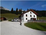 2
2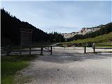 3
3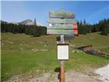 4
4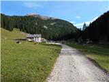 5
5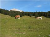 6
6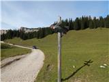 7
7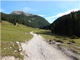 8
8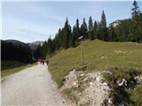 9
9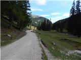 10
10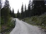 11
11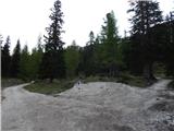 12
12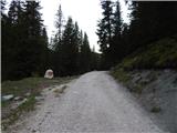 13
13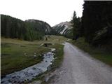 14
14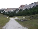 15
15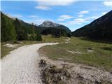 16
16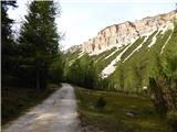 17
17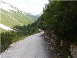 18
18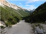 19
19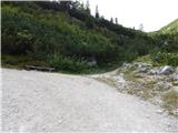 20
20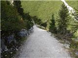 21
21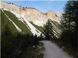 22
22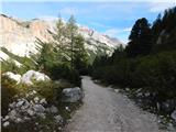 23
23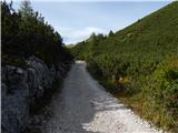 24
24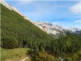 25
25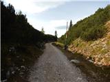 26
26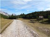 27
27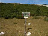 28
28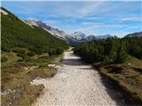 29
29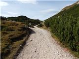 30
30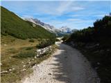 31
31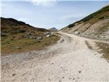 32
32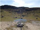 33
33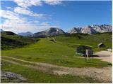 34
34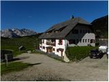 35
35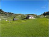 36
36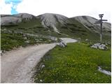 37
37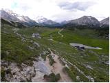 38
38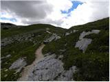 39
39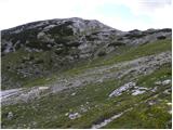 40
40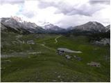 41
41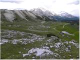 42
42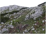 43
43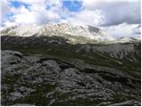 44
44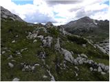 45
45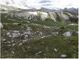 46
46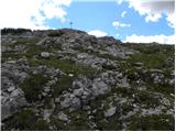 47
47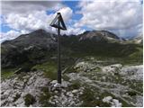 48
48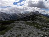 49
49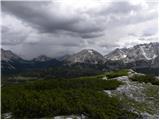 50
50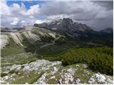 51
51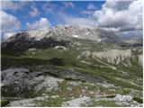 52
52
Discussion about the trip Rifugio Ra Stua - Col de Lasta
To post a comment you must log in:
If you do not yet have a username, you must first
register.