Rifugio Rio Gere - Sella di Punta Nera
Starting point: Rifugio Rio Gere (1698 m)
| Latitude/Longitude: | 46,55117°N 12,19030°E |
| |
Walking time: 3 h 45 min
Difficulty: difficult marked way
Elevation gain: 1040 m
Elevation difference along the route: 1100 m
Map: Tabacco 03 1:25.000
Recommended equipment (summer): helmet
Recommended equipment (winter): helmet, ice axe, crampons
Views: 2.343
 | 2 people like this post |
Access to starting point:
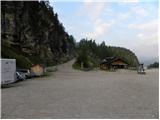
From Rateče or Predel we cross the border to Trbiž / Tarvisio and then on the highway in the direction of Videm / Udine to exit Tolmezzo. From Tolmezzo we follow the road in the direction of village Ampezzo and mountain pass Passo della Mauria. The road then descends and brings us to a crossroad, where we continue right towards Auronzo. Further, we follow the signs for mountain pass Tre Croci. From the mountain pass, we continue for approximately 1.5 km in the direction towards Cortina d'Ampezzo, and then we park on a parking lot at the mountain hut Rifugio Rio Gere, which is situated on the left side of the road. The parking lot is large and is situated by the ski slope Faloria - Monte Cristallo.
Route description:
From the large parking lot at the mountain hut Rifugio Rio Gere we head south on the macadam road following the signs »Faloria«. The road, closed to traffic, runs along the ski slope and soon after the initial ascent crosses a barrier. Later in the left bend we leave the road and continue right on a footpath. The level path then leads us through the forest and later begins to ascend in long zigzags.
Higher up we rejoin the road, which ascends steeply a few times and brings us to the lower station of the cable car that leads to the mountain hut Rifugio Tondi. We continue along the road, which runs across the ski slope all the way to the mountain hut Rifugio Faloria, from which there is a nice view mainly towards the Cristallo mountain group and towards Cortina d'Ampezzo.
At the hut we continue left following the signs for Rifugio Tondi along the road, which continues uphill across the ski slope. The path then turns slightly right, bringing us near a transmitter where a path branches off to the right towards the mountain hut Fraina.
Further on, a nice view also begins to open towards the summit of Punta Nera, followed by a short ascent to the Tondi hut, which we have been able to see from the path for some time.
From the hut we continue east, first ascending slightly past the summit of Monte Ciasadio, where the upper cable car station is located. The path then descends slightly along the left side of the ridge towards the Forcella Faloria notch. Here the path is slightly exposed, but the descent presents no particular difficulties.
At the notch, where there is a junction, we continue right following the signs »Sella Punta Nera«; to the left a path leads to Lago di Sorapiss lake.
From the junction the ascending path crosses fairly steep scree slopes below the summit La Selletta. As the path is somewhat less trodden and has quite a bit of loose stone, some caution is needed at certain points. When we reach the vicinity of the saddle between the summits Punta Nera and Croda Rotta, the path turns left and then ascends to the Sella Punta Nera saddle with the aid of a few steel cables. From the saddle we can continue a further 10 meters or so to the left along an unmarked trail to the summit, from which there is a very fine view of the surrounding peaks.

Photos:
 1
1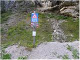 2
2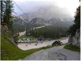 3
3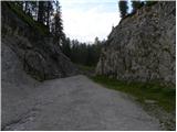 4
4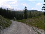 5
5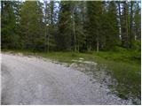 6
6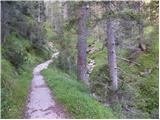 7
7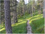 8
8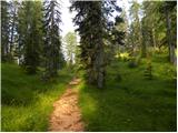 9
9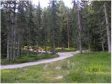 10
10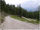 11
11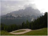 12
12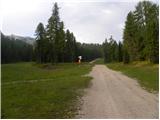 13
13 14
14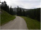 15
15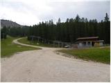 16
16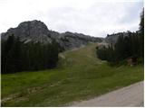 17
17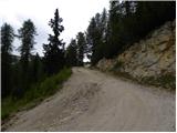 18
18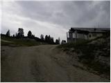 19
19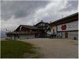 20
20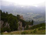 21
21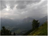 22
22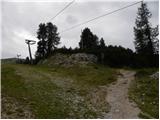 23
23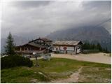 24
24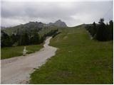 25
25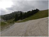 26
26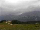 27
27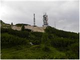 28
28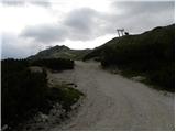 29
29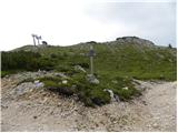 30
30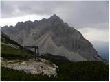 31
31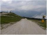 32
32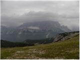 33
33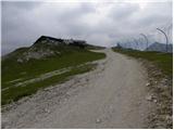 34
34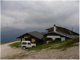 35
35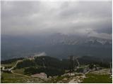 36
36 37
37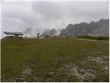 38
38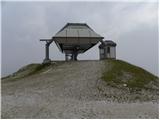 39
39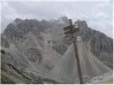 40
40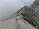 41
41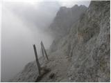 42
42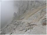 43
43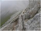 44
44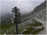 45
45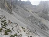 46
46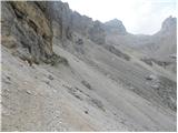 47
47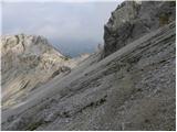 48
48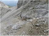 49
49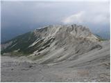 50
50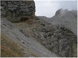 51
51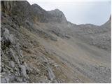 52
52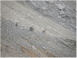 53
53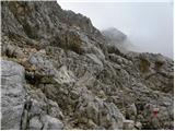 54
54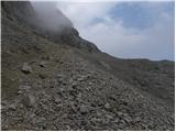 55
55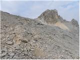 56
56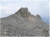 57
57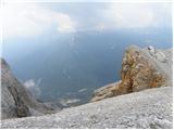 58
58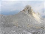 59
59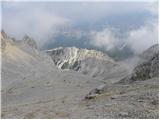 60
60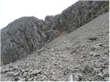 61
61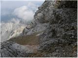 62
62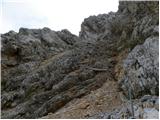 63
63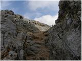 64
64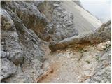 65
65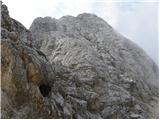 66
66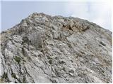 67
67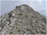 68
68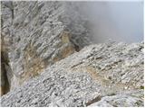 69
69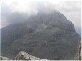 70
70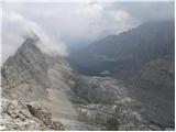 71
71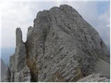 72
72
Discussion about the trip Rifugio Rio Gere - Sella di Punta Nera
To post a comment you must log in:
If you do not yet have a username, you must first
register.