Robanov kot - Veliki vrh (Veža)
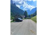
Starting point: Robanov kot (650 m)
| Latitude/Longitude: | 46,39480°N 14,70300°E |
| |
Walking time: 4 h 30 min
Difficulty: very difficult marked way
Elevation gain: 1460 m
Elevation difference along the route: 1515 m
Map:
Recommended equipment (summer): helmet
Recommended equipment (winter): helmet, ice axe, crampons
Views: 14
 | 1 person like this post |
Access to starting point:
Route description:
Along the route: Robanova planšarija (896m), Pri slapu (1049m), Sedelce (1790m), Razpotje na Molički planini (1751m), Prag (1870m), Odcep za Veliki vrh (1891m)
Photos:
 1
1 2
2 3
3 4
4 5
5 6
6 7
7 8
8 9
9 10
10 11
11 12
12 13
13 14
14 15
15 16
16 17
17 18
18 19
19 20
20 21
21 22
22 23
23 24
24 25
25 26
26 27
27 28
28 29
29 30
30 31
31 32
32 33
33 34
34 35
35 36
36 37
37 38
38 39
39 40
40 41
41 42
42 43
43 44
44 45
45 46
46 47
47 48
48 49
49 50
50 51
51 52
52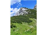 53
53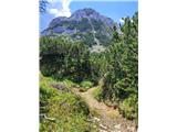 54
54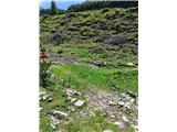 55
55
Discussion about the trip Robanov kot - Veliki vrh (Veža)
To post a comment you must log in:
If you do not yet have a username, you must first
register.