Rogaška Slatina - Sveta Trojica (Prnek)
Starting point: Rogaška Slatina (225 m)
| Latitude/Longitude: | 46,23110°N 15,63840°E |
| |
Walking time: 30 min
Difficulty: easy marked way
Elevation gain: 92 m
Elevation difference along the route: 125 m
Map:
Recommended equipment (summer):
Recommended equipment (winter):
Views: 67
 | 1 person like this post |
Access to starting point:
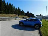
We drive to Rogaška Slatina and then park in the parking lot by the railway station.
We can also reach the starting point by train.
Route description:
At the starting point there are red mountain direction signs; we follow the markings for Sveta Ema, where we first carefully cross the main road, then continue in the same direction and proceed along the footpath that leads us past a mighty tree and along the left side of older buildings. Behind the houses we reach the next road, cross it, and continue westwards; soon the marked path forks.
We continue left (straight to Mestinje) and begin to ascend more steeply; at the nearby intersection we go right and ascend even more steeply. This is followed by an ascent via the right serpentine; higher up we go left, and a little higher, in front of the nearby house, we arrive at an interesting chapel. Behind the chapel we leave the forest; the path leads us past a few houses and then we ascend with beautiful views to the logbook box for Prnek.
We bypass the transmitters on the left side and continue the ascent along a less visible trail that takes us across a grassy slope; a little further on, we bypass some houses on the right side, and behind them we reach another road.
There follow a few minor intersections where we keep slightly to the left; we then descend in a few minutes to the church of the Holy Trinity.
Starting point - Aškerčeva junction 0:05, Aškerčeva junction - Prnek 0:15, Prnek - Holy Trinity 0:10.
Description and photos refer to the condition in March 2026.

Photos:
 1
1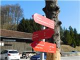 2
2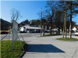 3
3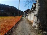 4
4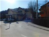 5
5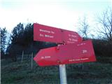 6
6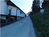 7
7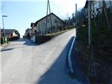 8
8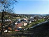 9
9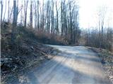 10
10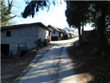 11
11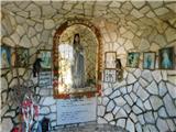 12
12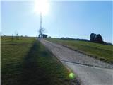 13
13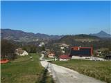 14
14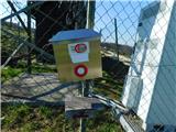 15
15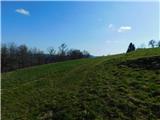 16
16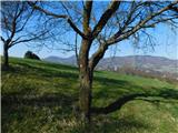 17
17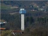 18
18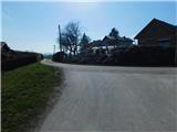 19
19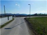 20
20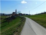 21
21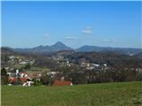 22
22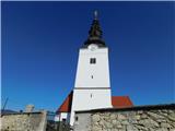 23
23
Discussion about the trip Rogaška Slatina - Sveta Trojica (Prnek)
To post a comment you must log in:
If you do not yet have a username, you must first
register.