Podrožca / Rosenbach - Rosenkogel/Hruški vrh (via Koprivnjak)
Starting point: Podrožca / Rosenbach (630 m)
| Latitude/Longitude: | 46,52200°N 14,02900°E |
| |
Route name: via Koprivnjak
Walking time: 4 h
Difficulty: easy marked way
Elevation gain: 1146 m
Elevation difference along the route: 1200 m
Map: Karavanke - osrednji del 1:50.000
Recommended equipment (summer):
Recommended equipment (winter): ice axe, crampons
Views: 463
 | 1 person like this post |
Access to starting point:
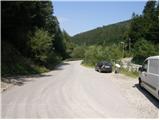
Through the Karawanks Tunnel, we drive to Austria, and then we drive on the highway towards Beljak, which we leave at the first exit. From the point where we left the highway, we follow the signs for the settlement Šentjakob v Rožu / Sankt Jakob im Rosental. When we arrive in the mentioned settlement, we leave the main road and continue driving right in the direction of the settlement Podrožca / Rosenbach. After a few kilometers of additional driving, we arrive near the railway station in Podrožca, where we continue left downhill, then at the next intersection right in the direction of the valley Medji Dol / Bärental. Further on, we drive on a somewhat narrower asphalt road, which we follow to the first intersection, where we notice the hiking signposts. We park in a suitable place by the road.
From the toll station at Hrušica to the starting point, it is approximately 23 km.
Route description:
From the starting point, we head onto the left road following the signs for Rožca / Rosenbachsattel (straight ahead Kepa / Mittagskogel). The road first crosses a bridge over the stream Gračenica / Schönbrunnen, then it starts first gently, later moderately ascending through the forest. Further on, we ascend for quite some time on the forest road, then we arrive at a marked intersection at an elevation of 900 meters.
Here, a road branches off to the left towards Golica / Kahlkogel, while we continue slightly right in the direction of Rožca. From the junction onward, the road temporarily descends to the nearby stream, which it then also crosses. On the other side of the stream, we start ascending again, and the marked path splits into two parts. We can continue further on the road or left onto the marked footpath, which starts to ascend more steeply and continues through the forest. Higher up, the path returns to the road and leaves it again at the sharp right bend. We continue through the forest on an occasionally steeper and, in the upper part, more overgrown slope. Higher up, we join a cart track and follow it to the left. From the cart track, a path soon branches off to the left towards Rožca, while we continue straight and follow the cart track almost to its end. At the end of the cart track stands a small wooden hut, but a few meters before it we turn right onto the again steeper footpath. The path soon approaches the nearby forest road very closely, but we continue on the marked path, which turns slightly to the right. Higher up, the path levels out and crosses a pasture fence, behind which we quickly step onto the already several times mentioned road. We reach the road at the memorial plaque, cross it, and continue the ascent on a poorly visible little path that ascends across the pasture to the nearby hut.
Above the hut, the marked path turns right and ascends diagonally through a belt of forest. When we step out of the forest, the path starts to disappear. We continue the ascent across the grassy slope, over which we start to ascend more steeply amid sparser markings. The mostly grassy slope levels out higher up, and the path becomes somewhat easier to follow. The path further leads past a watering place for animals, after which we gradually reach the ridge, along which we then ascend to the panoramic summit in a few minutes.
From Koprivnjak, we continue towards the southwest, first along the path that continues along the ridge, then gradually veering slightly left from the ridge, where we cross first gentle, then somewhat steeper slopes. In the final part of the traverse, the path from the pastures transitions to slightly vegetated slopes, along which we continue to the point where we reach the state border.
When we reach the border ridge, we continue left (right: mountain pasture Dovška Rožca and Dovška Baba), and the path we follow immediately splits.
We continue further along the border ridge (the right path bypasses Hruški vrh), with the path gradually starting to ascend moderately. After approximately 10 minutes of moderate ascent, amid ever finer views reaching far in all directions, we reach the chapel of St. Izidor on Hruški vrh.
Podrožca - Koprivnjak 3:30, Koprivnjak - Hruški vrh 30 minutes.

Photos:
 1
1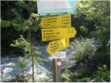 2
2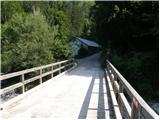 3
3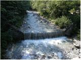 4
4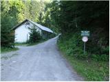 5
5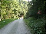 6
6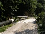 7
7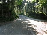 8
8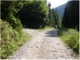 9
9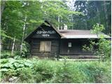 10
10 11
11 12
12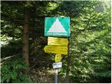 13
13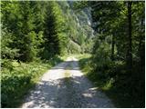 14
14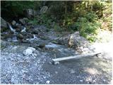 15
15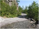 16
16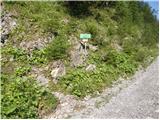 17
17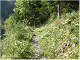 18
18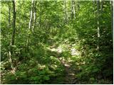 19
19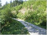 20
20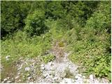 21
21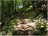 22
22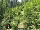 23
23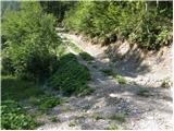 24
24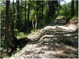 25
25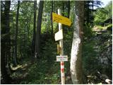 26
26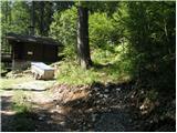 27
27 28
28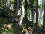 29
29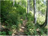 30
30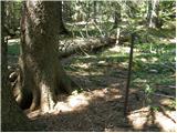 31
31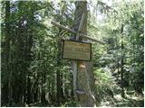 32
32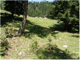 33
33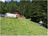 34
34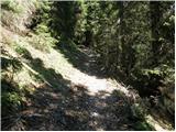 35
35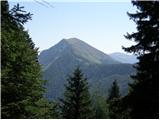 36
36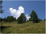 37
37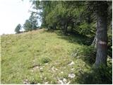 38
38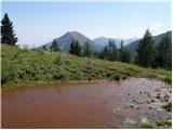 39
39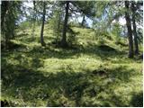 40
40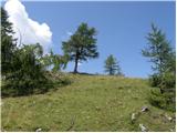 41
41 42
42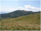 43
43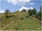 44
44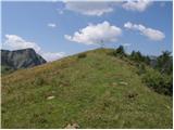 45
45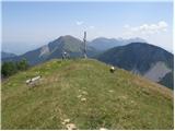 46
46 47
47 48
48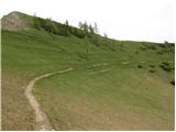 49
49 50
50 51
51 52
52 53
53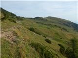 54
54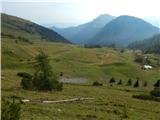 55
55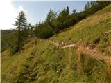 56
56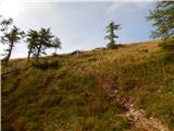 57
57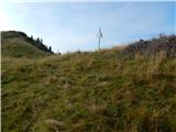 58
58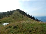 59
59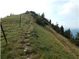 60
60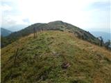 61
61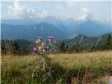 62
62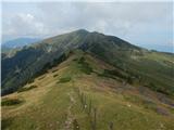 63
63 64
64 65
65
Discussion about the trip Podrožca / Rosenbach - Rosenkogel/Hruški vrh (via Koprivnjak)
To post a comment you must log in:
If you do not yet have a username, you must first
register.