Roška cesta - Ljubljana Castle
Starting point: Roška cesta (299 m)
| Latitude/Longitude: | 46,04470°N 14,51700°E |
| |
Walking time: 15 min
Difficulty: easy marked way
Elevation gain: 77 m
Elevation difference along the route: 77 m
Map: Ljubljana - okolica 1:50.000
Recommended equipment (summer):
Recommended equipment (winter):
Views: 5.064
 | 2 people like this post |
Access to starting point:
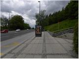
With the LPP city bus No. 11 we go to Roška cesta, where we get off at the bus stop at the intersection with Streliška ulica.
Route description:
At the intersection of Roška cesta and Streliška ulica we notice red hiking signposts, which direct us to concrete stairs, up which we climb one level higher. At the top of the stairs we continue left into the forest and in one minute of additional walking we reach a wider cart track. We follow the path to the right, then only a few steps before we step onto the nearby asphalt road we continue left. For a few more minutes we ascend through the forest, then the path flattens and brings us to the former fortress Šance, from which only a short walk separates us from the Ljubljanski grad.
Along the route: Šance (360m)
Photos:
 1
1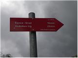 2
2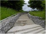 3
3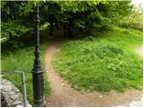 4
4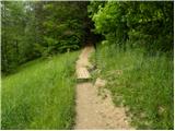 5
5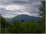 6
6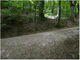 7
7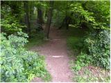 8
8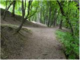 9
9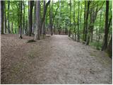 10
10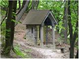 11
11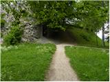 12
12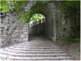 13
13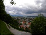 14
14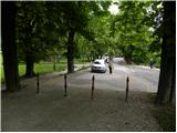 15
15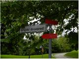 16
16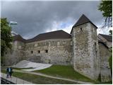 17
17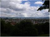 18
18
Discussion about the trip Roška cesta - Ljubljana Castle
To post a comment you must log in:
If you do not yet have a username, you must first
register.