Starting point: Rude (284 m)
Walking time: 1 h 15 min
Difficulty: easy marked way
Elevation gain: 468 m
Elevation difference along the route: 480 m
Map:
Recommended equipment (summer):
Recommended equipment (winter): crampons
Views: 2.500
 | 1 person like this post |
Access to starting point:
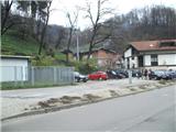
a) We arrive in Croatia via the MP Obrežje border crossing, then drive to Samobor, from where we follow the signs to the town center. From the town center, we continue in the direction of "Jasterbarsko-Rude". From the town of Samobor to the village of Rude is approximately a 5-minute drive. We park in the village of Rude at the parking lot next to the handball hall.
b) From Styria, we first drive to Ptuj, then continue driving towards MP Gruškovje and further on the motorway towards Zagreb. At the motorway junction west of Zagreb, we continue in the direction of Ljubljana, but we follow the motorway to the exit for Samobor, from where we follow the signs to the town center. From the town center, we continue in the direction of "Jasterbarsko-Rude". From the town of Samobor to the village of Rude is approximately a 5-minute drive. We park in the village of Rude at the parking lot next to the handball hall.
Route description:
From the parking lot, we turn north, where we will notice the start of the path. The path immediately splits into two parts, but we continue left towards the summit of Oštrc (right path through Veliki dol). The path, which continues along a steep road, continues for a short time through the village (intersections are well marked), then levels out and turns slightly right into a low forest. A little further on, we cross another asphalt road, then continue along a cart track, which is quite muddy especially after rain. We walk along the cart track for only about a minute, then the markers direct us left onto a path that higher up continues along the fence of nearby houses. Higher up, we reach a gentle asphalt road, which we follow to its end, from where we continue along the marked path into the forest. Further on, the path is somewhat more rocky in places, then it joins a cart track, along which we first ascend steeply, then descend and ascend again. After some time, we leave the cart track as the signs lead us left onto a path that levels out. The path further leads us across a few small gentle clearings, then brings us to a small junction, where a gentle marked path continues straight ahead, and to the right a somewhat shorter shortcut branches off. Higher up, both paths merge back into one, which continues through the forest. When we reach a left bend, Hoffmannova pot joins us from the right, which goes around Veliki dol.
From here it is still a good minute's walk to Dom Željezničar.
In front of the hut, a steep path from Braslovje also joins us from the left.
From the hut, we go slightly west and then up to the nearby summit. The last part of the path is steeper but not particularly demanding.
From the summit, we can continue south, where we quickly reach a cross and a viewpoint.

Photos:
 1
1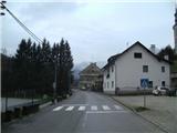 2
2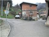 3
3 4
4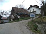 5
5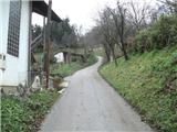 6
6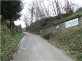 7
7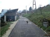 8
8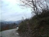 9
9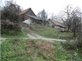 10
10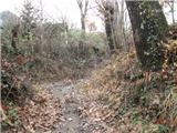 11
11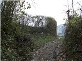 12
12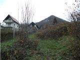 13
13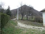 14
14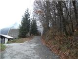 15
15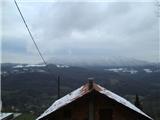 16
16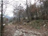 17
17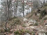 18
18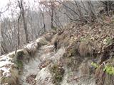 19
19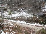 20
20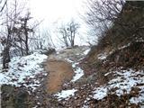 21
21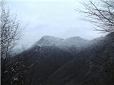 22
22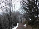 23
23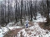 24
24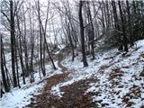 25
25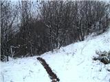 26
26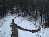 27
27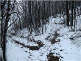 28
28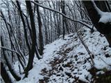 29
29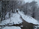 30
30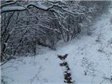 31
31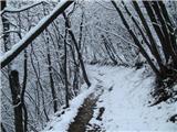 32
32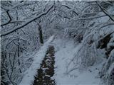 33
33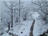 34
34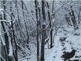 35
35 36
36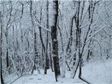 37
37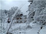 38
38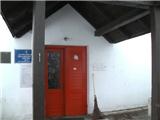 39
39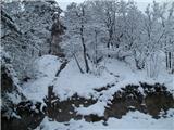 40
40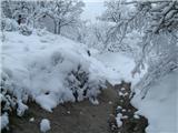 41
41 42
42 43
43 44
44
Discussion about the trip Rude - Oštrc
To post a comment you must log in:
If you do not yet have a username, you must first
register.