Rude - Oštrc (Hoffmannova pot)
Starting point: Rude (284 m)
Route name: Hoffmannova pot
Walking time: 1 h 30 min
Difficulty: easy marked way
Elevation gain: 468 m
Elevation difference along the route: 468 m
Map:
Recommended equipment (summer):
Recommended equipment (winter):
Views: 3.125
 | 2 people like this post |
Access to starting point:
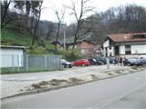
a) We arrive in Croatia via the MP Obrežje border crossing, then drive to Samobor, from where we follow signs to the town center. From the town center, we continue in the direction of "Jasterbarsko-Rude". From the town of Samobor to the village of Rude it is approximately 5 minutes' drive. We park in the village of Rude at the parking lot next to the handball hall.
b) From Styria we first drive to Ptuj, then continue driving towards the MP Gruškovje border crossing and further along the motorway towards Zagreb. At the motorway junction west of Zagreb we continue in the direction of Ljubljana, but we follow the motorway to the Samobor exit, from where we follow signs to the town center. From the town center, we continue in the direction of "Strojarsko-Rude". From the town of Samobor to the village of Rude it is approximately 5 minutes' drive. We park in the village of Rude at the parking lot next to the handball hall.
Route description:
From the parking lot we turn north, where we will notice the start of the path. The path immediately splits into two parts, and we continue right towards Veliki dol (left is the direct path to Oštrc). The path initially runs through the village of Rude, then begins to ascend towards the "last" houses in the village (during the ascent through the village the path leads past a spring). A bit further the asphalt road turns sharply right, but we continue straight on the gravel road, which leads past some farms. Behind the last houses the road enters the forest and turns into a cart track. A little further the cart track turns right, but we continue straight on the marked path, which descends to the nearby junction.
Here a path branches off to the right leading to the summit of Črnec, but we continue left towards the west on a somewhat steeper path. Further on the path brings us to the Veliki dol meadow, above which we return to the forest. We walk through the forest for only about a minute, then we arrive at the Veliki dol mountain hut, where we can refresh ourselves.
From the hut we continue on a nicely arranged trail that continues westwards, which brings us to a wider cart track. We continue in the direction of "Šoićeva kuća" (Former mountain hut, now a well-known inn) and soon arrive at a junction where the cart track begins to descend, but we continue slightly left on an increasingly steeper path. The path further ascends through the forest, higher up partly on grassy slopes. When we reach a barely noticeable ridge a bit further, we join the "direct" path from the village of Rude.
From here it is just a good minute's walk to Dom Željezničar.
In front of the hut a steep path from Braslovje joins from the left.
From the hut we go slightly west and then upwards to the nearby summit. The last part of the path is steeper but not particularly demanding.
From the summit we can continue south, where we quickly reach the cross and viewpoint.

Photos:
 1
1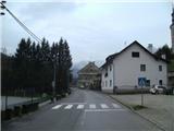 2
2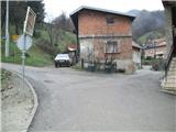 3
3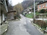 4
4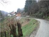 5
5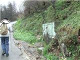 6
6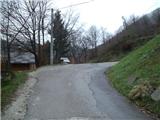 7
7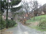 8
8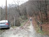 9
9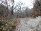 10
10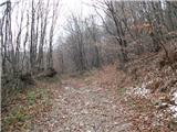 11
11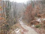 12
12 13
13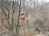 14
14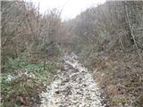 15
15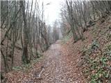 16
16 17
17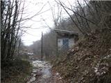 18
18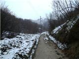 19
19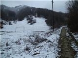 20
20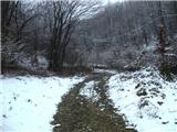 21
21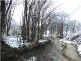 22
22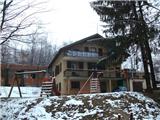 23
23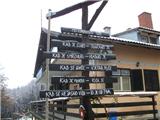 24
24 25
25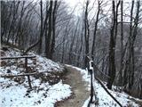 26
26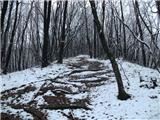 27
27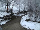 28
28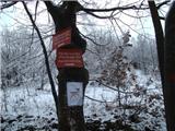 29
29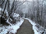 30
30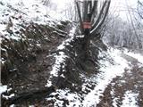 31
31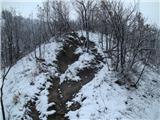 32
32 33
33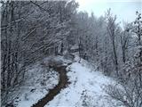 34
34 35
35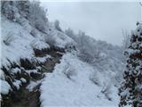 36
36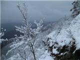 37
37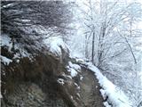 38
38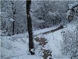 39
39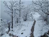 40
40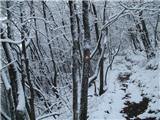 41
41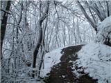 42
42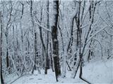 43
43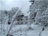 44
44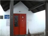 45
45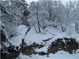 46
46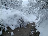 47
47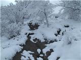 48
48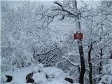 49
49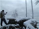 50
50
Discussion about the trip Rude - Oštrc (Hoffmannova pot)
|
| Bajs Damir26. 01. 2016 |
There is also a very popular other approach to Oštrc. It starts from the place Prekrižje and leads over the summit Rancerje. Ascent takes 1 hour and is the easiest approach to Oštrc.
|
|
|
To post a comment you must log in:
If you do not yet have a username, you must first
register.