Rude - Oštrc (steep path through Braslovje)
Starting point: Rude (284 m)
Route name: steep path through Braslovje
Walking time: 1 h 10 min
Difficulty: easy marked way
Elevation gain: 468 m
Elevation difference along the route: 468 m
Map:
Recommended equipment (summer):
Recommended equipment (winter): crampons
Views: 1.916
 | 2 people like this post |
Access to starting point:
a) We arrive in Croatia via the Obrežje border crossing, then drive to Samobor, from where we follow the signs to the town center. From the town center, we continue in the direction of "Jasterbarsko-Rude". From Samobor to the village of Rude it is approximately 5 minutes' drive. We park in the village of Rude at the parking lot next to the handball hall.
b) From Styria, we first drive to Ptuj, then continue driving towards the Gruškovje border crossing and further on the motorway towards Zagreb. At the motorway junction west of Zagreb, we continue in the direction of Ljubljana, but we follow the motorway to the Samobor exit, from where we follow the signs to the town center. From the town center, we continue in the direction of "Jasterbarsko-Rude". From Samobor to the village of Rude it is approximately 5 minutes' drive. We park in the village of Rude at the parking lot next to the handball hall.
Route description:
From the parking lot in the center of Rude settlement, we go ahead towards Jastrebarsko (south) through the village. We walk along the asphalt road for about ten minutes, until we reach a right turnoff marked Vinski potok - Nerze. Here we turn right onto the parallel road and at the sharp bend continue uphill on asphalt. We pass a few houses and soon leave the place Rude. Now our path begins to climb steeply on asphalt towards the village Braslovje.
In Braslovje the path levels out. At the first junction we go straight, at the second slightly right uphill. Behind the last farm (loud dog here) we finally enter the forest.
In the forest our path will start climbing steeply. When we reach the stone spring, there is an unofficial very steep shortcut to the right, but we go left and reach a wider cart track. This takes us out of the forest to a junction where we briefly step onto asphalt and quickly go right back into the forest.
Now we walk along the cart track, which remains level for a while, but the forest through which we ascend thins out in places and offers views to the east. On this section there are "dirty-red" power lines leading to the hut. When the cart track starts to climb more steeply through the forest in a left bend, we leave it and go right onto the slope.
Here we begin to climb steeply along a path that gradually turns into a cart track. Higher up, where the slope gets even steeper, we start ascending in switchbacks.
After one switchback, the path turns right eastwards into thinned forest. Here the ground becomes very gravelly again and somewhat slippery. Such a path brings us to the ridge, where we can finally rest a bit on the level section.
The path along the ridge is level only until the forest entrance, then it starts climbing steeply again through the forest until we reach a junction where we join the Hoffmann path. We are a minute away from the Željezničar hut, which we bypass. A steep and due to the ground (gravel) very slippery path awaits us to the top of Oštrc. It takes about five minutes to the summit. During the ascent, there are several nice views to the north all the way to Pohorje. The summit is in the forest without views, but a minute further there is a cross with views to the south.

Photos:
 1
1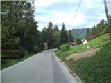 2
2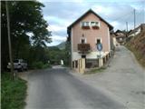 3
3 4
4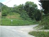 5
5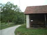 6
6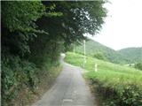 7
7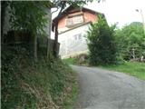 8
8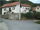 9
9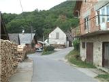 10
10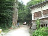 11
11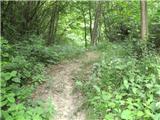 12
12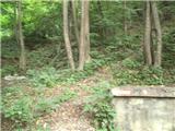 13
13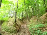 14
14 15
15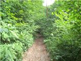 16
16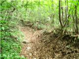 17
17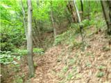 18
18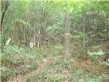 19
19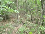 20
20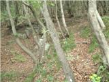 21
21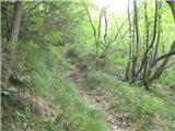 22
22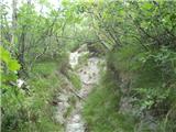 23
23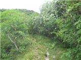 24
24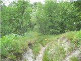 25
25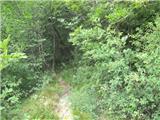 26
26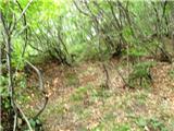 27
27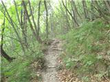 28
28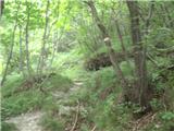 29
29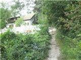 30
30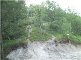 31
31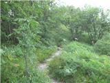 32
32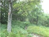 33
33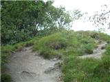 34
34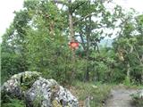 35
35
Discussion about the trip Rude - Oštrc (steep path through Braslovje)
To post a comment you must log in:
If you do not yet have a username, you must first
register.