Rudenska grapa - Gladki vrh (Ratitovec)
Starting point: Rudenska grapa (750 m)
| Latitude/Longitude: | 46,25260°N 14,14540°E |
| |
Walking time: 4 h
Difficulty: easy marked way
Elevation gain: 917 m
Elevation difference along the route: 1100 m
Map: Škofjeloško in Cerkljansko hribovje 1:50.000
Recommended equipment (summer):
Recommended equipment (winter): ice axe, crampons
Views: 2.669
 | 1 person like this post |
Access to starting point:
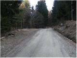
First, we drive to Škofja Loka, then we continue driving towards Železniki. In Železniki, we turn right in the direction of Rudno, Dražgoše and Bohinjska Bistrica. Towards Dražgoše, we drive to the settlement Rudno, there we continue slightly left in the direction of Bohinjska Bistrica. Further, we drive on a macadam road which ascends through the gully Rudenska grapa. Higher, the road turns sharply to the left and ascends above the gully. We follow the mentioned road to the road sign 4 km, where on the left side there is an appropriate space to leave the car.
Route description:
From the starting point, we continue on the road, and it soon makes a sharp right turn, after which we arrive at a smaller crossroad, where we continue left in the direction of Prtovč (straight Rovtarica). Further, we ascend on a relatively steep asphalt road, on which in a few minutes we arrive at the homestead Novak (Dražgoše 1). At the homestead, the blazes direct us slightly to the right (sharply right we return on the road Rudno - Bohinjska Bistrica) on the path which gently ascends across a meadow, then passes into the forest. For a short time we still ascend, then we pass to the other side of the ridge, where the path turns to the right and gradually begins to descend. Lower, we reach a macadam road, which we follow to the right, and we walk along it to its end or the place where it turns into a cart track.
From the end of the road, we continue slightly right on a marked footpath which first ascends, then descends to the nearby cart track. The cart track has a few forks further on, and we carefully follow the blazes everywhere. Somewhat further, the cart track ends, and we continue good 100 m on a poorly visible path which crosses steep slopes. After good 100 m we reach another cart track and continue the traverse along it. We continue the path on the cart track, which at numerous forks we follow in the direction the blazes direct us. Further on, the cart track crosses a few clearings, a bit further it brings us to a panoramic grassy slope above the village Podlonk. Here the marked path turns right and begins to ascend more steeply. Higher, we cross another larger meadow, the path then returns to the forest and brings us to the Hunting cottage on Toli.
At the hunting cottage, we step onto the road, along which in a few steps we walk to the crossroad. At the crossroad, we continue right (left Prtovč) and along the road we continue for approximately 1 minute, then poorly visible blazes direct us left onto a cart track which begins to ascend through the forest. The cart track soon ends, and we continue the ascent on a relatively steep path, which higher crosses the macadam road. We continue straight and then for some time ascend along the cart track. Higher, the cart track temporarily flattens completely, and at that spot we continue slightly left and further ascend on a somewhat steeper path again. After a few minutes of further walking, we arrive at the place where we join the wider path from the village Prtovč.
We follow the mentioned path to the right and further first cross a steep slope, then the path turns slightly to the left and begins to ascend more moderately. Higher, a pleasant little valley gradually forms, through which in a moderate ascent we climb to the cirque Razor, where there is also a fork.
We continue straight (right Kosmati vrh, mountain pasture Klom and Krekova koča over Vratca) on a wide path, which soon turns to the left and begins steeply ascending. The path further crosses a short stretch of forest, then brings us to the panoramic grassy slopes of Ratitovec. Here the path flattens, turns slightly to the right and brings us with nice views to the Krekova koča on Ratitovec.
From the hut, we continue right on a somewhat steeper path in the direction of Gladki vrh. We then follow this increasingly panoramic path all the way to Gladki vrh, which we reach after 5 minutes of further walking.

Photos:
 1
1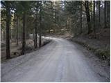 2
2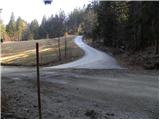 3
3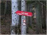 4
4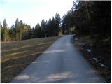 5
5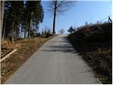 6
6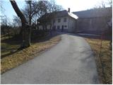 7
7 8
8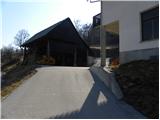 9
9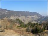 10
10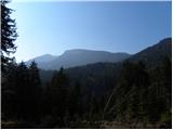 11
11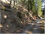 12
12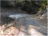 13
13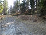 14
14 15
15 16
16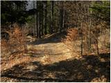 17
17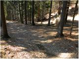 18
18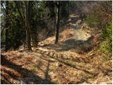 19
19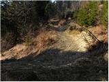 20
20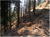 21
21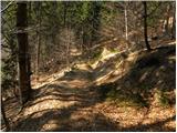 22
22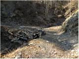 23
23 24
24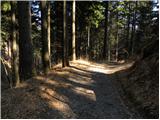 25
25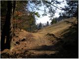 26
26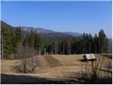 27
27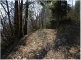 28
28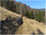 29
29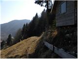 30
30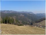 31
31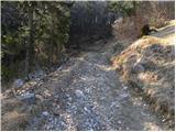 32
32 33
33 34
34 35
35 36
36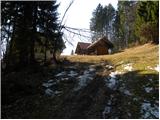 37
37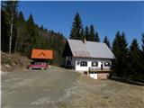 38
38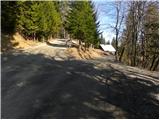 39
39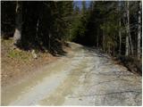 40
40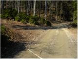 41
41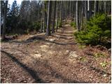 42
42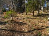 43
43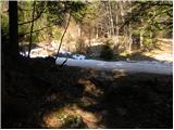 44
44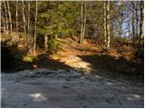 45
45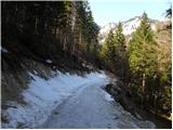 46
46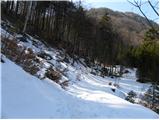 47
47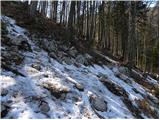 48
48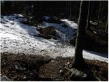 49
49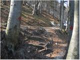 50
50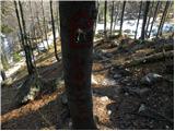 51
51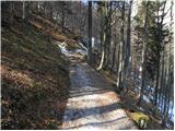 52
52 53
53 54
54 55
55 56
56 57
57 58
58 59
59 60
60 61
61 62
62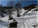 63
63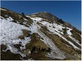 64
64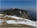 65
65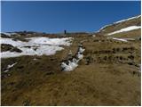 66
66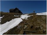 67
67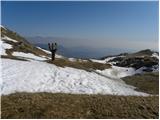 68
68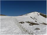 69
69 70
70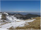 71
71 72
72 73
73 74
74 75
75
Discussion about the trip Rudenska grapa - Gladki vrh (Ratitovec)
To post a comment you must log in:
If you do not yet have a username, you must first
register.