Rudnik pri Radomljah - Tolsta gora
Starting point: Rudnik pri Radomljah (362 m)
| Latitude/Longitude: | 46,19550°N 14,62600°E |
| |
Walking time: 1 h 25 min
Difficulty: easy unmarked way
Elevation gain: 372 m
Elevation difference along the route: 390 m
Map:
Recommended equipment (summer):
Recommended equipment (winter): crampons
Views: 3.420
 | 4 people like this post |
Access to starting point:
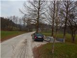
A) From the roundabout on the Kamnik bypass, we take the exit in the direction of Volčji Potok, then still before Arboretum Volčji Potok we turn left onto the road in the direction of Rudnik pri Radomljah. We then drive past the Arboretum golf course, and when we reach the priority road in Rudnik pri Radomljah, from the intersection we continue left and then park by the NOB monument, where there is space for at most 2 cars.
B) We drive to Radomlje, where from the roundabout in the middle of the settlement we take the exit towards the settlement Rova. About 100 m further from the church in Radomlje, we turn left onto Opekarniška ulica. We then drive straight and follow the signs for Rudnik. We drive past Galerija Repanšek and Glamping OB ROBU GOZDA, then soon notice the NOB monument on the right, where we park.
Route description:
From the starting point, we continue on the road which continues towards the north and splits before a smaller hamlet. We continue on the middle road which leads us past a few houses, then passes into the forest, through which it mostly ascends moderately. Higher, the path brings us out of the forest, where we go through the yards of a few houses, and behind the houses the path splits.
We continue straight and on a grassy cart track we cross a larger hayfield. Higher, the cart track ends, and we continue slightly left to the nearby hunting observation post, where we step into the forest and after a few steps reach another, wider cart track. We follow the cart track to the right, and at the poorly noticeable junction we choose the left cart track, so that Grdavov hrib, which we see in front of us, we bypass on the left side. On the northern side of the mentioned hill we reach an indistinct ridge, along which the cart track continues. Higher the ridge passes into a slope, and we follow the cart track straight or towards the north. A few minutes higher we reach the asphalt road Kamnik - Zgornje Palovče, which we follow to the left, along which we walk to the place where a forest road branches off to the right from the asphalt road. We continue on the forest road which mostly in a gentle ascent crosses the northwestern slopes of Lancar. When the crossing ends, we step onto the edge of the nearby hayfield, from which some views open up, and from the junction on the other side we continue on the footpath which continues between the cart track and the road. The path ahead first ascends transversely to the right, and when it reaches the northern slopes it turns left and then moderately ascends to the summit a few minutes away.
Description and pictures refer to the condition in 2018 (December).

Photos:
 1
1 2
2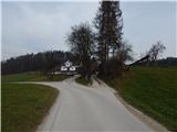 3
3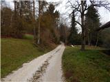 4
4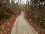 5
5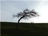 6
6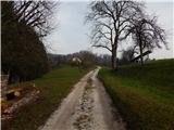 7
7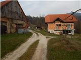 8
8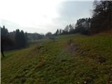 9
9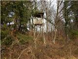 10
10 11
11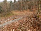 12
12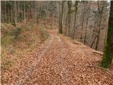 13
13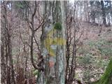 14
14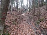 15
15 16
16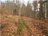 17
17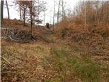 18
18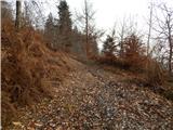 19
19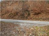 20
20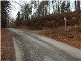 21
21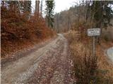 22
22 23
23 24
24 25
25 26
26 27
27 28
28 29
29 30
30 31
31 32
32
Discussion about the trip Rudnik pri Radomljah - Tolsta gora
To post a comment you must log in:
If you do not yet have a username, you must first
register.