Rudno polje - Mrežce (via Zgornji Razor)
Starting point: Rudno polje (1347 m)
| Latitude/Longitude: | 46,34580°N 13,92360°E |
| |
Route name: via Zgornji Razor
Walking time: 2 h
Difficulty: easy unmarked way
Elevation gain: 618 m
Elevation difference along the route: 640 m
Map: Triglav 1:25.000
Recommended equipment (summer):
Recommended equipment (winter): ice axe, crampons
Views: 17.432
 | 1 person like this post |
Access to starting point:
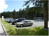
From the Ljubljana - Jesenice motorway we turn onto the Lesce exit and continue following the road towards Bled. At Bled the signs for Pokljuka at the traffic light direct us right. We then drive through Gorje and past the abandoned Zatrnik ski resort to Rudno polje on Pokljuka (large parking lot, barracks and shooting range).
Route description:
The described route runs through a quiet area of the TNP and is closed after the introduction of the area.
From the parking lot we head onto the forest road (direction Triglav), which in ten minutes of gentle ascent takes us to the Viševnik ski slope. Here the markers lead us right (the path to Triglav continues along the road) onto a marked footpath that continues to ascend moderately along the edge of the forest and beside the tow lift of the nearby ski slope. Higher up we step back onto the road, which we then follow to the right (straight on to Viševnik). We continue along the road, which first crosses a ski run (planina Krasce), then enters the forest and splits into two parts.
We continue left (straight on to Blejska koča) and proceed along the forest road closed to public traffic, which quickly brings us to a short scenic section of the path. Here the road turns sharply left and in a gentle ascent leads us back into the forest. A little higher the road turns right, then begins to descend gradually.
When the road starts to descend we stay alert, as a poorer unmarked track will soon branch off to the left.
We continue along the mentioned track, which in 3 minutes brings us to a kind of clearing or cut. Here we ascend straight up the cut, where we notice an old hunting trail along which we continue the ascent. The trail then leads us into the forest, where it temporarily levels out completely. For a short time we continue along an indistinct valley where numerous karst phenomena can be observed (shafts, Škraplje and similar), then we move onto gentle slopes where the trail slowly begins to disappear, but at least for now there are no major problems with route finding. The path ahead crosses the slopes to the right for some time, then leads us into the lower part of the Zgornji Razor valley. Here the barely visible trail turns slightly left and continues ascending along the edge of the already mentioned valley. Initially we ascend on the right side, then the trail, which disappears completely several times, slowly moves to the left side of the valley, where it then ascends beneath steep slopes. During the ascent we must cross several fallen trees, and the path, which is no longer one, leads us out of the forest onto increasingly scenic slopes. Here we continue straight along the ever-wider valley, and after a few more minutes of walking we step onto the marked path that leads from Blejska koča towards Srenjski preval.
Once on the mentioned marked path we follow it to the right, and along it we walk to the nearby marked junction. At the junction we turn left uphill in the direction of Mrežce (straight on to Blejska koča), and along the somewhat steeper path in approximately 15 minutes of further walking we reach the summit of Mrežce.

Photos:
 1
1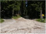 2
2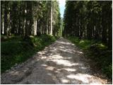 3
3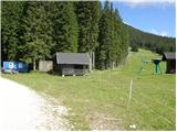 4
4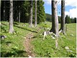 5
5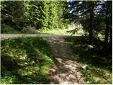 6
6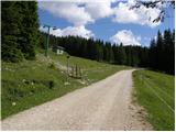 7
7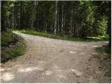 8
8 9
9 10
10 11
11 12
12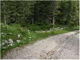 13
13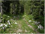 14
14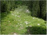 15
15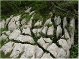 16
16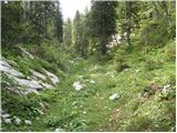 17
17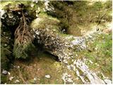 18
18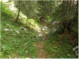 19
19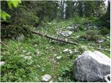 20
20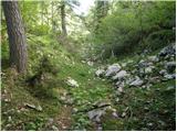 21
21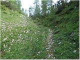 22
22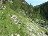 23
23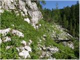 24
24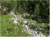 25
25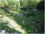 26
26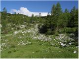 27
27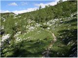 28
28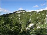 29
29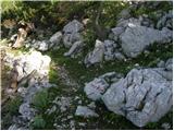 30
30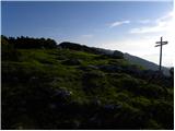 31
31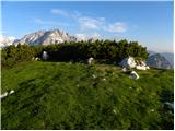 32
32
Discussion about the trip Rudno polje - Mrežce (via Zgornji Razor)
|
| miha ha13. 12. 2014 |
found a helly hansen jacket/down jacket, black color, at the top of the ski slope along the path
if anyone misses it call
040 938 086
miha
|
|
|
|
| tango25. 01. 2022 19:44:10 |
Today's goal was actually Debela peč, but since the track to Blejska koča was obviously not visible enough for us, we took it via planina Razor to Mrežce and since we noticed a junction from Blejska koča at about 1860 m, on the return from Mrežce we descended to it and continued to Debela peč. Back similar story. When we tried to find the way above Blejska koča towards Rudno polje we gave up, no tracks, so we climbed back to those 1860 m and returned to Rudno polje via the approach variant. Crampons and poles were quite useful, weather excellent, but a bit windy at the top!
|
|
|
To post a comment you must log in:
If you do not yet have a username, you must first
register.