Starting point: Ruše (308 m)
| Latitude/Longitude: | 46,53840°N 15,51410°E |
| |
Walking time: 3 h 15 min
Difficulty: easy marked way
Elevation gain: 1038 m
Elevation difference along the route: 1039 m
Map: Pohorje 1:50.000
Recommended equipment (summer):
Recommended equipment (winter): ice axe, crampons
Views: 5.435
 | 2 people like this post |
Access to starting point:
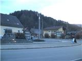
From Maribor, we drive towards Dravograd or vice versa, but only to the settlement Selnica ob Dravi, where we turn left (from the direction of Dravograd right) in the direction of the settlement Ruše. In the center of Ruše we will notice the NOB monument, and we park at a suitable place somewhere in the settlement.
Route description:
From the monument in the center of Ruše we go upwards along Areška cesta. At the last houses in the settlement signs point us to the left onto stairs, which continue among some houses. We quickly step into the forest, where along a steep path in a few minutes we get to three crosses, from where a nice view opens up on Ruše.
We continue through mixed forest, and the path quickly brings us to an asphalt road, which we follow to the left. On the asphalt we walk for quite some time, and the path leads us partly through the forest, and partly past some farms. When higher we get to a saddle we leave the asphalt road and continue right into the forest. Through the forest we walk on a worse macadam road, which we leave after a few minutes and continue left on a steep path, on which we will get to the farm Izlaker. We bypass the farm on the left side, where the path leads us over shorter stairs. Above the farm we continue on the path which continues between the meadow and the forest, and it brings us to the next road, where at the chapel a nice view opens up on Maribor and even further. A little further we join an asphalt road, which we follow slightly to the left. We continue past snack bar Martinca, and behind it a nice view opens up towards the north on Kozjak. When the asphalt road reaches the forest, we leave it and continue right on some sort of grassy path. A little further the marked path crosses the asphalt road, and we continue on the macadam road, which then leads us past some farms, company Ciproš and hunting cottage. At the farm Hleb we will notice a sign 800 m, and there we are also approximately halfway to Žigartov vrh.
After the farm the path passes into the forest through which it ascends on a cart track, which several times splits further on, and we always follow the marked one. After a few minutes of additional walking we get to NOB monument and a smaller shelter, where we can take shelter in case of bad weather. At the monument we again cross the road, and mountaineering signs help us too. There follows another road crossing, and then our path starts to ascend more steeply, flattening only occasionally here and there. Further on, the footpath on which we walk becomes somewhat more rocky and after about half an hour of additional walking we will cross the ski slope too. There follows a shorter ascent through the forest, where the path is nicely arranged with logs that prevent erosion. A little further we step out of the forest and get to the hotel on Areh, and we continue to the road (nearby there is Ruška koča na Arehu).
When we step on the road we follow it to the right, at the next junction we leave SPP, along which we walked briefly. The path ahead brings us to a ski slope, and we stick to the edge of the forest, higher we leave the ski slope and pass into the forest. There follow a few more well-marked junctions and the path brings us to the forested Žigartov vrh.

Photos:
 1
1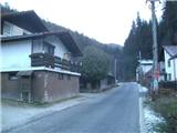 2
2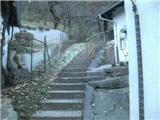 3
3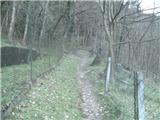 4
4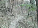 5
5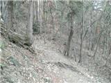 6
6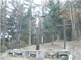 7
7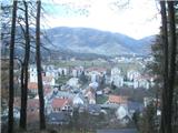 8
8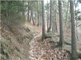 9
9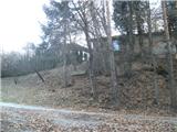 10
10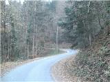 11
11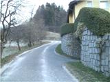 12
12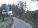 13
13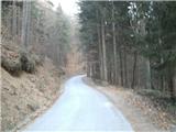 14
14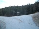 15
15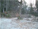 16
16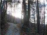 17
17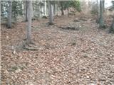 18
18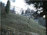 19
19 20
20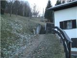 21
21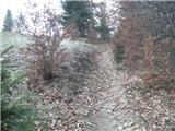 22
22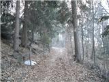 23
23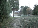 24
24 25
25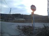 26
26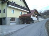 27
27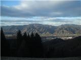 28
28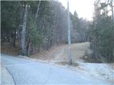 29
29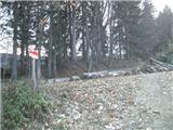 30
30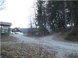 31
31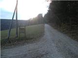 32
32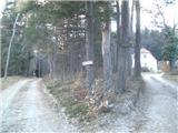 33
33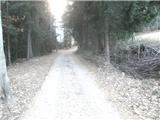 34
34 35
35 36
36 37
37 38
38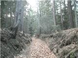 39
39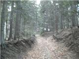 40
40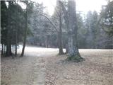 41
41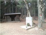 42
42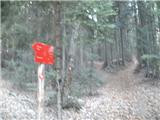 43
43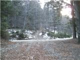 44
44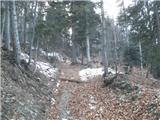 45
45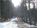 46
46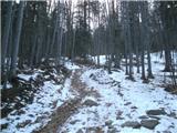 47
47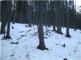 48
48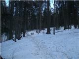 49
49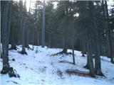 50
50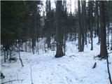 51
51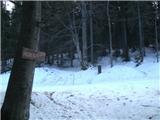 52
52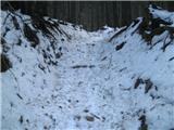 53
53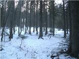 54
54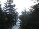 55
55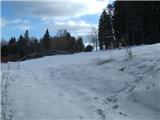 56
56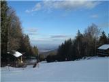 57
57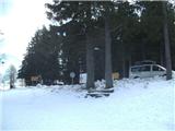 58
58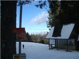 59
59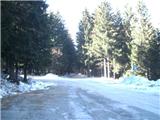 60
60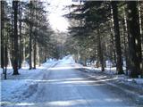 61
61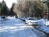 62
62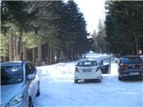 63
63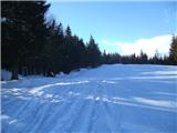 64
64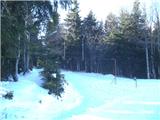 65
65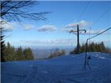 66
66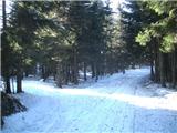 67
67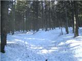 68
68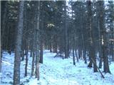 69
69 70
70 71
71
Discussion about the trip Ruše - Žigartov vrh
To post a comment you must log in:
If you do not yet have a username, you must first
register.