Sebeborci - Sveti Benedikt (Kančevci)
Starting point: Sebeborci (222 m)
| Latitude/Longitude: | 46,71190°N 16,20640°E |
| |
Walking time: 1 h 20 min
Difficulty: easy unmarked way
Elevation gain: 136 m
Elevation difference along the route: 165 m
Map:
Recommended equipment (summer):
Recommended equipment (winter):
Views: 2.333
 | 1 person like this post |
Access to starting point:
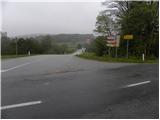
We leave the Pomurska motorway at the exit for Murska Sobota, and then we continue driving in the direction of Moravske Toplice. When we get to Martjance, we leave the main road which leads towards Moravske Toplice and further towards Lendava, and we continue driving left in the direction of Sebeborci and Križevci. At the end of Sebeborci, the road towards Križevci branches off to the left, where our path begins. Because at the starting point there are no appropriate parking spaces, we have to park at an appropriate place somewhere else (best at an appropriate place by the road towards Križevci).
Route description:
From the crossroad in Sebeborci we continue left in the direction of Križevci and Dom duhovnosti Benedikt. The road first slightly descends, then brings us to the village Andrejci, where it starts first slightly, then moderately ascending. Higher, the road entirely flattens, then with occasional nice views on the surrounding hills brings us to a crossroad, where the road towards Ivanovci branches off to the right.
We continue straight past the sign which marks the beginning of the municipality Gornji Petrovci and start moderately ascending through a strip of forest. The road quickly flattens, then brings us to a smaller hamlet, where at the crossroad we continue right into the village Ivanovci. A short ascent follows and the road brings us to the church of St. Benedikt in Kančevci.
Photos:
 1
1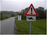 2
2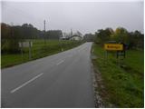 3
3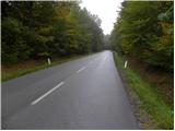 4
4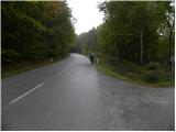 5
5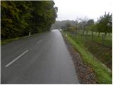 6
6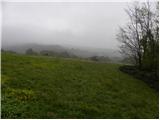 7
7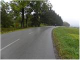 8
8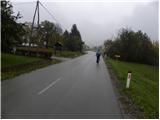 9
9 10
10 11
11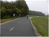 12
12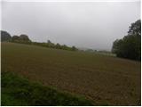 13
13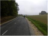 14
14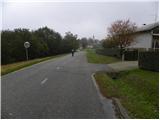 15
15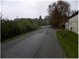 16
16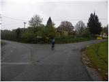 17
17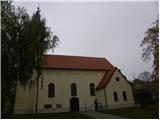 18
18
Discussion about the trip Sebeborci - Sveti Benedikt (Kančevci)
|
| Kriška13. 11. 2012 |
Looking at these photos and description, somehow I don't understand why this is listed among mountain trail descriptions? Nor why it should be a "easy unmarked TRAIL", when we walk all the time on a completely normal, wide asphalted road?
|
|
|
|
| Darxta13. 11. 2012 |
I agree. In addition, for 1h 20min you walk on the road without sidewalk, thus unnecessarily exposing yourself to local traffic. I write unnecessarily, because the map shows a path that largely avoids the asphalted road.
|
|
|
To post a comment you must log in:
If you do not yet have a username, you must first
register.