Starting point: Selce (1 m)
Walking time: 1 h
Difficulty: easy marked way
Elevation gain: 379 m
Elevation difference along the route: 380 m
Map:
Recommended equipment (summer):
Recommended equipment (winter):
Views: 794
 | 1 person like this post |
Access to starting point:
In Selce we come via the Jadranska magistrala. The settlement is located between Crikvenica and Novi Vinodolski. Outside the tourist season we can park in Selce, but during the season it is hard to find a suitable parking spot.
Route description:
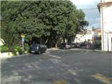
We start on the main square in the town of Selce, where there are the post office, a bakery, and the tourist office. We start upwards on the main road in the direction towards Senj. We leave the main road when we notice Slavka Jeličića street on the left side, continuing on the mentioned narrower street, which leads us to Maršala Tita street. We turn left again, but only for about ten meters, then, when we notice a street on the right and a staircase with a blue fence, we turn right. We cross another street and, via the stairs, arrive at the Jadranska magistrala, where there is a bus stop. Up to this point, the path hasn’t been marked. Here, by the bus stop, it is also possible to start the path, but there aren’t any suitable parking spots nearby.
Beyond the bus stop, we will notice the first blaze on a tree. We go upwards, the path leading us between two stone walls and ascending gently. Further on, there are no blazes for some time, but we can orient ourselves along the route of the power line, crossing two cart tracks while walking beside it. A little further, we reach a crossing where we join the path from the town of Novi Vinodolski. From here on, blazes are more frequent and clearly visible.
A few minutes after the crossing, we leave the stone wall, and the path flattens. We soon enter a stretch of bushes, where there is another crossing, joined by the path from the settlement of Bribir. From the crossing, we go left, and the path begins to ascend more steeply. During the ascent, a view of Vinodol opens up for the first time.
A few minutes higher, the ascent ends, and the path leads us to the Grohotica plateau. Here, a beautiful view opens up on Vinodol to the east and the island of Krk to the west. Further on, blazes are mostly on stones, and occasional cairns also guide us. After some more ascending, the path brings us to the summit of Drenin.
The path is mostly exposed to the sun and, in summer, to heat, so I don’t recommend ascending this route during that time.

Photos:
 1
1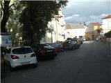 2
2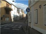 3
3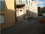 4
4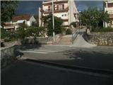 5
5 6
6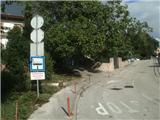 7
7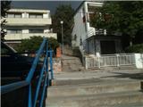 8
8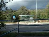 9
9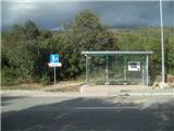 10
10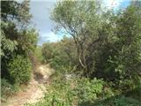 11
11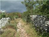 12
12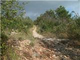 13
13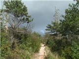 14
14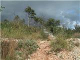 15
15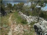 16
16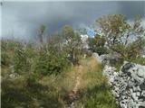 17
17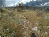 18
18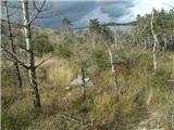 19
19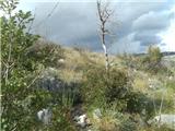 20
20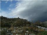 21
21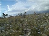 22
22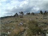 23
23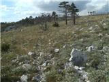 24
24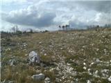 25
25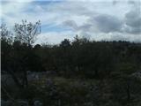 26
26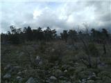 27
27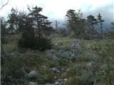 28
28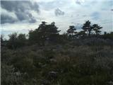 29
29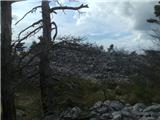 30
30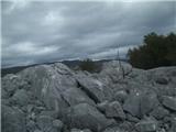 31
31
Discussion about the trip Selce - Drenin
To post a comment you must log in:
If you do not yet have a username, you must first
register.