Selo nad Polhovim Gradcem - Pasja ravan (via Ostrež)
Starting point: Selo nad Polhovim Gradcem (710 m)
| Latitude/Longitude: | 46,10170°N 14,29600°E |
| |
Route name: via Ostrež
Walking time: 2 h 15 min
Difficulty: easy marked way
Elevation gain: 310 m
Elevation difference along the route: 475 m
Map: Škofjeloško in Cerkljansko hribovje 1:50.000
Recommended equipment (summer):
Recommended equipment (winter):
Views: 17.248
 | 1 person like this post |
Access to starting point:
a) From the direction of Polhov Gradec: From Horjul or Dobrova we drive to Polhov Gradec, from where we continue driving towards Črni Vrh. Slightly above Polhov Gradec, at the junction at the confluence of Mala Božna and Velika Božna, we continue straight towards Selo and Škofja Loka (the road to Črni Vrh turns left). We drive for some time along the Mala Božna stream, then at the junction we turn right towards the village of Selo (this is the second right turn after the point where we left the road towards Črni Vrh). We then ascend a rather steep road that levels out higher up, and after a short descent we arrive in the village of Selo. Here we continue right (straight leads to Sveti Ožbolt) and follow the road for only another good 100 meters to the arranged parking lot by the chapel.
b) From the direction of Škofja Loka: From Škofja Loka we take the road that leads through Puštal towards Hrastnica and Log nad Škofjo Loko. We follow the road that runs along the Hrastnica stream up the valley towards the village of Selo. When the valley closes, the road begins to ascend steeply in switchbacks towards the ridge. When we reach the village of Selo nad Polhovim Gradcem, we soon reach the chapel and the parking lot beside it on the left side (just before the junction for Sveti Ožbolt). The road from the Škofja Loka side is entirely asphalted and regularly plowed in winter.
Route description:
From the parking lot by the chapel we take the ascending road towards Selo and Črni Vrh (if we arrived at the starting point from Polhov Gradec, this is the road we drove on to reach the starting point). After a short ascent the road brings us to the first houses, then it levels out and after a few more minutes of walking brings us to the Ogrinc farm with an open-door policy, in front of which we see a registration box. We continue a few more steps and the road brings us to a small junction where we continue left (right to Sveti Ožbolt), but we follow the mentioned road for only a few steps, as the signs for Črni Vrh direct us right onto an ascending cart track.
We continue the ascent on a well-marked cart track that initially leads across a scenic grassy slope, then continues partly through forest and partly across grassy meadows. After some time the path descends slightly and brings us to a marked junction where the path from Sveti Ožbolt joins from the right. We continue left towards Črni Vrh and follow the path on the cart track that gradually begins to descend more steeply. Lower down the path splits into two parts, and we continue on the road from which we soon turn right onto a cart track or poorer road. The cart track then soon levels out and after a few more minutes of walking brings us to a marked junction where we continue in the direction of Črni Vrh - via Ostrež (it is also possible to continue over the summit of Mlaka, the latter being approx. 15 minutes longer). The path ahead leads through the forest for some time, then brings us out of the forest where we pass an abandoned homestead on the right side.
The road then returns to the forest where it gradually begins to ascend gently. Higher up we emerge from the forest onto a scenic grassy ridge (here the path over the summit of Mlaka joins from the right), where we also step onto asphalt. Ahead we pass a few houses, then the road begins to descend more steeply towards a small saddle. During the descent a path towards Črni Vrh branches off to the left, but we continue straight and follow the road to the already mentioned saddle.
At the saddle near the Košir tourist farm we first continue straight, then at a small junction slightly left towards Pasja ravan. We continue on the ascending road that soon turns into forest, but we follow it for only a few minutes, as we then see signs for Pasja ravan by the road that direct us right onto a marked footpath. We follow the mentioned path, which ascends moderately to steeply through the forest, all the way to the spacious summit.

The trip can be extended to the following destinations: Sivka
Photos:
 1
1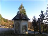 2
2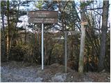 3
3 4
4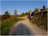 5
5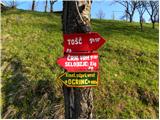 6
6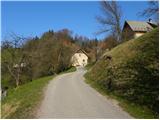 7
7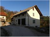 8
8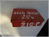 9
9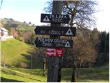 10
10 11
11 12
12 13
13 14
14 15
15 16
16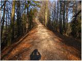 17
17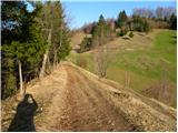 18
18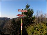 19
19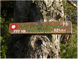 20
20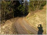 21
21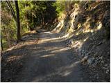 22
22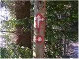 23
23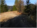 24
24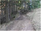 25
25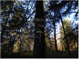 26
26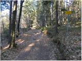 27
27 28
28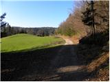 29
29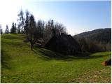 30
30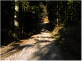 31
31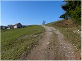 32
32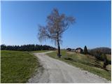 33
33 34
34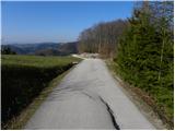 35
35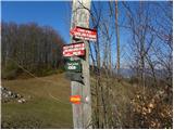 36
36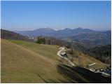 37
37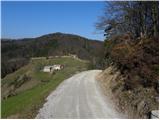 38
38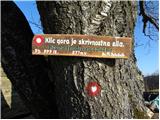 39
39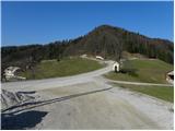 40
40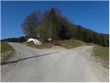 41
41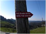 42
42 43
43 44
44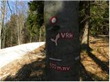 45
45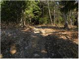 46
46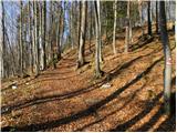 47
47 48
48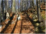 49
49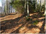 50
50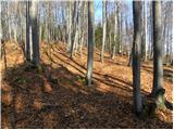 51
51 52
52 53
53 54
54 55
55
Discussion about the trip Selo nad Polhovim Gradcem - Pasja ravan (via Ostrež)
|
| viharnik11. 04. 2010 |
Nice tour also by mountain bike. Apparently Pasja ravan is 10m higher at 1029m according to PZS map, than Tošč 1019m and not vice versa.
|
|
|
|
| ločanka16. 11. 2020 |
Some corrections after all these years. The right turnoff in picture 23 is better to ignore. After two markers it's practically impassable or completely overgrown.
The directional signs in picture 26, at the trail junction, need to be found lower down on a stump, where we head towards the summit of Mlake.
Otherwise a very interesting trail. Nicer than I imagined . I recommend up the upper trail over Mlake summit (Prosenov grič), back via the described trail. . I recommend up the upper trail over Mlake summit (Prosenov grič), back via the described trail.
|
|
|
|
| Ljubljana17. 04. 2021 11:34:32 |
Thanks "ločanka" for the posted comment.
Best regards,
|
|
|
To post a comment you must log in:
If you do not yet have a username, you must first
register.