Starting point: Širje (450 m)
| Latitude/Longitude: | 46,09270°N 15,16080°E |
| |
Walking time: 1 h 55 min
Difficulty: partly demanding marked way
Elevation gain: 460 m
Elevation difference along the route: 580 m
Map:
Recommended equipment (summer):
Recommended equipment (winter):
Views: 15.954
 | 1 person like this post |
Access to starting point:
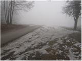
From Sevnica or Celje we drive to Zidani Most, where we head towards Hrastnik. At the end of the village of Zidani Most, signs for the church of Marija Širje direct us right uphill on a narrow asphalt road that climbs steeply. When the steepness of the road eases, we will notice a parking lot on its right side by the road, where we park.
From Hrastnik we drive towards Zidani Most. Soon after the village of Suhadol, the road to the church of Marija Širje branches sharply left. Then follow the above description.
Route description:
From the parking lot, we continue on the road which across an extensive meadow in five minutes brings us to the church in the village. Just a few steps ahead from the church, the markers direct us left onto the path that goes among the houses. Behind the houses, we pass onto a cart track which after a few minutes brings us to a macadam road. We follow this road, which ascends moderately and becomes progressively worse, to the point where it emerges from the forest. Here we continue right uphill on the cart track, which leads us past a double hayrack (toplar) and behind it brings us to a path junction.
Further, we continue on the marked path in the direction of Gore. The path ahead again runs through the forest, where it ascends diagonally. After a while, the path turns right and soon after emerges from the forest onto grassy slopes, where the steepness also eases. This is followed by a short walk across a meadow, after which we reach a path junction. Here we continue straight on the unmarked cart track, which quickly brings us to the road. Here we continue on the road left slightly downhill to the junction, where we notice signs for Kopitnik. We continue right on the road, which ascends slightly. After a few minutes the road becomes macadam and occasionally descends slightly. After a further few minutes' walk, we reach the triangular junction, where we continue right in the direction of Kopitnik. A little further on, the marked path from the Dom v Gorah joins from the left. We continue straight on the road, which in the next few steps brings us to the next junction, where we continue right in the direction of Kopitnik, koča. This road (or also via the marked shortcut) then brings us to the hut on Kopitnik in five minutes.
From the hut we continue on the path in the direction of the summit. After a few minutes, the path brings us to a forest road, where we continue left. The road then leads past the playground and behind it changes into a cart track. From the cart track, a marked footpath branches left, which through the forest brings us to the pre-summit of Kopitnik. This is followed by a short descent and then an ascent on a steep and slightly exposed slope. On the final ascent to the summit, fixed protections assist us, but they are not strictly necessary. Greater caution is needed on the summit itself, as it is narrow and precipitous.

Photos:
 1
1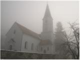 2
2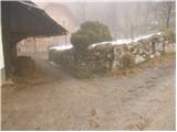 3
3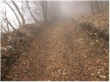 4
4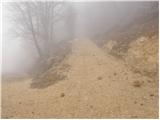 5
5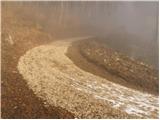 6
6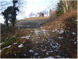 7
7 8
8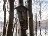 9
9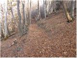 10
10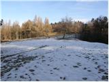 11
11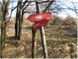 12
12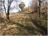 13
13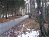 14
14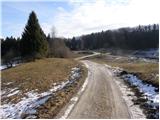 15
15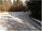 16
16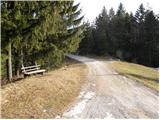 17
17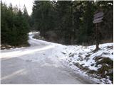 18
18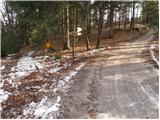 19
19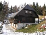 20
20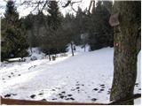 21
21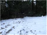 22
22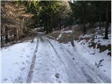 23
23 24
24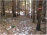 25
25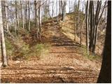 26
26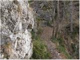 27
27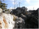 28
28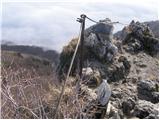 29
29
Discussion about the trip Širje - Kopitnik
|
| iziizi26. 02. 2012 |
Just a little further on, the marked path from Dom v Gorah joins from the left. ATTENTION, don't turn too early - just a bit further - that's 15 minutes' walk, otherwise very accurately described.
|
|
|
To post a comment you must log in:
If you do not yet have a username, you must first
register.