Škalske Cirkovce - Stropnica (via Stropnik)
Starting point: Škalske Cirkovce (615 m)
| Latitude/Longitude: | 46,39553°N 15,13639°E |
| |
Route name: via Stropnik
Walking time: 1 h 10 min
Difficulty: easy marked way
Elevation gain: 265 m
Elevation difference along the route: 325 m
Map: Šaleška dolina z okolico 1:50000
Recommended equipment (summer):
Recommended equipment (winter):
Views: 360
 | 2 people like this post |
Access to starting point:
From the highway Ljubljana - Maribor take the exit Žalec. Continue driving in the direction of Velenje.
In the main roundabout (2nd roundabout) in Velenje, below the ski jumping hill, continue straight (2nd exit) in the direction of Šoštanj - Mozirje.
Then at the traffic-light junction turn right. Drive straight, over the railway track, uphill to the next roundabout.
Take the 3rd exit in the direction of the town stadium. The next roundabout follows, in which take the 1st exit in the direction of Škale - Graška gora.
Drive past Lake Škale to the settlement Škale. A junction follows, in which turn right towards Cirkovce.
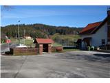
Drive through the settlement Hrastovec to Škalske Cirkovce. At the church of St. Ožbolt turn right and park by the sports field.
Route description:
From the parking lot at the sports field go right by the branch school Cirkovce and descend on a narrower paved path to the road.
A junction follows, where we turn right. The road rises to the saddle between Vodemla and Stropnica.
Continue left and join the Sončna pot, which connects Lubelo, Vodemla, Stropnica and Smodivnik.
After 100 m of macadam road turn left. First on a grassy path, then on a wide forest path.
We quickly gain altitude. We arrive at a larger meadow, where we may encounter chamois.
Go along the forest across the meadow and past the house. Continuing, we reach the hunting observatory,
continue past it to the end of the meadow, where a sign directs us left back into the forest.
A steep forest path follows. The top of the hill is also the peak of Stropnik. From the top of Stropnik follow the markings
of the Sončna pot forward towards the summit of Stropnica. The path leads a little up and a little down. The distance between both peaks is approximately 500 m.

Photos:
 1
1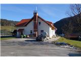 2
2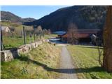 3
3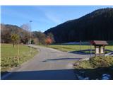 4
4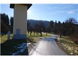 5
5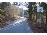 6
6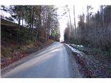 7
7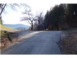 8
8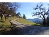 9
9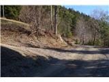 10
10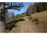 11
11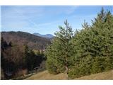 12
12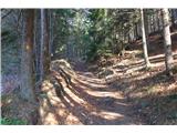 13
13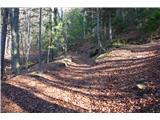 14
14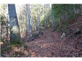 15
15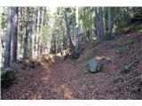 16
16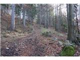 17
17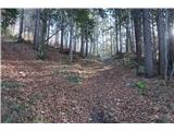 18
18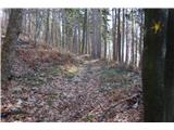 19
19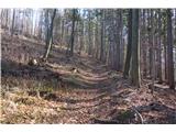 20
20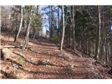 21
21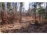 22
22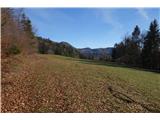 23
23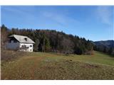 24
24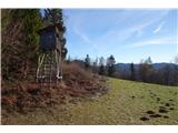 25
25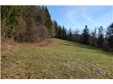 26
26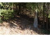 27
27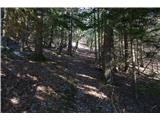 28
28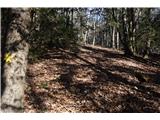 29
29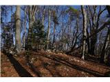 30
30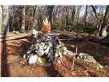 31
31 32
32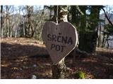 33
33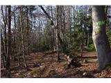 34
34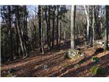 35
35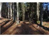 36
36 37
37 38
38 39
39 40
40 41
41
Discussion about the trip Škalske Cirkovce - Stropnica (via Stropnik)
To post a comment you must log in:
If you do not yet have a username, you must first
register.