Slačka baba - Sveti Štefan (Zanigrad)
Starting point: Slačka baba (100 m)
| Latitude/Longitude: | 45,52000°N 13,89580°E |
| |
Walking time: 50 min
Difficulty: easy unmarked way
Elevation gain: 146 m
Elevation difference along the route: 175 m
Map: Slovenska Istra - Čičarija, Brkini in Kras 1:50.000
Recommended equipment (summer):
Recommended equipment (winter):
Views: 3.350
 | 1 person like this post |
Access to starting point:
From the highway Ljubljana - Koper, we take the exit Črni Kal. From Črni Kal, we continue driving on the old road towards the coast, but we drive along it only to the next somewhat larger crossroads, where we turn left in the direction of the border crossing Sočerga. Further, we drive towards the mentioned border crossing, but we follow the road only a few km, because then the signs for the village Hrastovlje direct us to the left onto a local road. After a few km of additional driving, we pay attention because opposite the nearby pig farm, a macadam road branches off to the left beside which we park (the road turn-off is exactly below the power lines).
Route description:
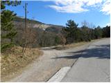
From the starting point, we descend on the macadam road to the nearby water tank, there we continue sharply left on a somewhat narrower macadam road. The macadam road further gently ascends and through the underpass under the railway track brings us to a smaller unmarked junction, where we continue right. Further, we ascend for a short time parallel to the railway track, then the road turns somewhat to the left and starts moderately ascending towards the village Podpeč.
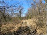
A little higher, still before we reach Podpeč, we will come to an unmarked junction, where we continue right on the marked cart track (if we continue straight on the road we reach Podpeč). The cart track ahead for some time crosses the slopes to the right, then it brings us to the next junction, where the path from Hrastovlje joins from the right. Here we continue left and proceed on the cart track, which starts moderately ascending over the increasingly steep slope. A little higher we reach the information board with a view of Štrkljevica (wall of Kraški rob), and we continue on the marked path, along which in a few minutes of further walking we arrive in the partly abandoned village Zanigrad. When we step onto the road, we follow it to the right, and we descend along it to the nearby church of St. Stefan.

Photos:
 1
1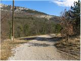 2
2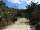 3
34
 5
5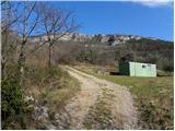 6
6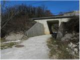 7
7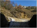 8
8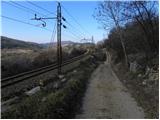 9
9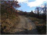 10
10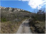 11
11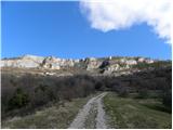 12
12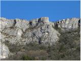 13
13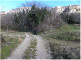 14
14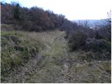 15
15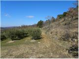 16
16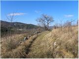 17
17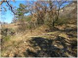 18
18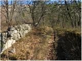 19
19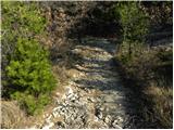 20
20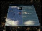 21
21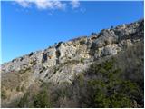 22
22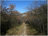 23
23 24
24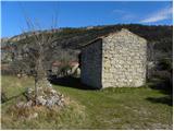 25
25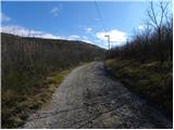 26
26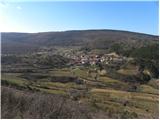 27
27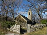 28
28
Discussion about the trip Slačka baba - Sveti Štefan (Zanigrad)
To post a comment you must log in:
If you do not yet have a username, you must first
register.