Slovenji Plajberk / Windisch Bleiberg - Rabenberg
Starting point: Slovenji Plajberk / Windisch Bleiberg (948 m)
| Latitude/Longitude: | 46,49020°N 14,23930°E |
| |
Walking time: 1 h 45 min
Difficulty: easy unmarked way
Elevation gain: 517 m
Elevation difference along the route: 525 m
Map: Karavanke - osrednji del 1:50.000
Recommended equipment (summer):
Recommended equipment (winter): ice axe, crampons
Views: 256
 | 1 person like this post |
Access to starting point:
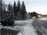
Via the Ljubelj border crossing we drive into Austria, and after a few kilometers we turn left towards the valley Poden / Bodental. There follows some more ascent, and then we arrive at the settlement Slovenji Plajberk / Windisch Bleiberg, where we park on the parking lot below the church.
Route description:
From the parking lot below the church we continue straight and quickly arrive at the inn Gasthaus Kirchenwirt, where at the inn the marked path to Žingarica / Singerberg branches off to the right. We continue beside the inn on a narrower, initially still asphalt road. At the crossroads we follow the signs for Žingarica and quickly arrive at a hamlet of a few houses, where we go slightly left and across a smaller stream. Again a shorter ascent follows along the road, from it we go right in the already familiar direction and through the panoramic section pass into the forest. Through the forest we ascend and soon arrive at a marked junction, where we choose the somewhat longer path over the saddle Albink / Halbingsattel.
Next follows a steeper ascent; when we climb above the nearby cliff, a nice view of the Karawanks opens up from its edge, and the path here turns left and a bit higher crosses another stream.
Before crossing the stream we can notice an entrance to a former lead mine on the left; after the stream the path ascends steeply for some time. Higher we temporarily step onto the forest road, which we leave soon after the left serpentine, then cross it a few more times or stay on it briefly. After a while we pass a mighty larch, behind it we step out of the forest onto a panoramic slope from which a wonderful view opens up on the central Karawanks with the highest Stol. Here the path temporarily turns right into the forest and joins a road, which we follow left and quickly reach the saddle Albink, where there is a marked junction.
From the saddle we continue left uphill on an unmarked road (slightly left saddle Vranjica / Orienzasattel, right Žingarica), along which we moderately ascend for some time, then the road, from which occasional views mainly to the north open up, levels off. In the last section we follow the gentle road to its end, from where we continue left and in a few steps ascend to the highest point of the summit Rabenberg.
Slovenji Plajberk - Albink 1:20, Albink - Rabenberg 0:25.
Description and pictures refer to the condition in the year 2019 (December).

Along the route: Albink / Halbingsattel (1360m)
Photos:
 1
1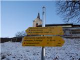 2
2 3
3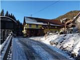 4
4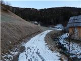 5
5 6
6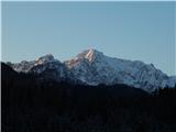 7
7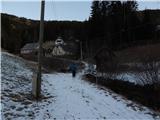 8
8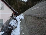 9
9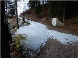 10
10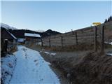 11
11 12
12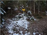 13
13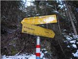 14
14 15
15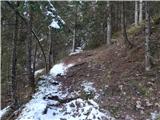 16
16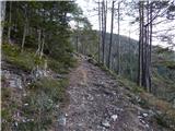 17
17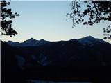 18
18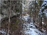 19
19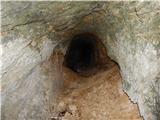 20
20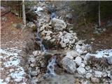 21
21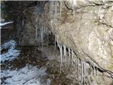 22
22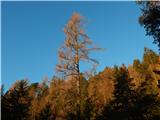 23
23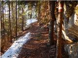 24
24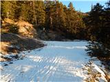 25
25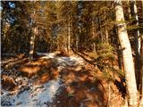 26
26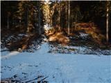 27
27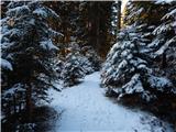 28
28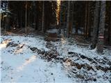 29
29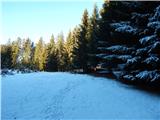 30
30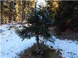 31
31 32
32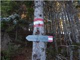 33
33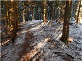 34
34 35
35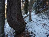 36
36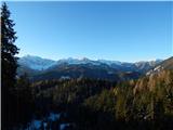 37
37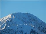 38
38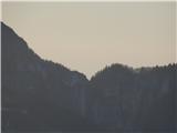 39
39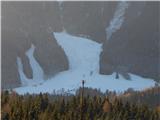 40
40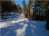 41
41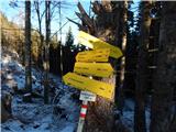 42
42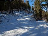 43
43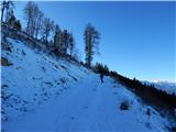 44
44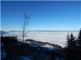 45
45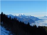 46
46 47
47 48
48 49
49 50
50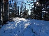 51
51 52
52 53
53
Discussion about the trip Slovenji Plajberk / Windisch Bleiberg - Rabenberg
To post a comment you must log in:
If you do not yet have a username, you must first
register.