Slovenske Konjice (pokopališče) - Konjice Castle (strma pot)
Starting point: Slovenske Konjice (pokopališče) (365 m)
| Latitude/Longitude: | 46,33618°N 15,41561°E |
| |
Route name: strma pot
Walking time: 25 min
Difficulty: partly demanding marked way
Elevation gain: 150 m
Elevation difference along the route: 160 m
Map:
Recommended equipment (summer):
Recommended equipment (winter): ice axe, crampons
Views: 7.813
 | 2 people like this post |
Access to starting point:
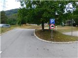
From the Ljubljana - Maribor motorway we head to the Slovenske Konjice exit and follow the road to the mentioned town. In the centre of Slovenske Konjice we leave the main road (continue left) and head towards the church of St. Jurij. At the church we turn right uphill and follow the road for a few hundred metres to the town cemetery, where we park in the large arranged parking lot.
Route description:
From the parking lot we first walk to the cemetery and ascend along its left side to the marked junction. This is located above the church of St. Ana, which stands at the upper part of the cemetery.
Here we turn slightly right from the road towards the more difficult path (straight leads the easier path), which immediately turns into forest. A little further we step onto the ridge, along which we begin to ascend steeply. After a few minutes of steepness we reach a short, somewhat more demanding section. Especially when wet there is a risk of slipping over a length of a few steps, which applies especially for the descent. Immediately above this section the ridge and path level out, and after a few steps we reach a cart track, which we follow right uphill. The cart track soon turns slightly left, then the easier path joins from the left.
We continue straight and along the edge of the meadow reach a poorer road, where the path splits again. We turn right towards Grad Konjice, which we can already see nicely (straight Skala, Trije križi ...), and descend moderately along the road. At a small saddle we leave it and turn slightly right onto the path, which ascends to the castle in a few minutes, from where an arranged viewpoint opens a nice view of Slovenske Konjice and the surrounding hills.
The description and pictures refer to the situation in August 2026.

Photos:
 1
1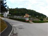 2
2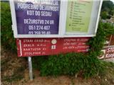 3
3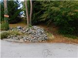 4
4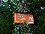 5
5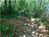 6
6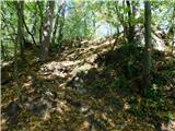 7
7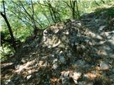 8
8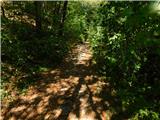 9
9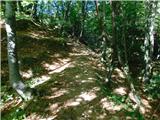 10
10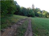 11
11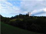 12
12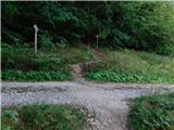 13
13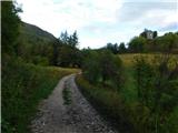 14
14 15
15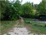 16
16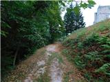 17
17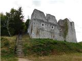 18
18 19
19 20
20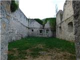 21
21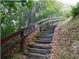 22
22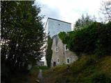 23
23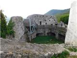 24
24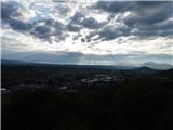 25
25 26
26
Discussion about the trip Slovenske Konjice (pokopališče) - Konjice Castle (strma pot)
|
| bruny31. 05. 2014 |
...up via the easier variant...and down via the harder one...For years I planned to "conquer" this point, it always somehow eluded me and today on the last day of May late afternoon in 2014 it "finally succeeded". Pleasant spot, nice views...the Oplotni part of Pohorje and around Rogla have apparently been "properly rained on". Mini activity but beautiful. Hiking, enjoyable pace, took lots of photos...after correction 3.30 km and even  discussions about the described trip haven't happened until today...Konjiški grad,31.05.2014Lp discussions about the described trip haven't happened until today...Konjiški grad,31.05.2014Lp
|
|
|
To post a comment you must log in:
If you do not yet have a username, you must first
register.