Slovenske Konjice (pokopališče) - Skala (lažja pot)
Starting point: Slovenske Konjice (pokopališče) (365 m)
| Latitude/Longitude: | 46,33618°N 15,41561°E |
| |
Route name: lažja pot
Walking time: 1 h 15 min
Difficulty: easy marked way
Elevation gain: 412 m
Elevation difference along the route: 420 m
Map:
Recommended equipment (summer):
Recommended equipment (winter): ice axe, crampons
Views: 27.151
 | 3 people like this post |
Access to starting point:
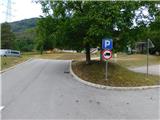
From the Ljubljana - Maribor motorway we take the exit for Slovenske Konjice and follow the road to the mentioned town. In the centre of Slovenske Konjice we leave the main road (continue left) and head towards the church of St. George. At the church we turn right uphill and follow the road for a few hundred metres to the town cemetery, where we park in the large arranged parking area.
Route description:
From the parking area we first walk to the cemetery and ascend along its left side to the marked junction. This is located above the church of St. Anne, which stands at the upper part of the cemetery.
We continue straight in the direction of the easier path (right the harder path), where we pass a few more houses; before the last house we turn slightly left onto a cart track that leads into the forest. In the forest we immediately turn right (left Zmajčkova gozdna učna pot) and continue along the cart track to the quarry; after it we soon turn left onto a somewhat steeper trail that a little higher joins the harder path.
We continue left and ascend across the meadow to a forest road, which we only cross (right Grad Konjice and Stolpnik).
Above the road we follow the signs for Žička kartuzija and Skala, then at several successive junctions we follow the waymarks. Further on we ascend for some time along a route where a cycling downhill trail runs, so a little more caution is needed; higher up we reach a junction at the meeting with a forest road.
We turn left in the direction of Skala and do not step onto the road at all (along the road the path continues towards Trem križem). There follows some transverse ascent to the left, then we temporarily step onto a gravel road, which we follow only to the first bend.
From the bend we turn onto the marked footpath in the direction of Skala, where we start ascending again through the forest; higher up the path passes onto a slope along which we ascend transversely to the left.
A little further we reach the next marked junction, where another path joins from the centre of Slovenske Konjice or from the church of St. George; we continue straight and gradually move onto a steeper slope where a steel cable helps us. When the cable ends (the passage on this section is not demanding) we already arrive at Skala, where there are a few benches and from where a beautiful view opens.
The description and pictures refer to the situation in August 2026.

The trip can be extended to the following destinations: Stolpnik
Photos:
 1
1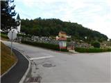 2
2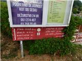 3
3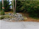 4
4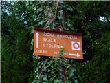 5
5 6
6 7
7 8
8 9
9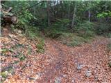 10
10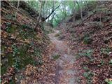 11
11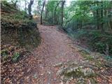 12
12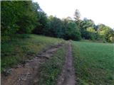 13
13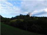 14
14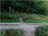 15
15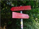 16
16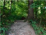 17
17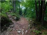 18
18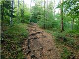 19
19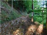 20
20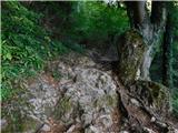 21
21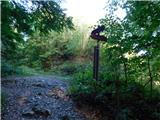 22
22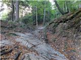 23
23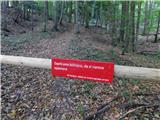 24
24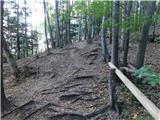 25
25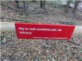 26
26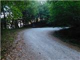 27
27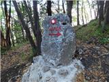 28
28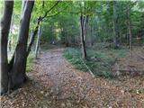 29
29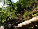 30
30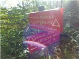 31
31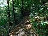 32
32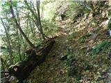 33
33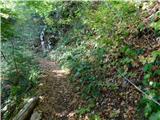 34
34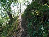 35
35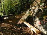 36
36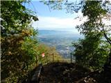 37
37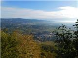 38
38
Discussion about the trip Slovenske Konjice (pokopališče) - Skala (lažja pot)
|
| gasilec25. 03. 2009 |
I must praise the caretakers of this path (probably PD Konjice), the path is well marked, new and impeccable protections, new logbook with attached pens, at the bench 2 thermometers (so you know if you're hot or cold). I hope visitors will know how to maintain this condition and thus reward the effort of the path markers.
|
|
|
|
| jan d17. 10. 2011 |
ALL PATHS TO SKALA ARE WORTH IT AND OF COURSE THE CARETAKERS WHO MAINTAIN PATHS TO SKALA ARE AWARE AND SERIOUS PRAISE TO THEM AND PD KONJICE JAN
|
|
|
|
| pohodnik3817. 10. 2011 |
If there's really going to be some nice weather this weekend, I'll come take a look and then up to the very top of Stolpnik
|
|
|
|
| Nastasja26. 11. 2011 |
According to new measurements, Skala is 777 m high.
|
|
|
|
| jany198026. 11. 2011 |
Yeah, the fog lasted a long time... and a lot of moisture... and it grew 17 m impossible impossible
|
|
|
|
| tuna.iris15. 05. 2015 |
My colleagues climb this path in 40 minutes .
|
|
|
|
| jprim15. 05. 2015 |
Nice that you're bragging with your colleagues.
What about you @tuna.iris  ? ?
|
|
|
|
| tuna.iris15. 05. 2015 |
50 minutes, I don't understand why it says the path is 1 hour and 30 minutes long?
|
|
|
|
| T00349781. 06. 2023 08:13:19 |
Hello! I'm interested because I haven't been to those rocks, I plan to go soon. Is the walking time listed as 1.30 hours in both directions or one way? Count on slow walking because I would be looking around. Thanks
|
|
|
|
| lepenatka1. 06. 2023 09:57:00 |
The hiking times refer to one direction, unless a circular path is described/indicated somewhere.
|
|
|
|
| čebejla3. 06. 2023 12:41:09 |
If you start above the church of St. Ana, you have 1 hour, more than enough time to the top. If you choose the starting point from the castle, about 10 min less.
|
|
|
|
| Tadej29. 08. 2026 13:08:50 |
The description has been updated, and the pictures have also been replaced.
I corrected the time to 1:15. On the path, 420 altitude meters are covered, there is also some flat terrain and a short descent.
|
|
|
To post a comment you must log in:
If you do not yet have a username, you must first
register.