Slovenske Konjice (sv. Jurij) - Skala
Starting point: Slovenske Konjice (sv. Jurij) (333 m)
| Latitude/Longitude: | 46,33720°N 15,42040°E |
| |
Walking time: 1 h 15 min
Difficulty: easy marked way
Elevation gain: 444 m
Elevation difference along the route: 450 m
Map:
Recommended equipment (summer):
Recommended equipment (winter): ice axe, crampons
Views: 45
 | 1 person like this post |
Access to starting point:
From the Ljubljana - Maribor motorway, we turn onto the exit for Slovenske Konjice and follow the road to the mentioned town. In the center of Slovenske Konjice, we leave the main road (continue left) and head towards the church, near which we park in a large marked parking lot.
Route description:
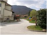
From the parking lot, we walk to the eastern side of the church of sv. Jurij, where we notice the mountain signs for Skala. The path initially leads us along Ceste pod Goro street, which we soon leave at the triangular intersection, as the markings direct us onto a poorer cart track that gently ascends along a large field. When the road turns slightly right, we continue straight along the footpath at the edge of the field. The path soon turns into the forest and after a few dozen steps leads us to a cart track, which we follow to the left.
Initially the gentle cart track makes a right turn, then ascends more steeply and gradually turns into a footpath. In a moderate ascent through the forest, after a few minutes we reach an asphalt road, which we only cross. The path continues to ascend ever more steeply and after some time leads us to a junction where we choose between two options.
We continue slightly right in the direction of the easier path (slightly left is the climbing path to Skala) and then for a few minutes we ascend transversely to the right, then reach a marked junction where a marked path from the starting point at the cemetery in Slovenske Konjice joins from the right.
Here we go left and in a gentle ascent cross the slopes to the left; in the final part of the crossing the slope becomes steeper, and a steel cable helps us. When the secured section ends, we already arrive at the arranged viewpoint on Skala, where there are some benches and a registration box.

Photos:
 1
1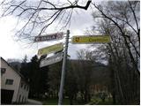 2
2 3
3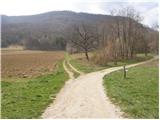 4
4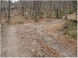 5
5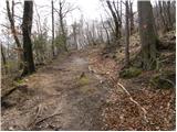 6
6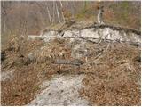 7
7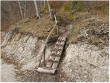 8
8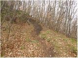 9
9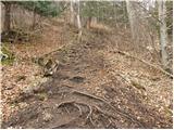 10
10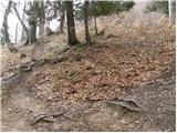 11
11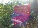 12
12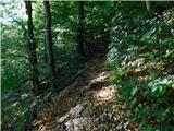 13
13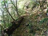 14
14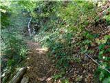 15
15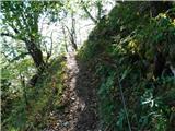 16
16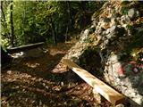 17
17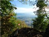 18
18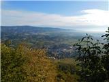 19
19
Discussion about the trip Slovenske Konjice (sv. Jurij) - Skala
To post a comment you must log in:
If you do not yet have a username, you must first
register.