Šmartno - Šmarna gora (Partizanska way)
Starting point: Šmartno (317 m)
| Latitude/Longitude: | 46,12450°N 14,47980°E |
| |
Route name: Partizanska way
Walking time: 45 min
Difficulty: easy marked way
Elevation gain: 352 m
Elevation difference along the route: 352 m
Map: Ljubljana - okolica 1:50.000
Recommended equipment (summer):
Recommended equipment (winter): ice axe, crampons
Views: 49.357
 | 1 person like this post |
Access to starting point:
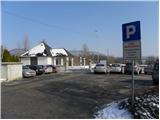
From the Ljubljana–Jesenice highway, take the Šmartno exit, then at the beginning of the Šmartno settlement drive towards the nearby cemetery, by which it is possible to park.
Route description:
From the parking lot by the cemetery, we head onto a one-way road, along which we walk past the church to the next intersection. Here we continue straight across the road (left Tacen, right inn Bizeljčan) to the nearby hiking signpost. Signs for Šmarna gora direct us onto a narrower road that starts to ascend between the houses. After a shorter gentle ascent we arrive at a smaller intersection, where signs for Šmarna gora direct us right onto a gradually quite steep road that at the last house turns into a forest hiking path. Further, we gently ascend through the forest for some time, then arrive at a marked junction, where we continue right in the direction of the Partizanska steza to Šmarna gora (left Šmartinska pot).
The path ahead ascends moderately for a few more minutes, then brings us to the next junction, where we again continue in the direction of the Partizanska steza. From the junction onwards, the path becomes steeper and leads onto much steeper slopes, which are especially dangerous for slipping in snow and ice. Further, we ascend in zigzags up the steep slope; the well-made and maintained path brings us after some time to a bench, from which a nice view towards the valley opens up. Above the bench, the path transitions to a ridge, along which we ascend right below the summit of Šmarna gora. Here the path from the ridge goes onto a slope, over which in a few dozen steps of further walking we ascend to the summit of Šmarna gora.

Photos:
 1
1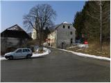 2
2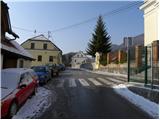 3
3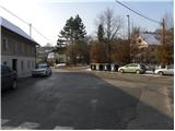 4
4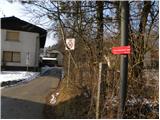 5
5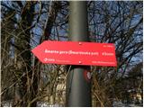 6
6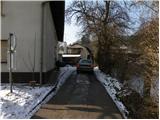 7
7 8
8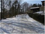 9
9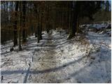 10
10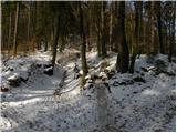 11
11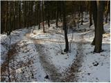 12
12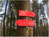 13
13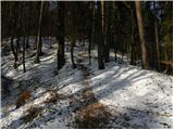 14
14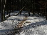 15
15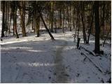 16
16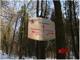 17
17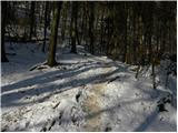 18
18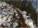 19
19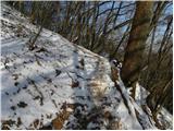 20
20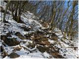 21
21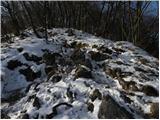 22
22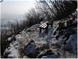 23
23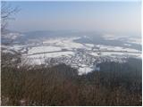 24
24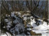 25
25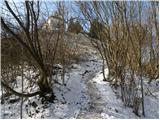 26
26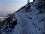 27
27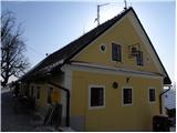 28
28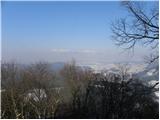 29
29
Discussion about the trip Šmartno - Šmarna gora (Partizanska way)
|
| lukae10. 10. 2020 |
The trail is quite muddy and slippery but very well trodden so it's no problem to follow it. Not for flip-flops or stilettos.
Today it was like this up there:
morning on Šmarna gorahttps://www.photohound.co/spot/smarna-gora-1003949
|
|
|
To post a comment you must log in:
If you do not yet have a username, you must first
register.