Smerovišće - Podjelak (through gorge of Javorački Potok)
Starting point: Smerovišće (257 m)
| Latitude/Longitude: | 45,78490°N 15,64292°E |
| |
Route name: through gorge of Javorački Potok
Walking time: 1 h 35 min
Difficulty: partly demanding marked way, easy unmarked way
Elevation gain: 387 m
Elevation difference along the route: 440 m
Map:
Recommended equipment (summer):
Recommended equipment (winter): ice axe, crampons
Views: 143
 | 1 person like this post |
Access to starting point:
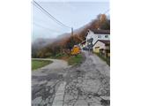
We reach Croatia via the border crossing Brežice / Bregana. We drive along the Bregana-Zagreb motorway to the Samobor exit. In the town, we follow the signs for Rude and Jastrebarsko. When we spot the right turnoff for Smerovišće, we leave the main road and continue to the mentioned place where we park in a suitable spot.
Route description:
Wherever we left the vehicle in Smerovišće, we first walk to the junction where a narrower road branches uphill towards Jaružje, Dragonoš, Šipečki Breg and Cerina.
We head onto the mentioned road, which is quite steep at the start, and the path leads us also past a spring beside a wooden house.
When we reach the first hairpin bend, we leave the asphalt and go left into the forest, where signs also help with orientation. Many hikers park here.
A slight descent follows; over a footbridge, we also cross a shorter landslide slope, and later we arrive at some abandoned weekend houses, where the steep variant from Smerovišće joins.
Walking through the forest follows, and soon we reach the next junction, where we continue straight, while right uphill is the mountain hut Cerinski Vir.
The path ahead descends gently again, and in the forest, the path from Veliki Lipovec joins from the left.
The path further leads along the bed of the Javorački stream, where we gradually reach the most interesting part of the path.
Before us is the Cerinski Vir waterfall, probably the most beautiful waterfall in the Samobor hills. If we go right after the footbridge, we reach under the waterfall itself.
Our path goes left and becomes technically more demanding. It seems there is no path ahead, but we bypass the waterfall via man-made steps, then along a narrower trail that crosses the slopes above the waterfall. This section is secured with a wire rope.
When the wire rope ends, the demanding part is over, and the path runs along the stream slopes for a while longer. Since many hikers only reach the waterfall, the path ahead is less trodden; when we descend to the stream, multiple stream crossings follow.
Along the stream, we ascend gently at first, then steeper and steeper. After the steepest part, we reach a junction, where the path continues right to the mountain hut Sveti Bernard and the summit Lovnik, while we go left towards Šoićeva kuća and Japetić.
Our path now ascends slightly; later, we also go under a smaller crag. When the path levels out, we soon reach the Velike Livade junction.
At this junction, we go left downhill towards Šoićeva Kuća (right to the summit Japetić). We continue about 30 metres further, and on the left side, we notice a track by which we continue.
The path further leads along the Podjelak ridge. This section of the path is unmarked, but occasionally we see unofficial silver blazes on trees, and the path is well trodden.
Ten minutes further, the path narrows, and some steep hairpins follow to the Podjelak summit.
At the summit, there is a meadow and a small bivouac. The view is limited towards the nearby higher hills. To the west, there is a fine view of the Japetić summit; through the forest to the south, we also see the ruins of the old Lipovec castle.

Photos:
 1
1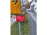 2
2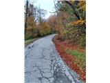 3
3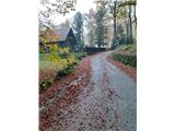 4
4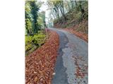 5
5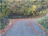 6
6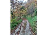 7
7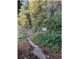 8
8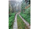 9
9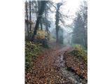 10
10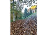 11
11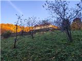 12
12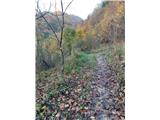 13
13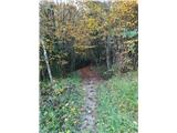 14
14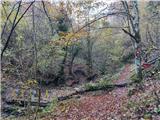 15
15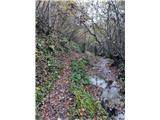 16
16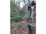 17
17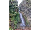 18
18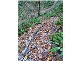 19
19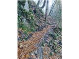 20
20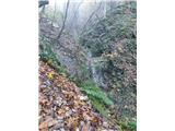 21
21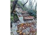 22
22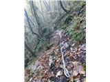 23
23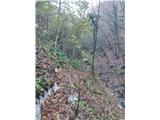 24
24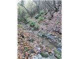 25
25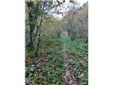 26
26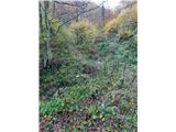 27
27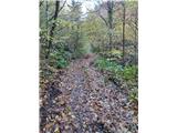 28
28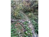 29
29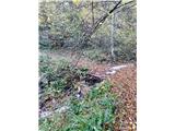 30
30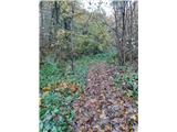 31
31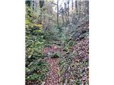 32
32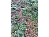 33
33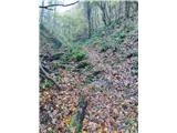 34
34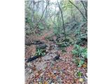 35
35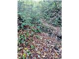 36
36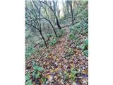 37
37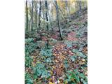 38
38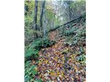 39
39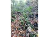 40
40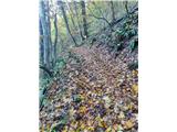 41
41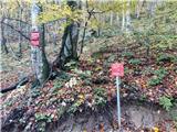 42
42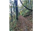 43
43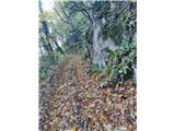 44
44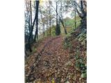 45
45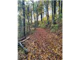 46
46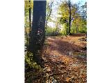 47
47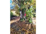 48
48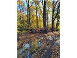 49
49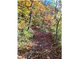 50
50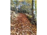 51
51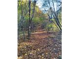 52
52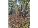 53
53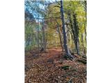 54
54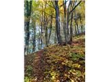 55
55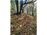 56
56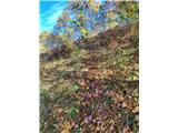 57
57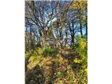 58
58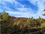 59
59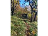 60
60
Discussion about the trip Smerovišće - Podjelak (through gorge of Javorački Potok)
To post a comment you must log in:
If you do not yet have a username, you must first
register.