Starting point: Smrečje (708 m)
| Latitude/Longitude: | 46,01340°N 14,19400°E |
| |
Walking time: 40 min
Difficulty: easy marked way
Elevation gain: 182 m
Elevation difference along the route: 200 m
Map: Škofjeloško in Cerkljansko hribovje 1:50.000
Recommended equipment (summer):
Recommended equipment (winter):
Views: 6.818
 | 1 person like this post |
Access to starting point:
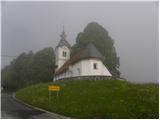
We drive to Smrečje above Vrhnika (to here from Vrhnika through Podlipska dolina or from Horjul over Šentjošt), where we park in an appropriate place near the church. We park in such a way that we do not hinder the bus, which has a bus stop nearby.
Route description:
From the church, we continue on the asphalt road in the direction of Vrh sv. Treh kraljev and Lavrovec. After a few minutes, we arrive at a smaller saddle, where signs for Lavrovec direct us sharply right onto a macadam road, along which we continue a gentle ascent. A little further, the road changes into a cart track, on which we walk only for a short time, because then the blazes direct us left onto a footpath, which further moderately ascends through the forest. After a short ascent, we step out of the forest, where after a few additional steps we step onto the road. When we step onto the road, we notice signs for the stamp - left (the stamp is located in the residential house of the nearby farm), but we continue on the macadam road, which we then follow for a few minutes. Higher up, the blazes direct us right onto a footpath, which then ascends through a belt of dense forest. The path ahead quickly brings us out of the forest, where then over a grassy slope we ascend to a nearby homestead. Behind the homestead, we again step onto a macadam road, which we then follow all the way to the summit of Lavrovec.

Photos:
 1
1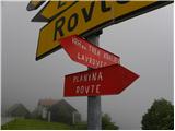 2
2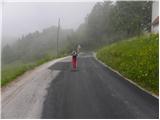 3
3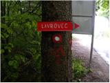 4
4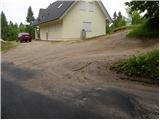 5
5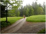 6
6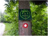 7
7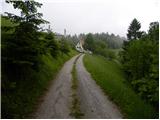 8
8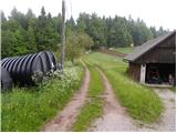 9
9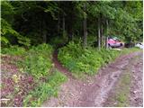 10
10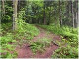 11
11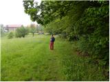 12
12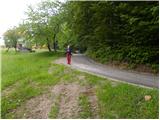 13
13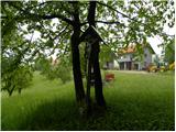 14
14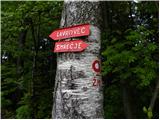 15
15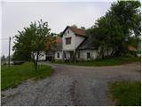 16
16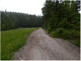 17
17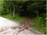 18
18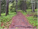 19
19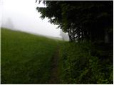 20
20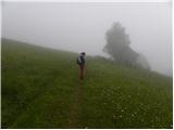 21
21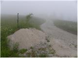 22
22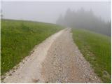 23
23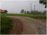 24
24 25
25 26
26
Discussion about the trip Smrečje - Lavrovec
To post a comment you must log in:
If you do not yet have a username, you must first
register.