Starting point: Solarji (952 m)
| Latitude/Longitude: | 46,18030°N 13,66760°E |
| |
Walking time: 1 h 40 min
Difficulty: easy marked way
Elevation gain: 241 m
Elevation difference along the route: 380 m
Map: Julijske Alpe - zahodni del 1:50.000
Recommended equipment (summer):
Recommended equipment (winter):
Views: 7.292
 | 1 person like this post |
Access to starting point:
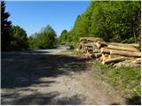
A) From Nova Gorica or from Tolmin we drive towards Bovec. Only a little after the roundabout, where the roads from Nova Gorica and Tolmin join, we get to a crossroad, where the road towards the Solarji pass and Kolovrat branches off to the left. The road then brings us by the edge of Volče, where a signpost for Solarji saddle points us right on the road which after the last houses starts ascending steeper. Further, we drive on an asphalt road which after a few kilometers of ascent brings us on a saddle, where there is also a crossroad of roads. Here we continue on the left lower road, by which we already after a few meters park on a large parking lot (we park the way we don't hinder possible forestry work).
B) From Bovec, we drive towards Tolmin, but we follow the road to the spot, where a road towards Kolovrat branches off to the right (the turn-off is marked and is located only a little before the roundabout, where the road splits towards Nova Gorica and Tolmin). The road then brings us by the edge of Volče, where a signpost for Solarji saddle points us right on the road which after the last houses starts ascending steeper. Further, we drive on an asphalt road which after a few kilometers of ascent brings us on a saddle, where there is also a crossroad of roads. Here we continue on the left lower road, by which we already after a few meters park on a large parking lot (we park the way we don't hinder possible forestry work).
Route description:
From the parking lot, we return to the crossroad, and there at the stop sign, we notice the beginning of the path which leads towards the summit Na gradu. The path immediately starts ascending, and at first it leads us through bushes (in autumn we will here notice ripe fruits of hazel). Further, we quickly ascend to an indistinct summit Platene, from which we descend to the nearby asphalt road. Next follows a short part of the path on the road, and signs for the summit Na gradu quickly point us to the left on the path which ascends through a belt of low forest. The path ahead brings us to an old military path, on which beside the defensive embankment we ascend to grassy slopes of the summit Na gradu. By the edge of the meadow, we ascend to a smaller saddle, and from there we continue left and after 2 minutes of additional walking, we step on a panoramic summit.
From the summit Na gradu we return on the ascent path to the nearby saddle, and then we continue on a nicely beaten path which leads us past an outdoor museum. Here by caverns and renovated trenches we descend to a larger meadow, and then on the other side we start ascending steeper. After a few minutes, the steepness decreases and the path brings us on a wide and rounded ridge Kolovrat, on which with nice views we continue the path. Next follows a few shorter ascents and descents and the path brings us to Trinški vrh, which we recognize by the inscription on the plaque.
From Trinški vrh we continue on a nicely traceable and still panoramic path, which starts descending towards the nearby saddle, where the path also touches the Italian road.
When we step on the road we continue sharply left and after some 10 steps we arrive at bivouac Zanuso.
From the bivouac, we return to the saddle, and then we continue on a steep footpath towards Nagnoj. After a few minutes, the steepness decreases and a relatively even path quickly brings us to the forepeak of Nagnoj (elevation 1176). Next follows a slight descent, and then after a few minutes of moderate ascent on the grassy slope we reach the summit Nagnoj.

Photos:
 1
1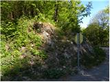 2
2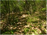 3
3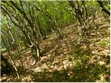 4
4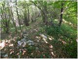 5
5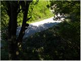 6
6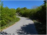 7
7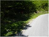 8
8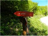 9
9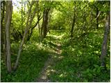 10
10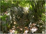 11
11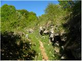 12
12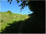 13
13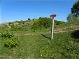 14
14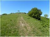 15
15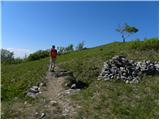 16
16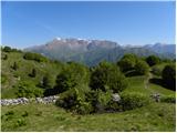 17
17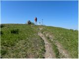 18
18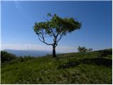 19
19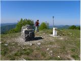 20
20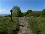 21
21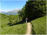 22
22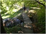 23
23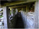 24
24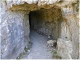 25
25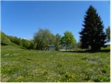 26
26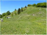 27
27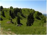 28
28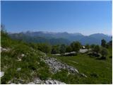 29
29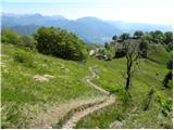 30
30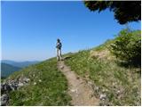 31
31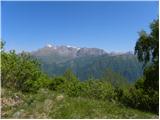 32
32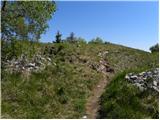 33
33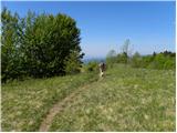 34
34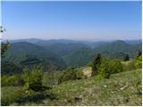 35
35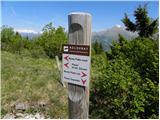 36
36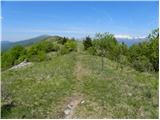 37
37 38
38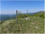 39
39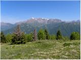 40
40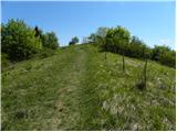 41
41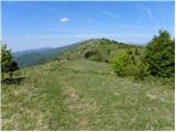 42
42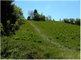 43
43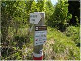 44
44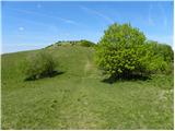 45
45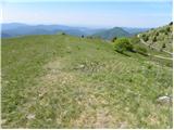 46
46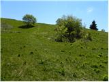 47
47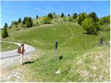 48
48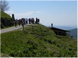 49
49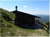 50
50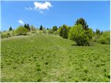 51
51 52
52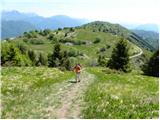 53
53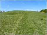 54
54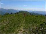 55
55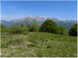 56
56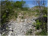 57
57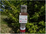 58
58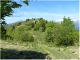 59
59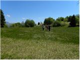 60
60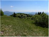 61
61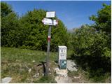 62
62 63
63
Discussion about the trip Solarji - Nagnoj
|
| klavdipo18. 12. 2012 |
Unfortunately the stamp at the top of Nagnoj is destroyed!
|
|
|
|
| ales5020. 12. 2012 |
Yes, nature there is still destroyed from grenades and kerosene, it will take years and years to recover
|
|
|
|
| valerija11225. 02. 2015 |
Hello! Maybe a childish question. There is quite some elevation gain, but it's still the coastal area.
I'm interested if the path via Kolovrat is dry.
Thanks for the comment.
|
|
|
|
| Tolminc25. 02. 2015 |
@valerija112, these are photos from Kolovrat from a week ago. In some places there was only a few centimeters of snow, elsewhere up to the knees. The ridge was mostly bare.
|
|
|
To post a comment you must log in:
If you do not yet have a username, you must first
register.