Soriška peč - Krekova koča na Ratitovcu
Starting point: Soriška peč (1207 m)
| Latitude/Longitude: | 46,23690°N 14,02150°E |
| |
Walking time: 3 h 15 min
Difficulty: easy marked way
Elevation gain: 435 m
Elevation difference along the route: 600 m
Map: TNP 1:50.000
Recommended equipment (summer):
Recommended equipment (winter): ice axe, crampons
Views: 30.949
 | 1 person like this post |
Access to starting point:
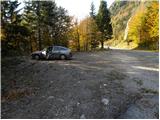
A) From Podrošt or Petrovo Brdo we drive to Sorica, and from there we continue driving towards Soriška planina. When we get to the road sign 6 km, we will notice a little before the cross on the left a cross, and a few meters further, on the right an appropriate place, where we park.
B) We drive to Bohinjska Bistrica, and then we continue driving in the direction of Tolmin and Soriška planina. When we get to the large parking lot by the ski slope Soriška planina, we start descending towards Sorica. After approximately 1 km of descent, we will get to a more distinct right bend, in the middle of which a marked path branches off to the left to Ratitovec, and we park here on an appropriate place by the intersection, on the left side of the main road.
Route description:
From the parking lot, we head towards the speed limit sign, where we notice mountain signposts that direct us right onto a cart track. We continue the ascent on a slightly ascending cart track, which soon brings us to the hunting cottage.
We continue on the cart track, which a little further turns into a forest road, which we follow only for a short time, as it quickly brings us to a junction. We continue in the direction of Ratitovec on the cart track, which higher up changes into a pleasant mountain path. Higher, the path brings us to a wide slightly overgrown ridge, which is part of Danjarska planina. The pleasant path, which runs along gentle meadows, then descends slightly and brings us into the forest. The path, which runs through the forest, turns slightly to the left and after a short ascent brings us out of the forest to the mountain pasture Zgornji Jirn (nearby shepherd hut).
We continue slightly right along the grassy slope surrounded by dense forest. The meadow then ends and the path brings us into the mentioned forest, through which it begins to descend. A somewhat steeper ascent follows, and the path brings us out of the forest onto the western slopes of the expansive Ratitovec. We continue the ascent on a slightly ascending path that runs along a panoramic and wide ridge. Higher up, the path crosses a pasture fence, behind which we will notice along the path some remains of the world war (bunkers, caverns...).
The path then continues with some shorter descents and ascents at the foot of indistinct peaks of Ratitovec (Kremant 1658m, Altemaver 1678m - the highest peak of Ratitovec). From the pleasant path, we then already spot Krekova koča, to which only a slight descent and then an ascent past the winter bivouac to the mentioned hut separates us.

Along the route: Mišji Grund (1266m), Danjarska planina (1400m), Zgornji Jirn (1480m), Kremant (1658m)
Photos:
 1
1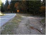 2
2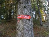 3
3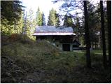 4
4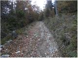 5
5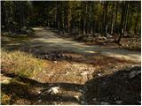 6
6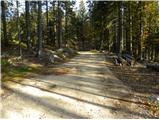 7
7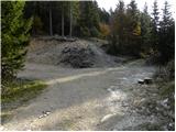 8
8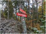 9
9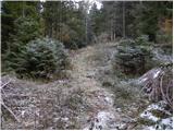 10
10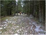 11
11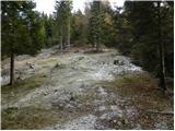 12
12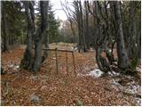 13
13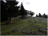 14
14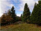 15
15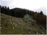 16
16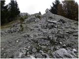 17
17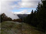 18
18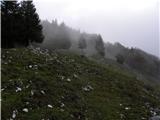 19
19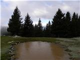 20
20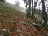 21
21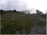 22
22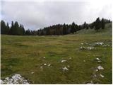 23
23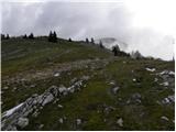 24
24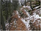 25
25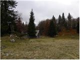 26
26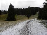 27
27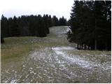 28
28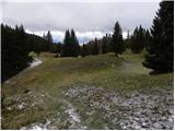 29
29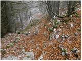 30
30 31
31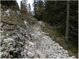 32
32 33
33 34
34 35
35 36
36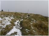 37
37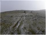 38
38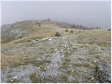 39
39 40
40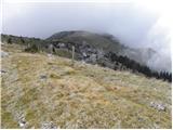 41
41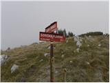 42
42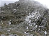 43
43 44
44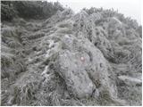 45
45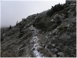 46
46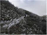 47
47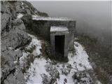 48
48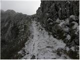 49
49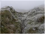 50
50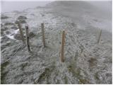 51
51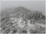 52
52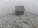 53
53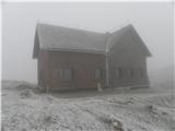 54
54
Discussion about the trip Soriška peč - Krekova koča na Ratitovcu
|
| Jonny_23. 01. 2012 |
Pictures from this trail from 23.1.2012: CLICK
|
|
|
|
| mirank26. 06. 2018 |
Rokovnajčica asks about this description; I can assure her that in summer when everything blooms it is a real walk for everyone. In winter with snowshoes it is also one of the nicer tours in this area, as you spend most of the time on a wavy ridge.
|
|
|
|
| Rokovnjacica27. 06. 2018 |
Thank you Mirank! I need to go to these beautiful places more often. On Monday I was for the first time at Soriška planina. Another idea will come in handy
|
|
|
|
| valerija11227. 06. 2018 |
Lalnar, Možic, Slatnik, Dravh, if there's enough time, also to Kobla. Nice.
|
|
|
|
| mirank27. 06. 2018 |
Add also Šavnik and it is also a beautiful (also as a snowshoe tour in the snow) circular tour mostly on open terrain with views
|
|
|
|
| miratan20. 03. 2019 |
Hello,
tomorrow I plan to go to Ratitovec, starting from Soriška peč. Does anyone know what the snow conditions are like?
|
|
|
|
| ločanka20. 03. 2019 |
I imagine you'll have to break trail
|
|
|
|
| mirank21. 03. 2019 |
Snowshoes and yippee
|
|
|
|
| AlpacaBud17. 06. 2026 12:34:04 |
Hi! I'm wondering if the path is well marked?
|
|
|
To post a comment you must log in:
If you do not yet have a username, you must first
register.