Sošice - Ječmište (čez Pliješ)
Starting point: Sošice (560 m)
| Latitude/Longitude: | 45,75129°N 15,38129°E |
| |
Route name: čez Pliješ
Walking time: 2 h 30 min
Difficulty: easy marked way
Elevation gain: 416 m
Elevation difference along the route: 550 m
Map:
Recommended equipment (summer):
Recommended equipment (winter): crampons
Views: 122
 | 1 person like this post |
Access to starting point:
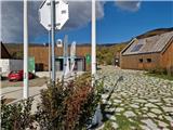
a) Drive to Metlika and further to Radovica. Cross the small border crossing Kašt into Croatia. A narrow road leads us through smaller settlements into the forest, where we follow the signs for Sošice. When we arrive in Sošice, park at one of the parking areas near the visitor center.
b) Leave the Rijeka - Zagreb motorway at the Jastrebarsko exit and when we reach the roundabout before the town, take the first exit towards Zagreb and Karlovac. Drive all the way to the village of Čeglj, where we turn right towards Bregano. Head onto this road and drive to Krašić and further past the famous church Grkokatolička Crkva Blagovijesti all the way to Strmac Pribićki, where we continue on the main road. A long, ascending and winding road leads us through forests and several hamlets. When we arrive in Sošice, park at one of the parking areas near the visitor center.
Route description:
From the starting point, head forward along the ascending road. After about 5 minutes, reach a junction and turn left. The road to the right leads to Hartje and Samobor. At the junction there is a small chapel and some signs. The road ahead loses its asphalt and becomes gravel. When the settlement ends, a sign soon directs us right onto the trail. Initially a cart track, it quickly becomes a wider path leading through dense spruce forest. The path steeply ascends to a small clearing, where it turns slightly left and levels out. Higher up, the path crosses a cart track and ascends again through spruce forest. Then the path traverses the slope for some time before turning into a gully, which we later leave. The path turns left and steeply climbs to a road, which we follow to the right. Walk along the road for a few minutes, then markers direct us left onto a path that cuts the road bend; when we rejoin it, we already see the hut. Just a few more steps along the road past a water spring and across a small meadow to it.
From the hut, continue along the path, soon entering a steeply ascending gully. The gully leads along the left side of a larger ravine, which we cross higher up. Then the gully becomes sandy and turns left. After a longer steep ascent, the gully turns into a path. Soon we emerge from the forest onto the grassy slopes of Pliješ, where the path via Sopotske planine joins from the right, or the path to Ječmište continues. One more minute of ascent across the meadow to the summit. From the summit, due to the nearby forest, there is not much view. There is also a junction at the top. From the west, a longer path from Planinska koča Vodice joins us, and to the north it continues towards Sveta Gera or Trdinov vrh.
Return to the last junction and continue towards Ječmište. The path then enters the forest. After about 15 minutes of descent through forest and across a meadow, we reach a road, which we simply cross. Right leads to Planinska koča Vodice and left towards Slovenia. The path leads past an information board and across Sopotske planine, then returns to the forest. The path continues descending along a small valley to a marked junction, where we continue left. Slightly right leads to Sopote. The path soon leaves the forest and we cross an indistinct grassy ridge with much low shrubbery. Through a belt of forest, we reach the southwestern grassy slopes of the nearby peak 917. Beautiful views towards the south open from the path. The path traverses below the mentioned peak for a while and begins descending again. After about 10 minutes of descent, the path enters the forest and soon reaches a junction, where we continue left onto a steep path. Right: Kekić draga, Stari grad Žumberački and Novi grad, path above the water on the western slope of Ječmište leads us through dense forest. The path is occasionally less visible and overgrown, but markers are frequent enough. In the upper part, the path levels out and after about 20 minutes of ascent, we reach the grassy summit of Ječmište, where the logbook is on the right side.
Description and photos refer to the condition in October 2025.

Photos:
 1
1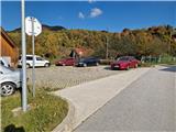 2
2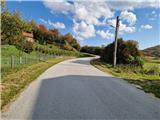 3
3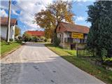 4
4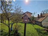 5
5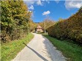 6
6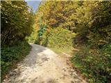 7
7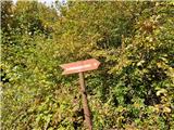 8
8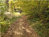 9
9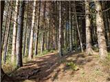 10
10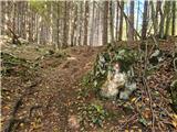 11
11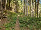 12
12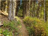 13
13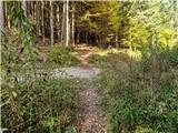 14
14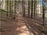 15
15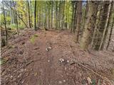 16
16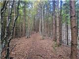 17
17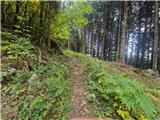 18
18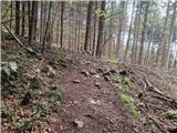 19
19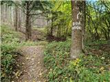 20
20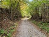 21
21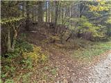 22
22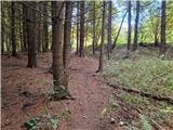 23
23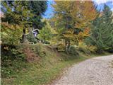 24
24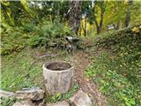 25
25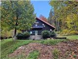 26
26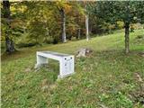 27
27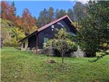 28
28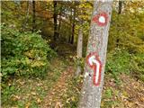 29
29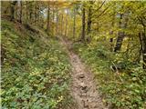 30
30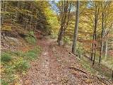 31
31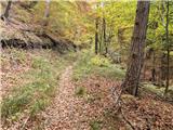 32
32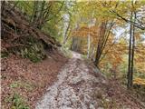 33
33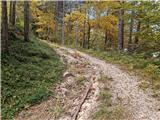 34
34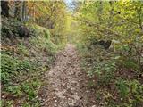 35
35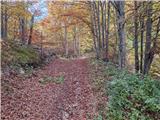 36
36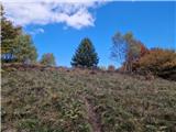 37
37 38
38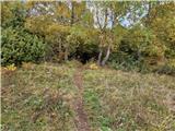 39
39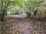 40
40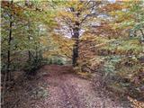 41
41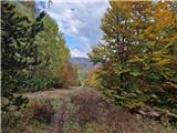 42
42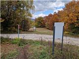 43
43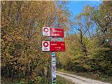 44
44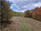 45
45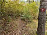 46
46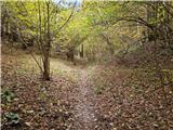 47
47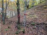 48
48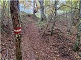 49
49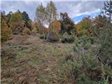 50
50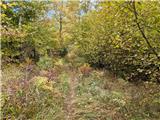 51
51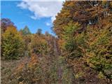 52
52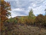 53
53 54
54 55
55 56
56 57
57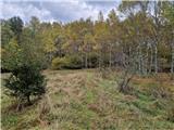 58
58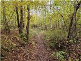 59
59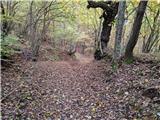 60
60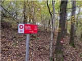 61
61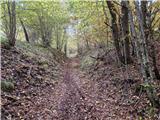 62
62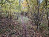 63
63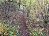 64
64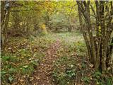 65
65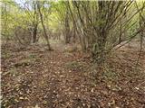 66
66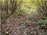 67
67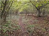 68
68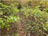 69
69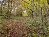 70
70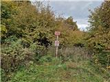 71
71 72
72
Discussion about the trip Sošice - Ječmište (čez Pliješ)
To post a comment you must log in:
If you do not yet have a username, you must first
register.