Soteska Bednje - Vražji Stolček (daljša pot)
Starting point: Soteska Bednje (205 m)
| Latitude/Longitude: | 46,22187°N 16,20687°E |
| |
Route name: daljša pot
Walking time: 35 min
Difficulty: partly demanding unmarked way
Elevation gain: 75 m
Elevation difference along the route: 145 m
Map:
Recommended equipment (summer):
Recommended equipment (winter):
Views: 399
 | 1 person like this post |
Access to starting point:
a) We arrive in Croatia via the Macelj-Gruškovje pass. We drive towards Ivanec, Varaždin.
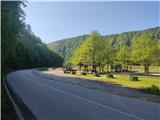
Behind the settlement Ivanci we reach Ivanečko Naselje. At the intersection by the Blacky inn we turn right (the intersection is not well marked). The road takes us to the village Ivanečki Vrhovec, then Salinovec. We continue and after the bridge over Bednja we arrive in Soteska Bednje. We park the vehicle at the parking lot by the rest area where there is a shelter.
b) From Prekmurje direction we drive to Varaždin and from there to Ivanec settlement. In Ivanečko Naselje we turn left over the railway line. Then follow description a.
Route description:
From the rest area we go northwards across the road uphill to the hunting hut. Before the hut turn right steeply uphill on the forest path. One minute on we reach a junction, continue straight or slightly left. A steeper ascent follows to a poorly visible junction where a steep path goes right, continue straight.
A few minutes on the gradient eases and we reach the next junction where the forest thins. Turn right, pass through scrub, path steepens again to Gradišče summit with ruins of former fortification.
Continue to secured section, slight descent.
Continue using rope, very slippery when wet. At end of protections notice Vražji Stolček rock.
Approach to rock technically demanding, use hands.
Beautiful view from rock to surrounding hills and Bednje gorge below.
Photos:
 1
1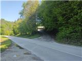 2
2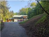 3
3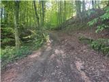 4
4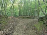 5
5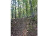 6
6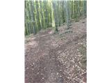 7
7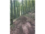 8
8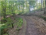 9
9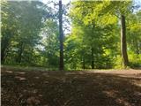 10
10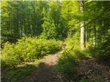 11
11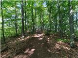 12
12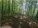 13
13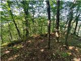 14
14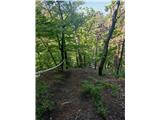 15
15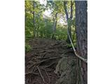 16
16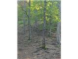 17
17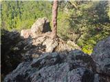 18
18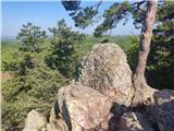 19
19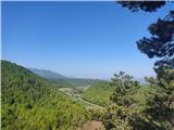 20
20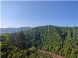 21
21
Discussion about the trip Soteska Bednje - Vražji Stolček (daljša pot)
To post a comment you must log in:
If you do not yet have a username, you must first
register.