Soteska Bednje - Vražji Stolček (steep path)
Starting point: Soteska Bednje (205 m)
| Latitude/Longitude: | 46,22187°N 16,20687°E |
| |
Route name: steep path
Walking time: 20 min
Difficulty: partly demanding unmarked way
Elevation gain: 75 m
Elevation difference along the route: 75 m
Map:
Recommended equipment (summer):
Recommended equipment (winter): ice axe, crampons
Views: 388
 | 1 person like this post |
Access to starting point:
a) We enter Croatia via Macelj-Gruškovje pass. Drive towards Ivanec, Varaždin.
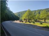
Behind settlement Ivanci we arrive at town Ivanečko Naselje. Here we turn right at intersection by Blacky inn (intersection not well marked). Road ahead leads to village Ivanečki Vrhovec, then Salinovec. Continue and after bridge over Bednja arrive at Soteska Bednje. Park vehicle at lot by rest area with shelter.
b) From Prekmurje direction drive to Varaždin then to Ivanec settlement. At Ivanečko Naselje turn left over railway. Follow a.
Route description:
From rest area go north across road uphill to hunting hut. Before hut turn right steeply uphill on forest path. Minute later reach junction, continue straight/slightly left. Steeper ascent follows to poorly visible junction, green markers on tree help with orientation. Continue on forest trail shifting from north to west slopes. Path less steep but technically harder, forest mixed.
Further path steepens again, secured by rope here.
Do not follow secured part, go slightly down, spot Vražji Stolček rock. Approach technically demanding, use hands.
From rock nice view of surrounding hills and Bednja gorge below.
Photos:
 1
1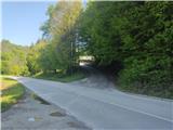 2
2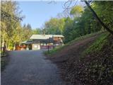 3
3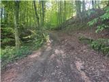 4
4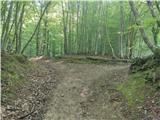 5
5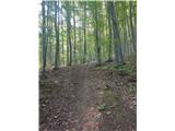 6
6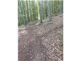 7
7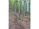 8
8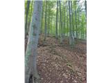 9
9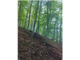 10
10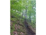 11
11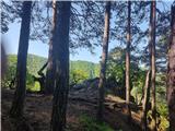 12
12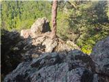 13
13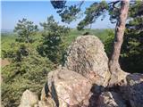 14
14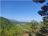 15
15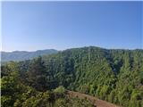 16
16
Discussion about the trip Soteska Bednje - Vražji Stolček (steep path)
To post a comment you must log in:
If you do not yet have a username, you must first
register.