Sotina - Sotinski breg (Kugla) (via Patrov Breg)
Starting point: Sotina (247 m)
| Latitude/Longitude: | 46,82439°N 16,03726°E |
| |
Route name: via Patrov Breg
Walking time: 30 min
Difficulty: easy unmarked way
Elevation gain: 171 m
Elevation difference along the route: 171 m
Map: Pomurje 1:40.000
Recommended equipment (summer):
Recommended equipment (winter):
Views: 983
 | 1 person like this post |
Access to starting point:
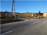
A) We drive to Gederovci (to here from Radenci or Murska Sobota) and continue driving in the direction of Kuzma. When we get to the settlement Sotina we pay attention, because we park at an appropriate place near the fire station Sotina.
B) We drive to Kuzma (to here from the settlement Grad, Mačkovci or Petrovci), and then we continue driving towards Sotina and Austria. When Kuzma ends, there follows some ascent, then a descent, where from the crossroad with the priority road we continue left. Further on, we quickly get to Sotina, and through the settlement we continue to the village fire station Sotina, where we park at an appropriate place by the main road.
Route description:
From the fire station we continue along the main road towards the northeast (direction Austria and Kuzma), after good 50 meters we go left on a side road in the direction of a car service. At first we walk on a gently sloping road which leads us towards the northwest, and it soon starts moderately ascending and leads us through the hamlet Patrov Breg. Above the hamlet, the road passes into the forest, and gradually brings us also to a smaller stream, where the asphalt road turns left, and we go straight on a smaller meadow, where we join the marked path.
We continue straight and ascend through a belt of forest, when we leave the forest we quickly reach an asphalt road, which we follow to the right. There follows a few minutes of panoramic ascent and we arrive at a private land fenced with skis. Here the path turns left and easily continues to the lookout tower a few minutes away on the highest summit of Prekmurje.
Description and pictures refer to the condition in February 2021.

Along the route: Patrov Breg (290m)
Photos:
 1
1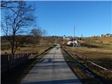 2
2 3
3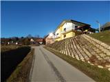 4
4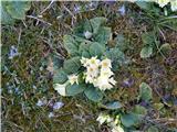 5
5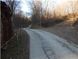 6
6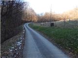 7
7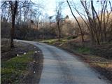 8
8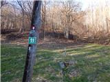 9
9 10
10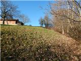 11
11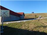 12
12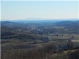 13
13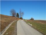 14
14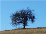 15
15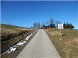 16
16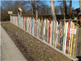 17
17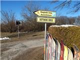 18
18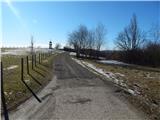 19
19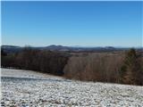 20
20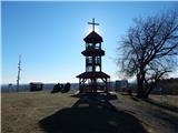 21
21 22
22
Discussion about the trip Sotina - Sotinski breg (Kugla) (via Patrov Breg)
To post a comment you must log in:
If you do not yet have a username, you must first
register.