Sotočje Male in Velike Božne - Sveti Lenart
Starting point: Sotočje Male in Velike Božne (406 m)
| Latitude/Longitude: | 46,07970°N 14,29930°E |
| |
Walking time: 1 h 45 min
Difficulty: partly demanding marked way
Elevation gain: 455 m
Elevation difference along the route: 500 m
Map: Ljubljana - okolica 1:50.000
Recommended equipment (summer):
Recommended equipment (winter):
Views: 9.224
 | 2 people like this post |
Access to starting point:
From Horjul or Dobrova we drive to Polhov Gradec, and then we continue driving towards Črni Vrh. A little above Polhov Gradec, at the crossroad at the confluence of Mala and Velika Božna, we continue left and then immediately after the bridge we park on the parking lot by the road.
Route description:
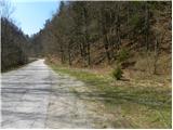
Only a few meters away from the starting point, we notice hiking signposts, which point us to the right on a footpath which starts steeply ascending through the forest. After the steep initial part, the path temporarily flattens a little and then turns a little to the left, where it gradually transitions to very steep and especially when wet dangerous for slipping slopes. The path ahead first in a moderate ascent crosses the mentioned slopes, and then it too stands upright. Next follows a steep ascent through a pine thicket, on the path which higher up runs on and along the occasionally exposed ridge. Higher, the steepness eases, and the path gradually transitions to a cart track, on which we soon step out of the forest onto panoramic grassy slopes, from which a nice view opens up on the nearby Polhograjska Gora. The cart track higher changes into a macadam road, which quickly brings us to the last houses in the village, where we also step onto asphalt. We continue the ascent on a panoramic and initially still slightly ascending road, and then it drapes over to the other side of the hill, where it starts to descend more steeply.
After a few minutes of descent we get to the next hamlet and only a few meters further to a crossroad, where we join the main road connection between Polhov Gradec and Črni Vrh.
We continue slightly right in the direction of Črni Vrh and continue the ascent on a slightly ascending road which over panoramic slopes brings us into the belt of forest. When we again step out of the forest, in front of us we already notice the church of St. Lenart, which we had recently seen from quite far away.
We still continue on the road, and it past the primary school quickly brings us to the fire station on Črni Vrh, where there is a stamping box with a stamp. Here we continue left and after 5 minutes of additional walking we arrive at the church of St. Lenart, which is situated on a panoramic elevation.

Photos:
 1
1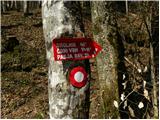 2
2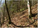 3
3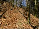 4
4 5
5 6
6 7
7 8
8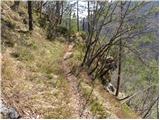 9
9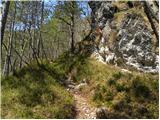 10
10 11
11 12
12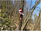 13
13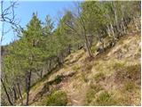 14
14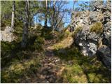 15
15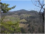 16
16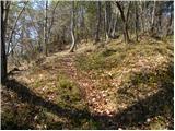 17
17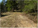 18
18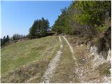 19
19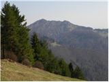 20
20 21
21 22
22 23
23 24
24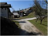 25
25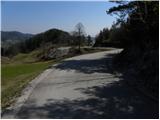 26
26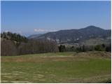 27
27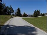 28
28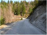 29
29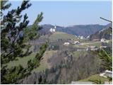 30
30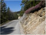 31
31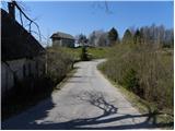 32
32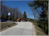 33
33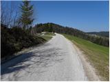 34
34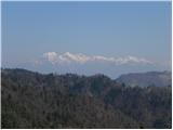 35
35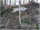 36
36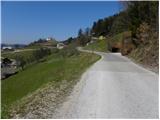 37
37 38
38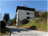 39
39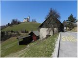 40
40 41
41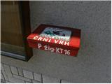 42
42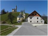 43
43 44
44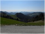 45
45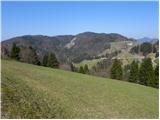 46
46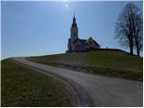 47
47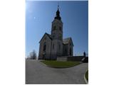 48
48
Discussion about the trip Sotočje Male in Velike Božne - Sveti Lenart
To post a comment you must log in:
If you do not yet have a username, you must first
register.