Izvir Ljubljanice (Močilnik) - Source of Ljubljanica (Retovje)
Starting point: Izvir Ljubljanice (Močilnik) (305 m)
| Latitude/Longitude: | 45,95530°N 14,29290°E |
| |
Walking time: 20 min
Difficulty: easy marked way
Elevation gain: 3 m
Elevation difference along the route: 10 m
Map:
Recommended equipment (summer):
Recommended equipment (winter):
Views: 15.665
 | 1 person like this post |
Access to starting point:
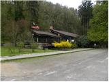
From the highway Ljubljana - Koper we take the Vrhnika exit, then continue driving on the old road towards Logatec. When the road starts ascending and turning a little to the right, we will notice signs for the source of the Ljubljanica, which direct us to the left onto the road, along which in a few hundred meters we arrive at the parking lot at the source of Veliki Močilnik.
Route description:
From Močilnik we continue on a macadam road which continues along the edge of the forest and a little later along Mala Ljubljanica. After a few minutes, we arrive at a smaller crossroad, where the blazes direct us to the right into the village Mirke. We continue through the village, and there at the crossroad we turn left and continue on a narrow asphalt road. At the last house, the road ends, and we continue on a wide tourist path, which quickly brings us to the bridge over Velika Ljubljanica. Before the bridge, a path branches off to the right to the source Veliko Okence, after the bridge to Malo Okence. Both paths are unmarked and slightly exposed. If we continue after the bridge on a wide walking path, we soon get to the source Pod skalo.
Along the route: Mirke (298m)
Photos:
 1
1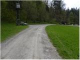 2
2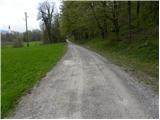 3
3 4
4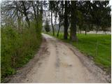 5
5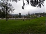 6
6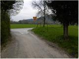 7
7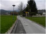 8
8 9
9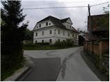 10
10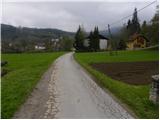 11
11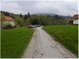 12
12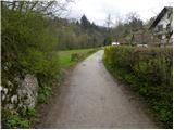 13
13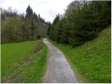 14
14 15
15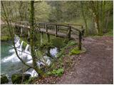 16
16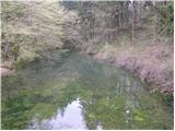 17
17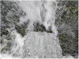 18
18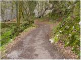 19
19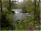 20
20
Discussion about the trip Izvir Ljubljanice (Močilnik) - Source of Ljubljanica (Retovje)
To post a comment you must log in:
If you do not yet have a username, you must first
register.