Spodnja Idrija - Cerkovni vrh
Starting point: Spodnja Idrija (305 m)
| Latitude/Longitude: | 46,03200°N 14,02640°E |
| |
Walking time: 1 h 15 min
Difficulty: easy unmarked way
Elevation gain: 499 m
Elevation difference along the route: 500 m
Map: Idrijsko in Cerkljansko 1: 50.000
Recommended equipment (summer):
Recommended equipment (winter):
Views: 6.318
 | 1 person like this post |
Access to starting point:
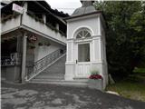
From Ljubljana, we drive towards Idrija. When we arrive in Idrija at the second traffic-light intersection, we turn right towards Spodnja Idrija (4 km). Immediately when we arrive in Spodnja Idrija, on the left side we notice a chapel and stairs which lead to the church. Here we park or about fifty meters ahead along the main road; at the store we turn right onto the parking lot at the culture house.
Route description:
From the chapel we go up the stairs to the church of Marija na Skalci, whose current form is from the year 1674, and the first mentions date back to the 12th century. At the church, we turn left past the chapel of rest towards the end of the cemetery, where we come to the Šolska grapa gully. We head right, where we come to a hay meadow where there used to be the Na Brd homestead, burned during World War II. We ascend along the spruce plantation towards the ridge. We follow the path along the ridge, always walking left above the Šolska grapa gully. Somewhere after 20 minutes of walking we come to a saddle where the path splits. We turn left, still above the Šolska grapa gully (the right path goes to Vranji greben). In front of us are steep ascents and descents into smaller gullies which we cross; after a few meters descent to a larger gully, from which the path turns left and soon we are on the ridge, where we turn right. Along the panoramic ridge we continue steeply uphill, with some steep sections in between (beware of slipping when wet!) and then we come to a saddle. A marking on a tree directs us left towards the summit. Only a 5-minute rocky steep ascent follows and the summit is here.

Photos:
 1
1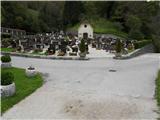 2
2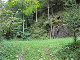 3
3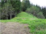 4
4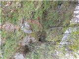 5
5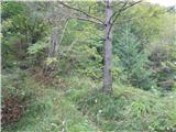 6
6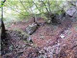 7
7 8
8 9
9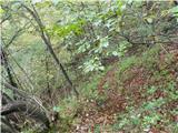 10
10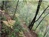 11
11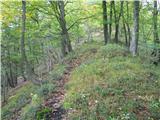 12
12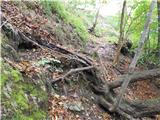 13
13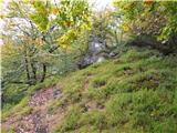 14
14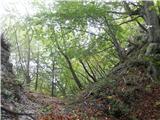 15
15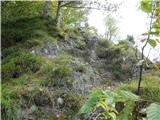 16
16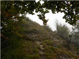 17
17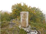 18
18 19
19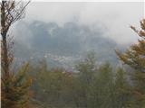 20
20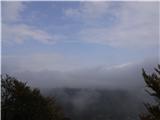 21
21
Discussion about the trip Spodnja Idrija - Cerkovni vrh
To post a comment you must log in:
If you do not yet have a username, you must first
register.