Spodnja Kokra - Škrbina (Slaparjeva gora) (via farm Zajc)
Starting point: Spodnja Kokra (530 m)
| Latitude/Longitude: | 46,30359°N 14,47790°E |
| |
Route name: via farm Zajc
Walking time: 1 h 40 min
Difficulty: easy unmarked way
Elevation gain: 612 m
Elevation difference along the route: 612 m
Map:
Recommended equipment (summer):
Recommended equipment (winter):
Views: 2.840
 | 2 people like this post |
Access to starting point:
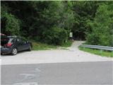
From the highway Ljubljana - Jesenice, take the exit Kranj - East and follow the road ahead in the direction of Jezersko. Only a few kilometers after the turn-off for Preddvor, we will notice a transformer on the right side of the road and next to it a parking lot, but we drive a few hundred meters further, where we park directly by the Čemšeniški Stream.
Route description:
From the parking lot, first along the road we carefully bypass the stream (concrete bridge) and right after it we look for a footpath that takes us steeply into the forest and ascends all the time along the stream. Already after 5 minutes of moderate ascent we encounter stairs, which bring us to an initially macadam, slightly later asphalted road. This after 20 minutes of walking brings us to the turn-off for the Dom Čemšenik hut. There we cross the stream and continue to follow the main road, which we follow for another less than half an hour all the way to the Zajc farm. There we ascend over the pasture past two weekend cottages and immediately after them we follow the cart track left into the forest. We follow the cart track, which has a few forks, all the way until, already noticeably close to the summit ridge, the poorly maintained cart track leads us to the right. After 5 minutes we reach the ridge, actually a saddle, because the left path leads towards Slaparjeva gora, and we look for a footpath which in a few minutes brings us to the lower forepeak of Škrbina, from where we can already enjoy striking views on the Kamniške Alpe. From there we have to make an effort for another 5 minutes on a poorly visible but not very exposed ridge footpath among dwarf pines and rocks to the actual peak of Škrbina.

Photos:
 1
1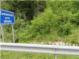 2
2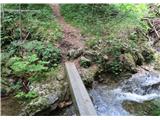 3
3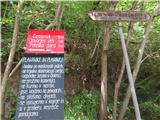 4
4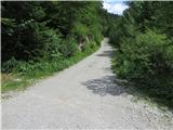 5
5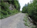 6
6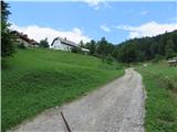 7
7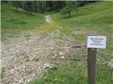 8
8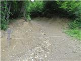 9
9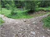 10
10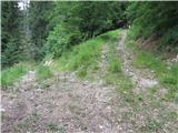 11
11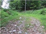 12
12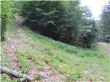 13
13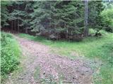 14
14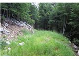 15
15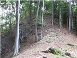 16
16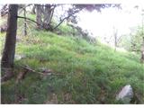 17
17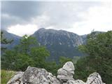 18
18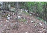 19
19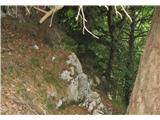 20
20 21
21
Discussion about the trip Spodnja Kokra - Škrbina (Slaparjeva gora) (via farm Zajc)
|
| ppegan20. 10. 2020 |
Picture 14 - here we don't go left, as it's a dead end. Here go another 10-20 m straight, then left at the next junction (opposite is a wooden bench or hut). You'll quickly realize the path isn't right, but why bother if not needed 
|
|
|
To post a comment you must log in:
If you do not yet have a username, you must first
register.