Šport hotel - Brda (east path)
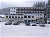
Starting point: Šport hotel (1280 m)
| Latitude/Longitude: | 46,33820°N 13,96160°E |
| |
Route name: east path
Walking time: 3 h 15 min
Difficulty: easy marked way
Elevation gain: 728 m
Elevation difference along the route: 728 m
Map: TNP 1:50.000
Recommended equipment (summer):
Recommended equipment (winter): ice axe, crampons
Views: 7.567
 | 1 person like this post |
Access to starting point:
From the highway Ljubljana - Jesenice, we take the Lesce exit and follow the road in the direction of Bled, where at the traffic-light crossroads signs for Pokljuka direct us to the right. This road, which in the lower part runs through some villages and later starts to ascend more steeply, we follow to the Šport hotel on Pokljuka. We park at an appropriate place by the road or near the hotel. Parking in front of the hotel is only for guests.
Route description:
From the Šport hotel, we return along the road to the crossroads with the main road, then continue the ascent in the direction of Rudno polje. After approximately 100 m of walking along the main road, a forest road branches off to the right, which quickly leads us into the spruce forest. The mentioned road, which gently ascends and along which we notice some blazes, we follow all the way to its end at a larger turning area. At the end of the road, we notice a wide marked cart track, along which we continue the path in a moderate ascent. The cart track flattens after a shorter ascent, then gradually starts to descend. After a few minutes of descent, we step out of the forest onto the expansive mountain pasture Planina Zajavornik.
When we step onto the mountain pasture, the path still gently descends for some time, then brings us to the heart of the mountain pasture, where we notice numerous shepherd (weekend) huts. The path ahead crosses a short stretch of forest, after which we step onto a macadam road (possible starting point).
We only cross the mentioned road, as signs for Blejska koča direct us onto a wide and initially still gentle path. The path continues through initially sparse, then increasingly dense forest. Higher up, we cross a forest road, and the path gradually becomes steeper. Soon we join the path from the monument (Pri Rupah), then a little further we join a wide cart track (starting point Medvedova konta). We continue the ascent along the cart track, which quickly brings us to the lower part of the mountain pasture Lipanca. Here we notice a sign that we are entering the grazing area, which warns us not to walk shortcuts. We continue along the wide path, which past the memorial plaque brings us to the mountain hut Blejska koča na Lipanci in a few minutes.
From the mountain pasture, we continue right on an initially poorly visible and poorly marked path, which after a short ascent brings us to the upper edge of the mountain pasture, where there is also a smaller junction. We continue slightly left in the direction of "Lipanski vrh, Brda and Debela peč" along the path that bypasses a larger sinkhole on the right side. A little further, a path towards Lipanski vrh branches off from the "main" path.
We continue slightly right in the direction of Debela peč along the path that gradually starts to ascend more and more steeply. When we pass this somewhat steeper section of the path, we reach the next junction, where we continue straight in the direction of Debela peč (left Lipanska vrata and Brda). We continue along the gentle path, from which after just a few more steps a path to the mountain pasture Klek branches off to the right. The well-marked path then bypasses the interesting peak Spodnja Brda (1844m) on the left side and thereafter starts to ascend more steeply on ever less vegetated slopes. When we reach the broad ridge, the steepness eases, and the path brings us to a less noticeable junction, where we continue left in the direction of the peak Brda (right Okroglež and Debela peč). The path then ascends more steeply and brings us to the summit after 10 minutes of walking among the dwarf pines.

Photos:
 1
1 2
2 3
3 4
4 5
5 6
6 7
7 8
8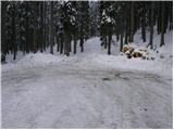 9
9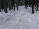 10
10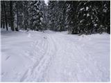 11
11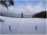 12
12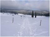 13
13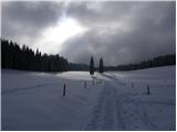 14
14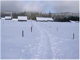 15
15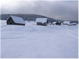 16
16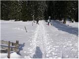 17
17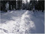 18
18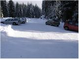 19
19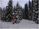 20
20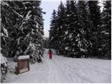 21
21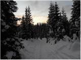 22
22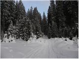 23
23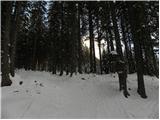 24
24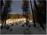 25
25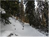 26
26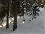 27
27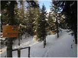 28
28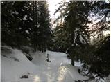 29
29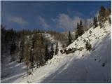 30
30 31
31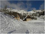 32
32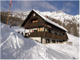 33
33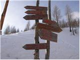 34
34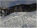 35
35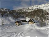 36
36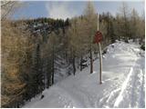 37
37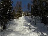 38
38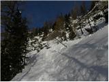 39
39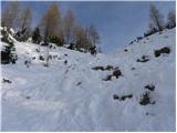 40
40 41
41 42
42 43
43 44
44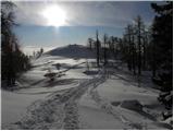 45
45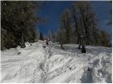 46
46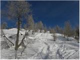 47
47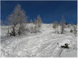 48
48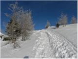 49
49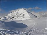 50
50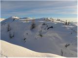 51
51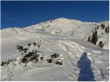 52
52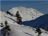 53
53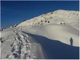 54
54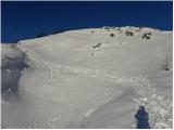 55
55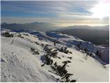 56
56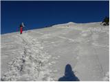 57
57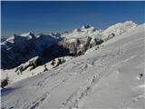 58
58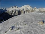 59
59 60
60
Discussion about the trip Šport hotel - Brda (east path)
To post a comment you must log in:
If you do not yet have a username, you must first
register.