Srednja Kanomlja - Hudournik
Starting point: Srednja Kanomlja (365 m)
| Latitude/Longitude: | 46,02450°N 13,96360°E |
| |
Walking time: 3 h 45 min
Difficulty: easy marked way
Elevation gain: 783 m
Elevation difference along the route: 950 m
Map: Škofjeloško in Cerkljansko hribovje 1:50.000
Recommended equipment (summer):
Recommended equipment (winter):
Views: 4.334
 | 1 person like this post |
Access to starting point:
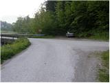
From Logatec we drive towards Tolmin or vice versa. In the settlement Spodnja Idrija we continue left or right, if we come from Tolmin direction, and we continue driving in the direction of Srednja Kanomlja. At the road sign approx. 16.5 km, the road branches off to the left towards klavže (water barriers) (turn-off is marked). We go on the mentioned road which leads us over a small bridge. We park right behind the bridge, on an appropriate place by the road.
Route description:
At the bridge over the river Kanomljica we notice mountain signposts for Vojsko, which point us on the road which is insignificantly ascending parallel with the mentioned river. The road soon brings us to Dom ribičev and only a few 10 meters further to a smaller crossroad, where we continue on the right lower road (direction Vojsko). Ahead over the bridge we cross a strong karst spring, and then the road starts ascending steeper. After approximately 20 minutes of walking, we come to the next crossroad, where a road branches off to the left towards klavže, and we continue right and follow the road to the next homestead. Only a few meters before the house, signs for Vojsko point us to the left on a grassy cart track, and it ascends diagonally on a panoramic grassy slope. Higher, the cart track for a short time vanishes, and we notice a blaze on the tree, which points us slightly to the right to the edge of the forest. The path which ahead runs on an old cart track, crosses a somewhat bigger strip of forest and then brings us on a grassy ridge, over which we get to NOB monument and only a few meters ahead to a local farm.
Behind the residential house, blazes lead left into the forest, where we then ascend on a moderately steep cart track. Further, we ascend for some time through dense forest and then through nettles we reach the farm Šturmovec, where we again step on the forest road.
We continue on the road which first slightly descends over an extensive hayfield, and then passes into the forest, where it moderately ascends. The road higher brings us to a crossroad, where we continue right, and we follow it only a few 10 meters, to the spot where we notice a green ramp. Right in front of the ramp, on the right side we notice a marked cart track, on which we continue the ascent. The cart track quickly changes into a footpath, and it for a short time steeply ascends on an indistinct ridge. Higher, the path withdraws from the ridge to the left and then continues in a traversing ascent to the left. After a few minutes of traversing we get to a quite eroded gully, where the path splits into three parts. We go on a trail which most directly ascends above the gully. After the gully we cross a pasture fence and the path brings us out of the forest on the edge of Vojskarska planota.
We continue on a marked path, and it quickly brings us to houses and consequently to an asphalt road. We continue the path on at first quite level road which past the ski slope Vojsko brings us to Dom Vojsko (Center for school and after-school activities).
From Dom Vojsko we continue on the road which on the right side bypasses the church of St. Jožef and after a few 10 steps of further walking brings us to the inn with lodgings Pri Medvedovih. Behind the mentioned inn we notice signs for tiskarna Slovenija, which point us on a slightly descending and at first still fully asphalted road. The road which with some shorter ascents and descents continues on Vojskarska planota, we follow in the direction of partisan tiskarna Slovenija, then, when the road towards the mentioned tiskarna turns sharply right, we continue in the direction of Hudournik and partisan cemetery or burial ground. The road which still continues on Vojskarska planota, after some time brings us to a well-maintained partisan cemetery or burial ground. We continue further on the road, and past the last houses we follow it to the spot, where signs for Hudournik point us slightly right on a level cart track. The cart track first crosses a strip of forest and then brings us on a larger meadow, where it changes into a pleasant footpath. We continue on the mentioned path, which in a few minutes of further walking across panoramic grassy slope brings us on panoramic and spacious Hudournik.

Photos:
 1
1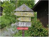 2
2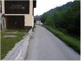 3
3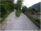 4
4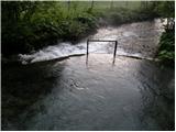 5
5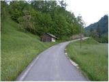 6
6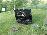 7
7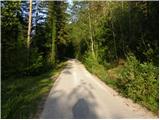 8
8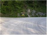 9
9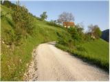 10
10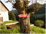 11
11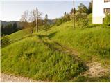 12
12 13
13 14
14 15
15 16
16 17
17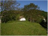 18
18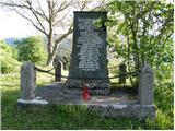 19
19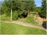 20
20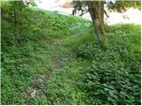 21
21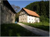 22
22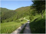 23
23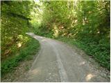 24
24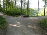 25
25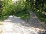 26
26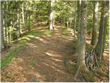 27
27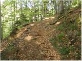 28
28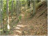 29
29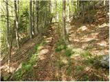 30
30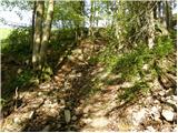 31
31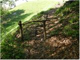 32
32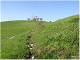 33
33 34
34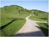 35
35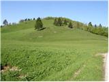 36
36 37
37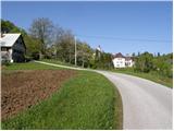 38
38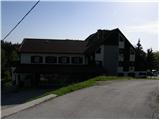 39
39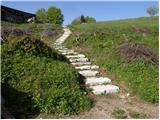 40
40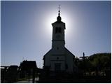 41
41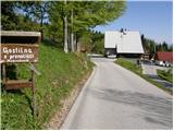 42
42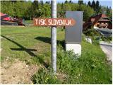 43
43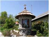 44
44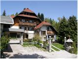 45
45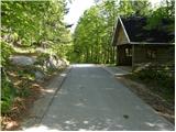 46
46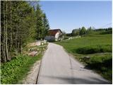 47
47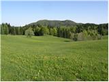 48
48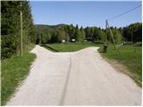 49
49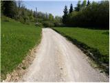 50
50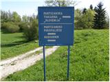 51
51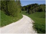 52
52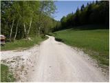 53
53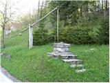 54
54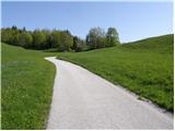 55
55 56
56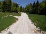 57
57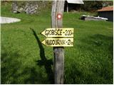 58
58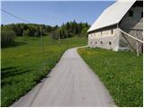 59
59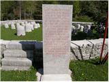 60
60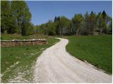 61
61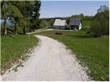 62
62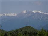 63
63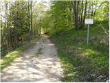 64
64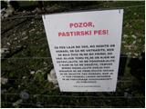 65
65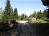 66
66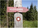 67
67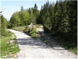 68
68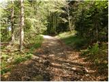 69
69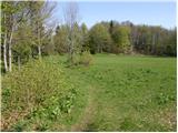 70
70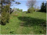 71
71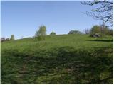 72
72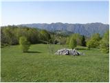 73
73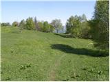 74
74 75
75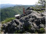 76
76 77
77
Discussion about the trip Srednja Kanomlja - Hudournik
|
| Spelcarocket5. 05. 2021 08:20:37 |
Yesterday went along the described path. Long but worthwhile path and at the end service at the top like no other in the valley  schnapps machine! Super schnapps machine! Super 
|
|
|
To post a comment you must log in:
If you do not yet have a username, you must first
register.