Starting point: Srednje (680 m)
| Latitude/Longitude: | 46,14390°N 13,66240°E |
| |
Walking time: 35 min
Difficulty: easy marked way
Elevation gain: 129 m
Elevation difference along the route: 140 m
Map:
Recommended equipment (summer):
Recommended equipment (winter):
Views: 5.058
 | 1 person like this post |
Access to starting point:
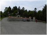
From Nova Gorica, we drive towards Tolmin or vice versa, and we follow the road to the settlement Ročinj, where signs for Kambreško point us to the left (from the direction of Tolmin to the right). After 4 km we arrive at Kambreško, and at the intersection in the middle of the village we turn right towards Srednje and Livk. Ahead we drive on a somewhat narrower but still asphalted road, on which we soon arrive at the village Srednje, which is the starting point for our tour. A suitable place for parking is a smaller parking lot next to the cemetery 300 m away.
Route description:
From the cemetery we return to the beginning of the village, and there signs for Globočak point us to a narrow ascending asphalt road. On the mentioned road, we ascend to a smaller football field, after which the asphalt road turns to the left. Right at the beginning of the turn, we leave the road and continue on a grassy cart track which continues by the edge of the forest. After some 10 m we leave the cart track as well and continue right on a marked footpath which starts gently at first, then moderately ascending through the forest. Higher, the footpath slightly descends for a short time, then starts to ascend more steeply. The steepness quickly eases and the path brings us to the main ridge of Globočak, where the path from Kambreško joins.
Here we continue left and after a minute of further walking we arrive at the forested peak.
From the top, we can descend to two nearby caverns in a few minutes.
Photos:
 1
1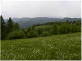 2
2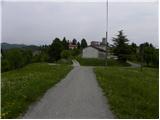 3
3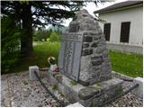 4
4 5
5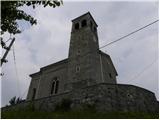 6
6 7
7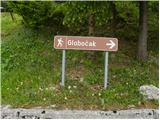 8
8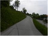 9
9 10
10 11
11 12
12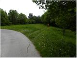 13
13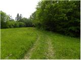 14
14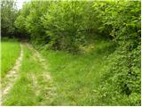 15
15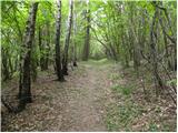 16
16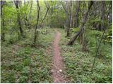 17
17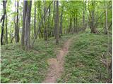 18
18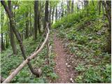 19
19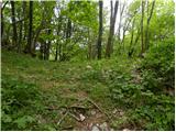 20
20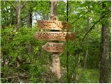 21
21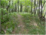 22
22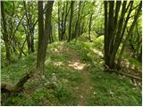 23
23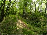 24
24 25
25
Discussion about the trip Srednje - Globočak
To post a comment you must log in:
If you do not yet have a username, you must first
register.