Srednji Lokovec - Lašček (via Novo Mesto)
Starting point: Srednji Lokovec (913 m)
| Latitude/Longitude: | 46,04680°N 13,76780°E |
| |
Route name: via Novo Mesto
Walking time: 1 h 45 min
Difficulty: easy marked way
Elevation gain: 158 m
Elevation difference along the route: 158 m
Map:
Recommended equipment (summer):
Recommended equipment (winter):
Views: 6.559
 | 4 people like this post |
Access to starting point:
Many paths lead us to the beautiful and mostly overlooked Banjška planota plateau, whose highest peak is Lašček.
At the easternmost and highest part of the Banjška planota plateau, right on the edge above Čepovanska dolina valley, Lokovec stretches in a narrow strip. One of the longest and most expansive Slovenian villages with smaller hamlets and lonely homesteads unites three Lokovci: Dolenji, Srednji and Gorenji Lokovec. Our starting point is at the church in Srednji Lokovec, to which we can drive:
- from Nova Gorica through Banjšice or Čepovan,
- from Kanal through Kanalski vrh and Banjšice or through Avče, Levpa and Kal nad Kanalom.
- from Most na Soči through Čepovan or Kal nad Kanalom.
Those of a more adventurous spirit can also drive from Dolenje Trebuše.
a) From Nova Gorica, we follow the signs for Bovec-Tolmin and continue on the Solkan bypass or drive through Nova Gorica to Solkan. At the traffic-light intersection above the cemetery in Solkan, we continue in the direction of Čepovan, Lokve and Sveta Gora on the road ascending past the quarry. Soon after the turn-off for Sveta Gora, the road branches off to the left towards Čepovan, Banjšice and Grgar, straight ahead the road continues to Trnovo and Lokve. We continue driving left to Grgar, where we have two options: we can turn left for Banjšice or right for Čepovan. The road through Čepovan is just under 2 km shorter, but the one through Banjšice is much more scenic, as with good visibility a beautiful view opens up on the Julian Alps. From Čepovan we continue in the direction of Banjšice and after 3 km we arrive at Srednji Lokovec. From Banjšice we continue in the direction of Čepovan and after just over 5 km we arrive at Srednji Lokovec.
Nova Gorica – Čepovan – Sr. Lokovec: 24 km, Nova Gorica – Banjšice - Sr. Lokovec: 26 km.
b) From Kanal (from the direction of Nova Gorica the turn-off is just before Kanal) we drive to Kanalski vrh, where we can see the huge pool (15 ha) of the pumped-storage power plant Avče, and continue through Bat and Banjšice to Srednji Lokovec (22 km).
c) From Most na Soči we continue in the direction of Cerkno, Idrija, Podbrdo to the railway station and follow the road to Čepovan and Lokve. The steep, winding road brings us to Čepovan, after another 3 km we arrive at Srednji Lokovec. Most na Soči – Čepovan: 15.5 km, Čepovan - Sr. Lokovec: 3 km.
Route description:
The path is undemanding, as it has only a few shorter ascents. It mostly runs along abandoned cart tracks, among lonely hamlets and through the forest. The most suitable time to visit is from autumn to spring; in summer it can be very hot, and the paths quickly become overgrown. The path is well marked, but due to countless junctions we must be very careful not to stray. If we do not see any markers for a long time, we are definitely not on the right path. The first visit is not recommended in snowy conditions, as the path is often not trodden, and due to ground markers under the snow and numerous junctions it would be hard to find the right direction. Orientation is quite demanding.
At the church in Srednji Lokovec we cross the road and continue along the cart track, which ascends past the sports field and the house containing the Small Blacksmith Museum and a permanent exhibition on the life and work of bishop Metod Pirih, born in Lokovec. After a shorter steeper ascent, the path continues in a gentler ascent through the forest. We carefully follow the markers. At the first junction immediately after entering the forest, we turn left; later, when the path levels out, right. After about 10-15 minutes, the cart track brings us to an asphalt road, along which we continue left with a short ascent along the road. The asphalt ends at an intersection, where there is a sign for the memorial plaque. We continue along the right gravel road. The path levels out almost completely and brings us past a group of houses to the next junction, where we continue right again and in a gentle descent along the gravel road arrive at the hamlet Novo Mesto. We continue along the gravel road through the hamlet and further along the right wider road past a larger homestead. We continue to follow the gravel road, which gently descends to the next junction, where a cart track joins from the left and the road turns right. At this junction, the marker on the telephone pole directs us onto a path that ascends transversely to the left from the road into the forest. We could also continue along the left cart track and join the path from Sr. Lokovec through Raštelo (option for shortening the circular path on the return).
The path moderately ascends through the forest to some ruined houses and continues ascending to a small clearing, which we cross, and begin descending through the forest. We carefully follow the markers and at the junction continue along the left cart track. After a short descent we arrive at a mighty lonely homestead with a beautiful stone portal. The path takes us past the house and bypasses a smaller sinkhole on the left side. In the forest the path begins to descend transversely (straight ahead or left uphill leads to a new house), until it reaches a smaller cart track, along which we begin to ascend left. After a few minutes we reach the next poorly marked junction, where we continue the ascent left. The cart track widens and after a short ascent brings us out of the forest. A marker on a tree leads us straight across the grass-covered slope; the cart track turning left leads to a smaller renovated house. After a short ascent we continue along the left edge of the overgrown meadow (on the right we will see house ruins). We continue along the grassy path, which soon begins to descend, then turns left into the forest and widens into a narrower cart track. This first descends, then turns left, and after a few steps begins to ascend right. Soon it brings us out of the forest, where at the junction we continue right and proceed on less densely vegetated terrain. After a short ascent the path begins to descend and brings us to an asphalt road. Ahead we will see a lonely homestead right below the hilltop. For a short time we continue ascending along the road toward the homestead, at the bend we turn left onto the poorer gravel path, and after a few steps arrive at a larger turning area. The gravel road turns left (if we continued in that direction, we would join the path from Sr. Lokovec through Raštelo); we continue right, and ascend along a path going through the gate of the pasture fence along the left edge of a larger sinkhole. After a short ascent we join the path coming from the house on our right. We continue left and soon arrive at the next junction. The signs direct us right into the forest; straight ahead we would reach the path from Sr. Lokovec through Raštelo. After 10 minutes of steep ascent through the forest we reach the panoramic grassy summit of Lašček.
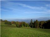
In good visibility, wide views open up. From the Gulf of Trieste to the south, Friuli and Dolomites to the west, to the north the Julian Alps dominate with Matajur, Kanin range, Krn and the ridge of Tolmin mountains and Lower Bohinj mountains, behind which Triglav reigns. Only to the east do the trees obscure the view of Škofjeloško hribovje and Porezen.
To descend to the valley we can take the path through Raštelo and thus complete a nice loop hike. From the summit we follow the signs for Lokovec – church (1:45 h) and continue along the forest-covered ridge to a junction, where we turn left and follow the signs for Lokovec - church.

Photos:
 1
1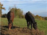 2
2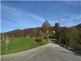 3
3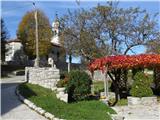 4
4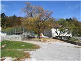 5
5 6
6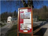 7
7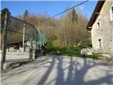 8
8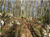 9
9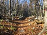 10
10 11
11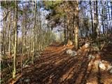 12
12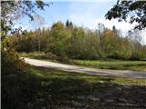 13
13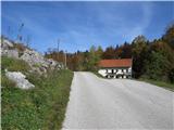 14
14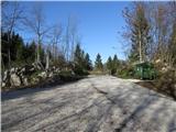 15
15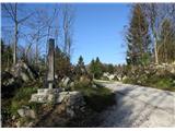 16
16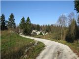 17
17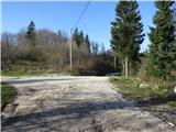 18
18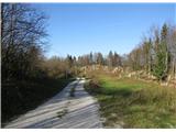 19
19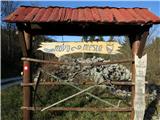 20
20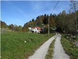 21
21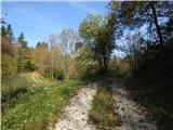 22
22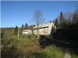 23
23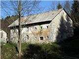 24
24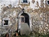 25
25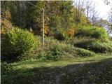 26
26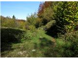 27
27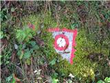 28
28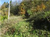 29
29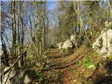 30
30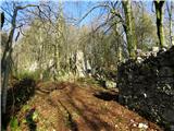 31
31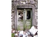 32
32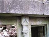 33
33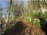 34
34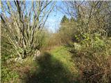 35
35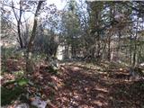 36
36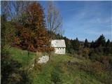 37
37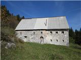 38
38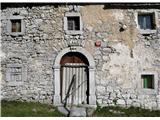 39
39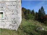 40
40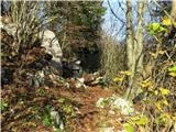 41
41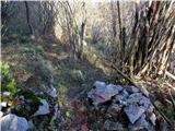 42
42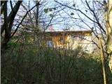 43
43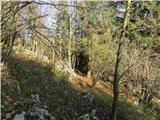 44
44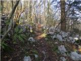 45
45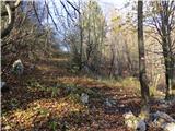 46
46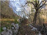 47
47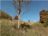 48
48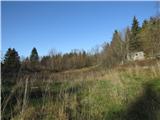 49
49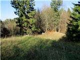 50
50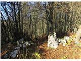 51
51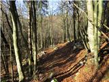 52
52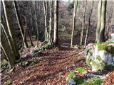 53
53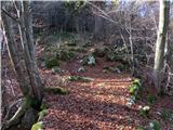 54
54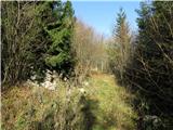 55
55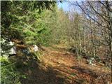 56
56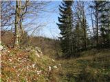 57
57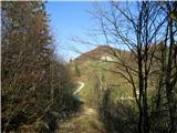 58
58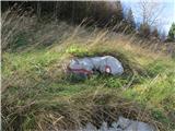 59
59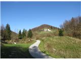 60
60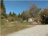 61
61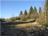 62
62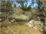 63
63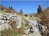 64
64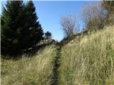 65
65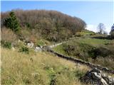 66
66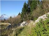 67
67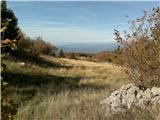 68
68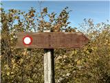 69
69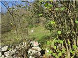 70
70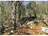 71
71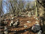 72
72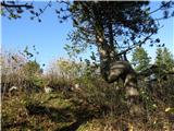 73
73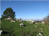 74
74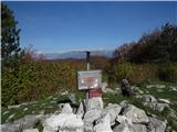 75
75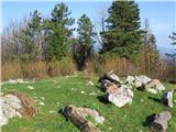 76
76 77
77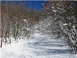 78
78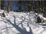 79
79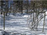 80
80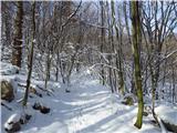 81
81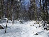 82
82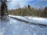 83
83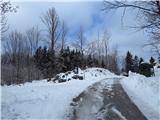 84
84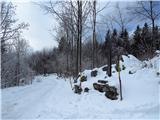 85
85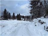 86
86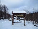 87
87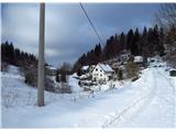 88
88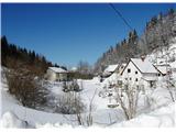 89
89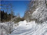 90
90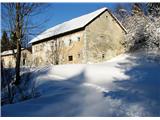 91
91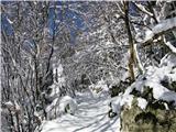 92
92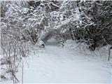 93
93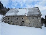 94
94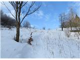 95
95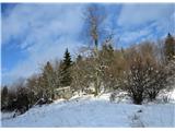 96
96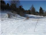 97
97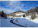 98
98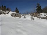 99
99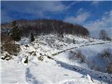 100
100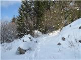 101
101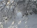 102
102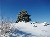 103
103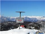 104
104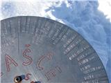 105
105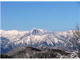 106
106
Discussion about the trip Srednji Lokovec - Lašček (via Novo Mesto)
To post a comment you must log in:
If you do not yet have a username, you must first
register.