Srednji Lokovec - Lašček (via Raštela)
Starting point: Srednji Lokovec (913 m)
| Latitude/Longitude: | 46,04680°N 13,76780°E |
| |
Route name: via Raštela
Walking time: 2 h
Difficulty: easy marked way
Elevation gain: 158 m
Elevation difference along the route: 158 m
Map:
Recommended equipment (summer):
Recommended equipment (winter):
Views: 7.386
 | 4 people like this post |
Access to starting point:
A lot of paths bring us to the nice and mostly overlooked Banjška planota plateau, whose highest peak is Lašček.
At the far eastern and highest part of the Banjška planota plateau, just by the edge above the Čepovanska dolina valley, Lokovec spreads in a narrow strip. One of the longest and most expansive Slovenian villages with smaller hamlets and lonely homesteads unites three Lokovci: Dolenji, Srednji and Gorenji Lokovec. Our starting point is at the church in Srednji Lokovec, to which we can drive:
- from Nova Gorica through Banjšice or Čepovan,
- from Kanal through Kanalski Vrh and Banjšice or through Avče, Levpa and Kal nad Kanalom.
- from Most na Soči through Čepovan or Kal nad Kanalom.
Those with a more adventurous spirit can also drive from Dolenje Trebuša.
a) From Nova Gorica, we follow the signs for Bovec-Tolmin and continue on the Solkan bypass or drive through Nova Gorica to Solkan. In the traffic light intersection above the cemetery in Solkan, we continue in the direction of Čepovan, Lokve and Sveta Gora on the road which ascends past the quarry. Soon after the turn-off for Sveta Gora, the road branches off to the left towards Čepovan, Banjšice and Grgar, and straight ahead the road continues to Trnovo and Lokve. We continue left towards Grgar, where we have two options: we can turn left towards Banjšice or right towards Čepovan. The road through Čepovan is a little less than 2 km shorter, but through Banjšice it is much more panoramic, because with good visibility a beautiful view opens up on the Julian Alps. From Čepovan we continue in the direction of Banjšice and after 3 km we reach Srednji Lokovec. From Banjšice we continue in the direction of Čepovan and after a good 5 km we arrive at Srednji Lokovec.
Nova Gorica – Čepovan – Srednji Lokovec: 24 km, Nova Gorica – Banjšice - Srednji Lokovec: 26 km.
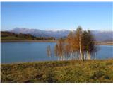
b) From Kanal (from the direction of Nova Gorica the turn-off is a little before Kanal) we drive to Kanalski vrh, where we can view the huge basin (15 ha) of the pumped-storage hydropower plant Avče, and continue through Bat and Banjšice to Srednji Lokovec (22 km).
c) From Most na Soči we continue in the direction of Cerkno, Idrija, Podbrdo to the railway station and follow the road towards Čepovan and Lokve. A steep, winding road brings us to Čepovan, and after another 3 km we get to Srednji Lokovec. Most na Soči – Čepovan: 15.5 km, Čepovan - Srednji Lokovec: 3 km.
Route description:
The path is undemanding, as there are only a few shorter ascents on it. It mostly runs along abandoned cart tracks through the forest and is especially very solitary in winter. The most suitable time to visit Lašček is from autumn to spring. In summer it can be very hot, and the paths quickly become overgrown. The path is well marked, but due to the numerous junctions we must be very careful not to stray. If we do not see any marking for a long time, we are definitely not on the right path. The first visit is not recommended in snowy conditions, as the path is often not trodden, and due to ground markings under the snow and numerous junctions it would be difficult to find the right direction. Orientation is quite demanding.
From the church we continue left along the asphalt road, and after a few minutes we reach a junction where we continue right. After a shorter but steep ascent we reach the smaller hamlet Raštela. We continue walking along the road, which soon begins to descend to the next junction, where the asphalt road turns sharply left. We continue straight along the macadam road and after a few steps turn right. After a few meters we turn onto the cart track that branches off to our left from the macadam road. The path gently ascends along the edge of the forest and continues with a shorter ascent through the clearing among raspberry bushes to the macadam road. Along the road we continue left. At first we gently descend, then continue with a gentle ascent along the poorer macadam road (at the time of preparing this contribution still under construction). At the end of the road we continue right along the cart track that gently ascends. After a few minutes of further walking we reach a junction where an unmarked path (cart track) from Novo Mesto joins from the right. We follow the markings for Lašček (45 min) and continue left along the cart track that moderately ascends through sparse forest, crosses a small clearing and turns into the forest again. After about 10 minutes of walking we emerge from the forest onto a meadow covered with bushes, which we cross in a few steps and continue through the forest again. Soon we reach a junction where we continue right. The cart track continues gently ascending through the forest. Before a deeper sinkhole it narrows into a trail and bypasses it along the left edge, then the trail steeply ascends along the edge of an overgrown pasture. In a few steps we reach the cart track and continue left, soon beginning to descend to the next junction. We continue straight (on the wider road to the right we would join the path from Lokovec through Novo Mesto). Ahead of us we see the summit of Lašček. We bypass a larger sinkhole and ascend along the cart track to the gate of the fence. We continue left (right we reach the path from Lokovec through Novo Mesto). The cart track through another fence brings us into the forest. We continue along the cart track which gently ascends for a few more minutes, then the path turns right. Be careful with the markings on the trees, as the better visible cart track continues straight and we can easily miss them. The path ascends through yet another gate in the fence along the edge of an overgrown pasture and brings us to a larger clearing, which we cross along the left edge and turn into the forest again. The trail ascends somewhat more steeply through the forest to the next junction, where paths from Cvetrež (Kal) and from Gor. Lokovec or Vrh Ječmenc join. We continue the ascent towards the summit, which is less than 10 minutes of walking away along the forested ridge.
In good visibility wide views open up from the grassy summit. From the Tržaški zaliv bay in the south, Friuli and Dolomites in the west, while in the north the Julian Alps reign with Matajur, Kanin mountain range, Krn and the ridge of Tolmin and Lower Bohinj mountains, behind which Triglav reigns. Only towards the east do the trees obscure the view of Škofjeloško hribovje and Porezen.
We can descend to the valley along the path through Novo Mesto and thus make a nice circular hike. From the summit of Lašček we follow the markings for Lokovec – church (1.5 h) and descend along the southern side into the forest.

Photos:
 1
1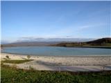 2
2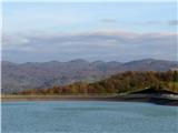 3
3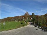 4
4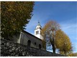 5
5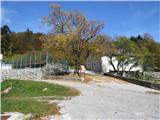 6
6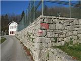 7
7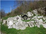 8
8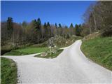 9
9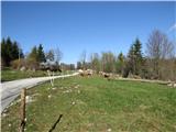 10
10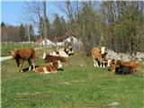 11
11 12
12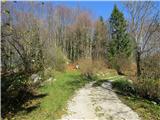 13
13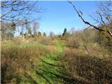 14
14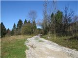 15
15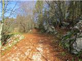 16
16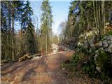 17
17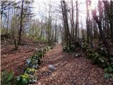 18
18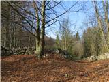 19
19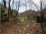 20
20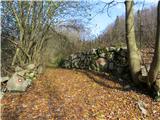 21
21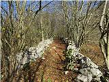 22
22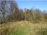 23
23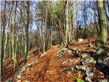 24
24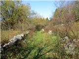 25
25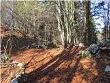 26
26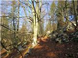 27
27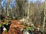 28
28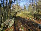 29
29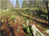 30
30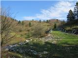 31
31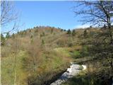 32
32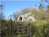 33
33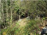 34
34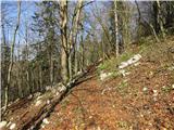 35
35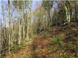 36
36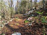 37
37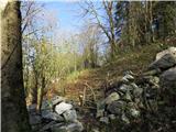 38
38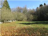 39
39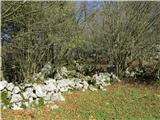 40
40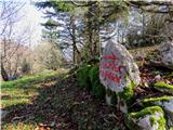 41
41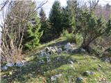 42
42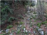 43
43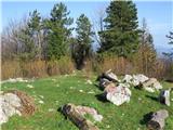 44
44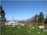 45
45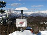 46
46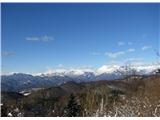 47
47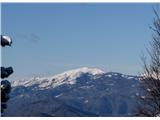 48
48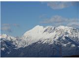 49
49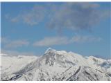 50
50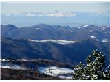 51
51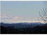 52
52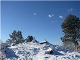 53
53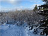 54
54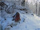 55
55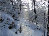 56
56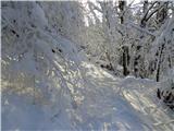 57
57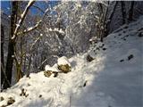 58
58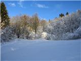 59
59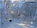 60
60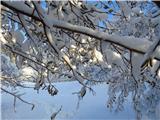 61
61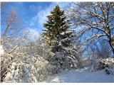 62
62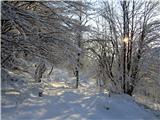 63
63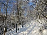 64
64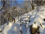 65
65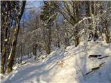 66
66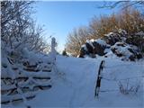 67
67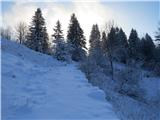 68
68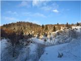 69
69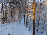 70
70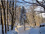 71
71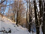 72
72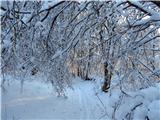 73
73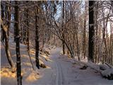 74
74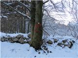 75
75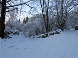 76
76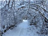 77
77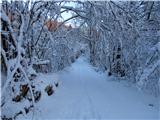 78
78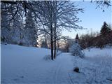 79
79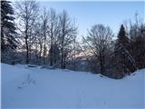 80
80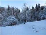 81
81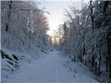 82
82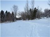 83
83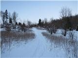 84
84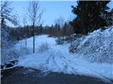 85
85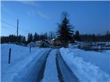 86
86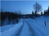 87
87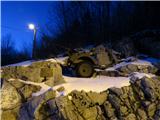 88
88
Discussion about the trip Srednji Lokovec - Lašček (via Raštela)
To post a comment you must log in:
If you do not yet have a username, you must first
register.