Srednji Vrh - Maloško poldne / Mallestiger Mittagskogel
Starting point: Srednji Vrh (960 m)
| Latitude/Longitude: | 46,48940°N 13,83710°E |
| |
Walking time: 2 h 55 min
Difficulty: easy unmarked way
Elevation gain: 863 m
Elevation difference along the route: 900 m
Map: Kranjska Gora 1:30.000
Recommended equipment (summer):
Recommended equipment (winter): ice axe, crampons
Views: 10.679
 | 1 person like this post |
Access to starting point:
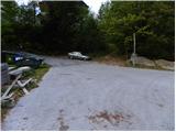
From the Ljubljana - Jesenice highway, we head to the Jesenice - west (Hrušica) exit and continue driving towards Kranjska Gora. When we arrive in Gozd-Martuljek, we turn right towards Srednji Vrh and drive up the narrow and steep road to the mentioned settlement. When the road flattens a little, we will come to an intersection of several roads and a turning area. Here we park in a suitable place beside the intersection.
Route description:
From the turning point on Srednji Vrh, we continue towards the north, where we immediately arrive at a smaller intersection. From the intersection, we continue on the lower right road, which is closed to public traffic by a traffic sign. The road first descends slightly, then starts to ascend gently past a few houses, after which the asphalt ends. At two successive smaller intersections, which are located just a little above the village, we continue left, then for quite some time we continue along the slightly ascending road, which crosses a larger number of torrents, gullies and streams. In the lower part of the path, we also get some views of the Martuljek mountain group, then the road enters the forest. During the first hour of walking, the road ascends gently to moderately, then it flattens and even descends slightly a few times. In the last part of the ascent along the road, the forest thins out and the path brings us to the hunting cottage Hladnik, which is located in the middle of a larger meadow.
Behind the hunting cottage we continue left, and the path immediately brings us to an unmarked junction. Here we continue right into the forest and ascend further on a relatively steep cart track. A little higher we arrive at the next junction of cart tracks, where we continue on the right one, which ascends transversely towards the right. The mentioned cart track soon flattens completely and brings us to a small valley, where we cross the Hladnik stream. Immediately after the stream we turn left and ascend moderately beside it for some time, then the path enters dense forest, where it starts to ascend steeply. When, after a good 15 minutes of steep ascent, the trail brings us out of the forest, it flattens and slowly starts to disappear on the grassy slopes of Grajšce. On some places a less visible path, which runs through or beside the valley, leads us higher past a watering place for animals, and the valley splits into two parts just a little above the mentioned watering place.
We continue along the left considerably longer and gentler valley, which slowly turns increasingly to the left. Here we may, if we are quiet enough and have a little luck, spot a marmot. In the middle of the upper part of Grajšce a passage towards the border ridge branches off to the right, but we continue straight ahead and start ascending through the increasingly narrow valley through sparse larch forest. Higher up the valley narrows into a torrent gully, up which we ascend to a small saddle northwest of Murnovc.
Here we leave the path leading towards Trupejevo poldne and continue sharply right onto the panoramic ridge covered with dwarf pines. The path along the ridge first descends a little, then starts to ascend steeply along initially quite crumbly slopes. Already after some 10 m the path returns to the ridge, where it gradually flattens and brings us to the forepeak of Maloško poldne. A very short descent follows, then the path gently ascends to Maloško poldne, the summit from which we get a nice view towards Lake Baško jezero.

Along the route: Lovska koča (1280m), Grajšca (1760m)
Photos:
 1
1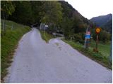 2
2 3
3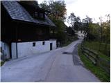 4
4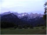 5
5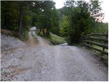 6
6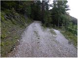 7
7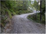 8
8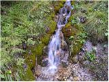 9
9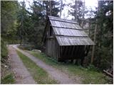 10
10 11
11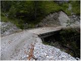 12
12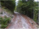 13
13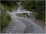 14
14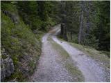 15
15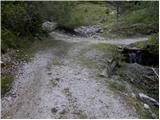 16
16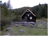 17
17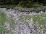 18
18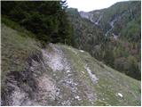 19
19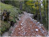 20
20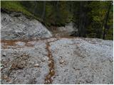 21
21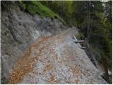 22
22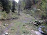 23
23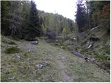 24
24 25
25 26
26 27
27 28
28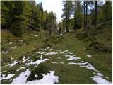 29
29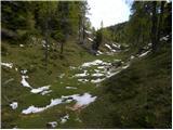 30
30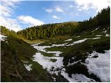 31
31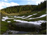 32
32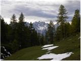 33
33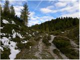 34
34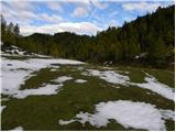 35
35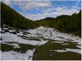 36
36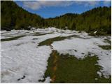 37
37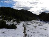 38
38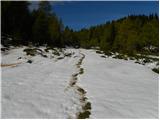 39
39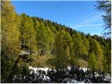 40
40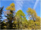 41
41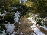 42
42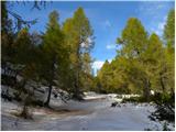 43
43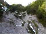 44
44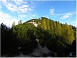 45
45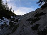 46
46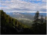 47
47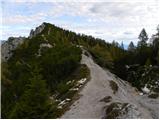 48
48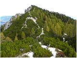 49
49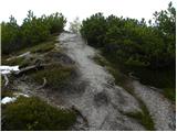 50
50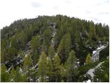 51
51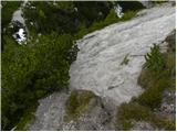 52
52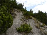 53
53 54
54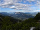 55
55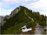 56
56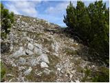 57
57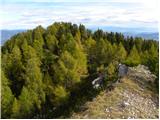 58
58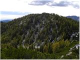 59
59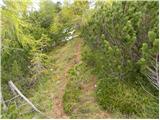 60
60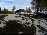 61
61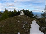 62
62 63
63
Discussion about the trip Srednji Vrh - Maloško poldne / Mallestiger Mittagskogel
|
| Flora124. 10. 2010 |
Yesterday we did the route from the village Srednji vrh, hunting hut, Kresišče, along the ridge to Maloško poldne, to Trupejevo poldne and down along the stream to the hunting hut and to the village Srednji vrh. Cold, but not as much as last week, windy. The path on the ridge is snowy in places, caution needed, otherwise beautiful ambiance with yellow larches and snow. Hunters were shooting again. At Kresišče we still met people, further along the ridge and to the hunting hut no one.
|
|
|
|
| Flora124. 10. 2010 |
village Srednji Vrh 
|
|
|
|
| tango24. 02. 2021 |
Today my wife and I took advantage of the beautiful day and went to Maloško poldne. Not exactly as in the description above, as we went along Grajščica right to the saddle, then left along the ridge to the goal. Conditions solid, snowshoes might have been useful for the return, which we left in the car. But visibility due to abundant Saharan dust was like looking through an orange foggy filter, especially noticeable looking towards Špikova grupa, Jalovec, less to the north towards Dobrač. Kresišče melted down to zero!
|
|
|
|
| Fulcrum10. 10. 2021 19:04:38 |
From the place where we cross the stream (picture 25) to the arrival at Grajšca (picture 29), the path is now routed along the cart track. The path through the forest described above is impassable, as there is a lot of fallen trees on it.
|
|
|
To post a comment you must log in:
If you do not yet have a username, you must first
register.