Srgaši (Križišče) - Strunjanski križ
Starting point: Srgaši (Križišče) (213 m)
| Latitude/Longitude: | 45,50890°N 13,70500°E |
| |
Walking time: 3 h 30 min
Difficulty: easy marked way
Elevation gain: -160 m
Elevation difference along the route: 100 m
Map: Primorje in Kras 1:50.000
Recommended equipment (summer):
Recommended equipment (winter):
Views: 1.880
 | 1 person like this post |
Access to starting point:
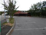
We leave the coastal highway at the exit for Pulj, Poreč and Šmarje. We continue driving on the main road towards Šmarje, and when we arrive at Srgaši, we take the exit from the roundabout in the direction of the settlement Šmarje. Immediately after the roundabout we turn right again and park near the inn Gostilna Trije lovci.
Route description:
From the starting point at the pedestrian crossing we cross the main road, and then we head onto a side road in the direction towards Srgaši and Gažon. After the roundabout the road splits, and we choose the slightly right road which continues towards Gažon. We quickly arrive in Gažon, and on the asphalt road we mainly ascend moderately. While walking through the settlement the path leads us past the chapel, cemetery, NOB monument, church of St. Peter and Paul, retirement home Danica and football field of Silvij Debernardi. Behind the football field the path gradually starts to descend, and after a short descent a nice view opens up towards Izola. A little further ahead, at the stop sign we continue right in the direction of Izola, and at the end of the settlement Baredi we leave the road towards Izola and continue slightly left onto a side road, to which the markings also direct us. When the asphalt road turns left towards Ronkaldo (Ronkaldo - production and sale of extra virgin olive oil), we continue straight on the macadam road, which then leads us with nice views along the "ridge" of the Šavrinsko gričevje. Further we walk along vineyards, and then along the edge of a smaller hamlet we continue right onto a side road which leads us past a few houses. Behind the houses the road changes into a cart track, on which we descend more steeply. After a short descent we reach the road Izola - Šared, which we follow to the left, and when after some tens of steps we reach the settlement Šared, we continue right onto the road, on which we continue the descent. There follow a few smaller intersections, where we follow the quite well-marked path; lower down we reach the cycling path D8, on which we continue for a few minutes. From the cycling path the markings direct us right onto a cart track, on which we ascend to the nearby hamlet, where we again reach an asphalt road. We continue past a few houses, following the markings, and soon reach the church of Our Lady of Loretto, behind which we reach the main road Izola - Portorož.
At the pedestrian crossing we carefully cross the very busy main road, and on the other side of the road we arrive at a red hiking signpost with the inscription Strunjan, which directs us also across the side road. We carefully cross the side road as well, and then for a short time continue along the edge of the main road towards Portorož. Before the Hotel Belvedere we leave the main road and continue along the side road to the hotel, from there we follow the markings which lead us also past the Kamp Belvedere Izola. Behind the camp we go from the asphalt road slightly right onto a parallel path, on which we continue with nice views of the sea and coastal settlements. A little further we reach an educational trail, and the path descends slightly through a strip of forest. At the junctions we continue to follow the markings, then we reach the edge of the cliff above Mesečev zaliv. There follows a scenic walk along the edge of the precipice, where wooden fences have been installed at several places for safety, and we follow the fairly level and occasionally quite scenic path all the way to the Strunjanski križ.
Starting point - Gažon 0:20, Gažon - Baredi 0:50, Baredi - Šared 0:45, Šared - Jagodje 0:50, Jagodje - Strunjanski križ 0:45.
Description and pictures refer to the condition in 2018 (June).

Along the route: Gažon (244m), Baredi (189m), Šared (210m), Izola (Jagodje) (90m)
Photos:
 1
1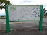 2
2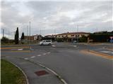 3
3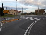 4
4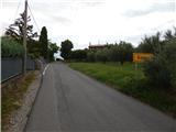 5
5 6
6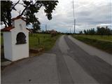 7
7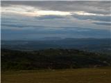 8
8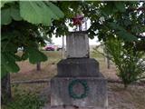 9
9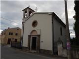 10
10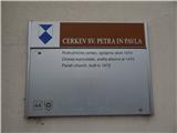 11
11 12
12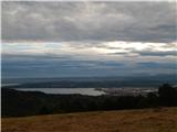 13
13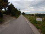 14
14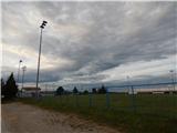 15
15 16
16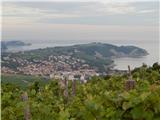 17
17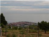 18
18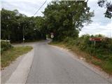 19
19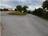 20
20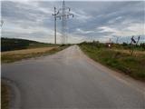 21
21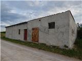 22
22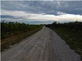 23
23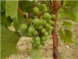 24
24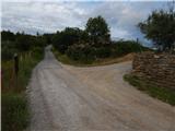 25
25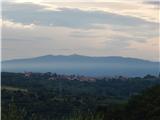 26
26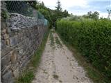 27
27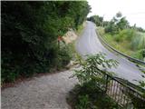 28
28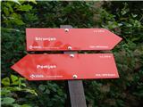 29
29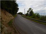 30
30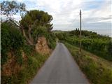 31
31 32
32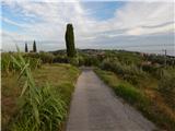 33
33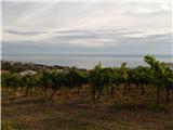 34
34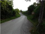 35
35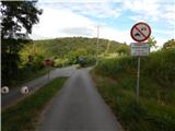 36
36 37
37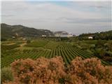 38
38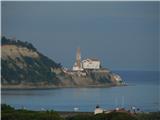 39
39 40
40 41
41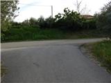 42
42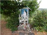 43
43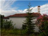 44
44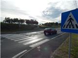 45
45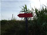 46
46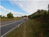 47
47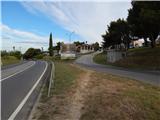 48
48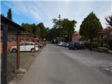 49
49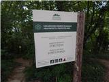 50
50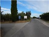 51
51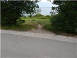 52
52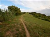 53
53 54
54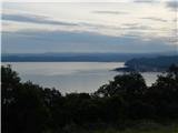 55
55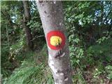 56
56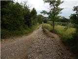 57
57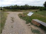 58
58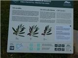 59
59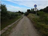 60
60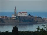 61
61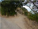 62
62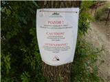 63
63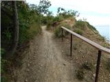 64
64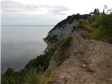 65
65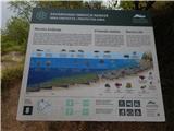 66
66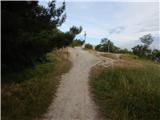 67
67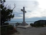 68
68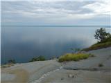 69
69
Discussion about the trip Srgaši (Križišče) - Strunjanski križ
To post a comment you must log in:
If you do not yet have a username, you must first
register.