Starting point: Srnjak (955 m)
| Latitude/Longitude: | 46,49420°N 13,78470°E |
| |
Walking time: 2 h 30 min
Difficulty: easy unmarked way
Elevation gain: 773 m
Elevation difference along the route: 840 m
Map: Kranjska Gora 1:30.000
Recommended equipment (summer):
Recommended equipment (winter): ice axe, crampons
Views: 6.251
 | 1 person like this post |
Access to starting point:
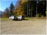
From the highway Ljubljana - Jesenice, we take the exit Jesenice - west (Hrušica), and then continue driving in the direction of Kranjska Gora. In Kranjska Gora, at the intersection where the road branches off to the left towards the Vršič pass, we continue straight ahead, but after the end of the settlement we pay attention, as we will notice signs for the inn Srnjak on the right side of the road, which direct us to the right across the bridge over the Sava Dolinka river. On the other side of the river, we follow the signs for the inn Srnjak, to which we arrive after approximately 2 km of driving on a steep, mostly macadam road. We park on a larger macadam parking lot near the inn Srnjak.
Route description:
From the parking lot at the inn Srnjak, we head onto a wide cart track that goes into the forest and starts to ascend more steeply. The cart track soon turns left and then ascends diagonally across occasionally steeper slopes. Higher up, the cart track turns right and splits into two parts. We continue sharply left (the right cart track leads to the nearby feeding trough for animals) on a partly muddy cart track that leads us through a dense belt of spruce forest. When the mentioned forest thins out a little, a hunting path branches off to the right, along which we can ascend through dense forest and considerable steepness to the hunting hut Brvog, or we can continue further on the cart track that ascends diagonally through the forest. The latter soon approaches the bed of the Sravnica stream, where it then turns sharply right and flattens out completely. A few minutes of easy walking follow, and the path brings us slightly above the aforementioned hunting hut Brvog.
At the hunting hut, both paths join and lead us to a poor forest road, along which we walk in a few minutes to the junction with the transverse road Korensko sedlo - Železnica.
We follow the mentioned road to the right, but walk only a few steps along it, then on the left we spot a wide and usually quite muddy cart track that starts ascending along and on the northwestern ridge of Nizka Bavha. Higher up, the cart track turns right, and we look for an old hunting path that continues along the aforementioned ridge. We follow the mentioned path, which is harder to follow in some places (especially where there is a lot of fallen timber and some cart track), all the time in approximately the same direction. Higher, i.e., at an altitude of approximately 1500 m, we cross the forest road again. We continue the ascent on a poorer cart track that turns right and brings us out of the forest onto a larger and very panoramic clearing. Here the cart track gradually ends, and we continue the ascent on easier pathless terrain, along which we ascend to the main ridge, where we again reach a nicely traceable path.
We will most likely reach the main ridge of the Karavanks on Nizka Bavha, or slightly further east, on a smaller saddle. Along the gentle and nicely traceable old border path, we then walk in a few minutes to the expansive and grassy summit of Grpišce.
From the summit of Grpišce, we begin descending towards the east, and the path from the meadow quickly brings us into the forest. We continue along the border ridge, from which we occasionally get some views. Slightly above the Dolič pass (the lowest point between Grpišce and Tamarča), the path splits into two parts. The left steeper path leads directly along the border line, the right gentler one temporarily withdraws from the border ridge somewhat further to the right. Higher up, both paths join and lead us to the indistinct summit of Tamarča.

Along the route: Lovska koča Brvog (1272m), Nizka Bavha (1642m),
Grpišca (1676m), Dolič (1624m)
Photos:
 1
1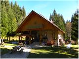 2
2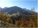 3
3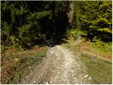 4
4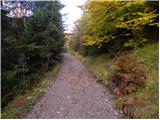 5
5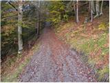 6
6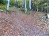 7
7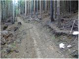 8
8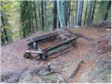 9
9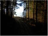 10
10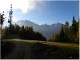 11
11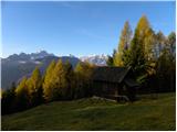 12
12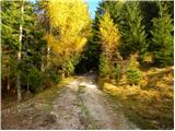 13
13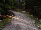 14
14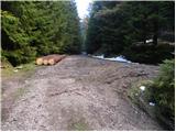 15
15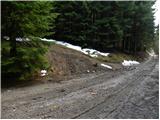 16
16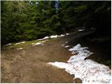 17
17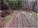 18
18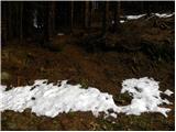 19
19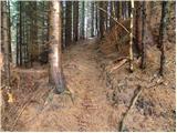 20
20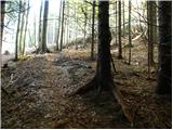 21
21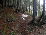 22
22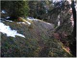 23
23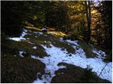 24
24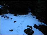 25
25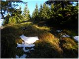 26
26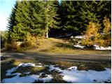 27
27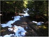 28
28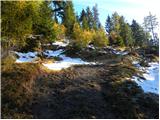 29
29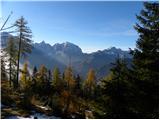 30
30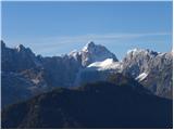 31
31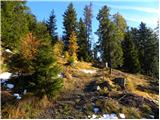 32
32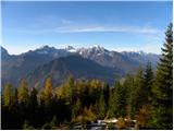 33
33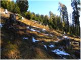 34
34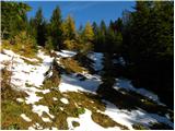 35
35 36
36 37
37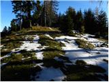 38
38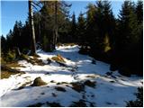 39
39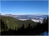 40
40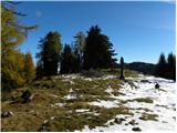 41
41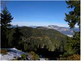 42
42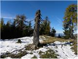 43
43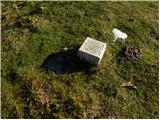 44
44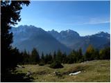 45
45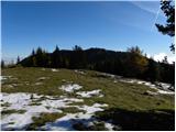 46
46 47
47 48
48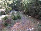 49
49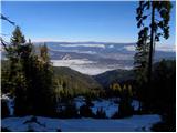 50
50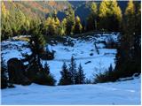 51
51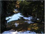 52
52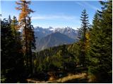 53
53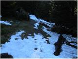 54
54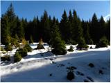 55
55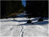 56
56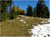 57
57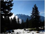 58
58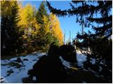 59
59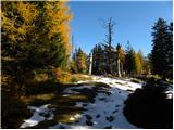 60
60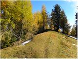 61
61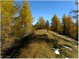 62
62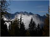 63
63 64
64
Discussion about the trip Srnjak - Tamarča
|
| Acibujl7. 04. 2026 09:46:25 |
From the former? guesthouse Srnjak (Galerše above Kranjska Gora) we headed up towards the ridge, past Brlog first to Nizka Bavha. Below the summit a bit on our own, wild😜Up there on a tree is an attached plaque with the summit name. Then onwards along the border trail, along the border line. Only some footprints twisted before us, the ridge is still quite snowy. We went over Grpišca to Tamarča and on to Vošca. From there to Jureževa planina and along the gravel road that actually leads towards Železnica, down to the turnoff for the starting point Srnjak. Even the road was covered in snow for quite a while... pleasant wandering on the sunny side of Karavanke! Orientation is easy once on the ridge, just continue as long as you like😉then descend to the gravel road and towards the valley. A map & app always come in handy on unmarked trails! In our hours of wandering we met only one foreigner below Vošca. And such a beautiful day it was!
|
|
|
To post a comment you must log in:
If you do not yet have a username, you must first
register.