SSK Sam Ihan - Oklo nad Ihanom (via Dobovlje)
Starting point: SSK Sam Ihan (294 m)
| Latitude/Longitude: | 46,13300°N 14,61780°E |
| |
Route name: via Dobovlje
Walking time: 1 h 30 min
Difficulty: easy unmarked way
Elevation gain: 171 m
Elevation difference along the route: 250 m
Map: Ljubljana - okolica 1:50.000
Recommended equipment (summer):
Recommended equipment (winter):
Views: 741
 | 1 person like this post |
Access to starting point:
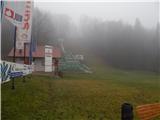
We leave the Štajerska motorway at the Domžale exit, then follow the signs for Krumperk Castle. We park just a little further ahead from the motorway, in the parking lot by the SSK Sam Ihan ski jumps.
Route description:
At the end of the ski jumping center, by the spot where there is a no-parking sign by the macadam road, we head onto a footpath that passes into the forest and begins a moderate ascent. Higher up, the path splits several times, then rejoins higher on, and it doesn't matter which directions we choose; the important thing is only that we ascend. After approximately 15 minutes of ascent, a marked path from Domžale also joins us, and we continue a gentle to moderate ascent that ends on Veliki vrh.
From Veliki vrh we continue straight ahead on the path that begins to descend moderately; at junctions we follow the otherwise rare blazes. Somewhat lower we arrive out of the forest and easily ascend across a meadow to the macadam road, where there is a marked junction.
The path towards Sveta Trojica continues on the marked path, but we ascend along the macadam road in one or two minutes of further walking to the church of St. Kunigunda.
From the church we return to the last junction, then continue in the direction of Oklo and Sveta Trojica. When a few minutes further we leave the forest, we cross the route of high-voltage power lines, after which we arrive at the Equestrian Center Brdo pri Ihanu, where we step onto an asphalt road. Along the asphalt road we first descend slightly to a crossroads by which there is a chapel, then ascend along the road that continues to the left of the chapel.
The path ahead leads us along the asphalt road towards the settlement Dobovlje. When we arrive in Dobovlje an unmarked path branches off to the right towards the church of St. Miklavž and towards Oklo, and we continue straight, first somewhat downhill, then along a gentle road that passes some houses and across a meadow into the forest. In the forest, at the junction we continue along the upper right road (straight Sveta Trojica), along which we then continue all the way to the NOB monument on Oklo.
Description and pictures refer to the condition in 2018 (January).

Photos:
 1
1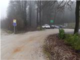 2
2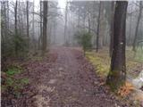 3
3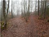 4
4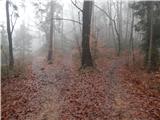 5
5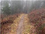 6
6 7
7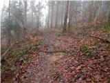 8
8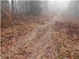 9
9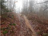 10
10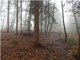 11
11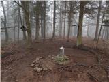 12
12 13
13 14
14 15
15 16
16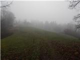 17
17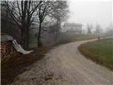 18
18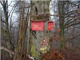 19
19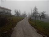 20
20 21
21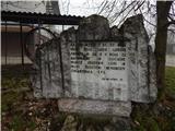 22
22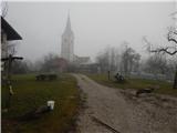 23
23 24
24 25
25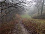 26
26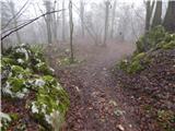 27
27 28
28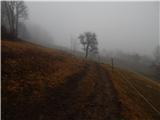 29
29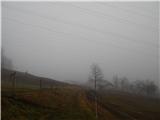 30
30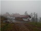 31
31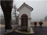 32
32 33
33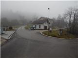 34
34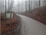 35
35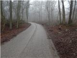 36
36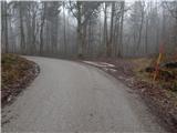 37
37 38
38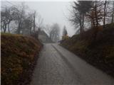 39
39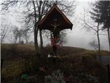 40
40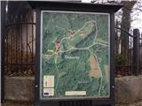 41
41 42
42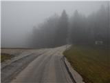 43
43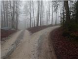 44
44 45
45 46
46 47
47 48
48 49
49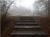 50
50
Discussion about the trip SSK Sam Ihan - Oklo nad Ihanom (via Dobovlje)
To post a comment you must log in:
If you do not yet have a username, you must first
register.