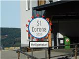
St. Corona am Wechsel - Kampsteiner Schwaig
Starting point: St. Corona am Wechsel (844 m)
| Latitude/Longitude: | 47,58657°N 16,00879°E |
| |
Walking time: 1 h 45 min
Difficulty: easy marked way
Elevation gain: 556 m
Elevation difference along the route: 556 m
Map:
Recommended equipment (summer):
Recommended equipment (winter): ice axe, crampons
Views: 119
 | 1 person like this post |
Access to starting point:
Exit the A2 Graz / Vienna motorway at the Aspang Markt exit and follow the road to the aforementioned place. When arriving in the town, follow the signs for the Mariensee settlement, at the end of the town go straight towards St. Corona am Wechsel. The road then begins to climb more steeply, we follow it to the center of the St. Corona am Wechsel settlement, where we park in one of the parking lots.
Route description:
From the parking lot, walk to the Church of St. Corona, then go left onto the side road, along which there are signs for Hochwechsel, Kampsteiner Schwaig, Herrgottschnitzerhütte and numerous other signs. Initially ascend past a few houses, at the small cross go right and continue following the signs for Hochwechsel. The path then crosses the ski slope track and summer toboggan run, then forks.
From the road, a path forks slightly left leading past the Orthof inn, we follow the path signs along the forest road and continue walking along the road, from which soon another path forks right towards the Odenhof pension.
Continue along the forest road which ascends moderately, higher up at several junctions follow the signs for Kampsteiner Schwaig.
Higher up from the road switch to the cart track, where the path leads past the "starting stone" Antrittsstein (St. Wolfgangs Fußabdruck), after which we soon leave the forest. From here follows some more ascent through the forest, then the forest ends and across the meadow section we quickly reach the Kampsteiner Schwaig hut.
Description and photos refer to the condition in November 2025.

Photos:
 1
1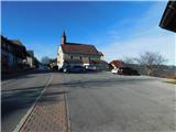 2
2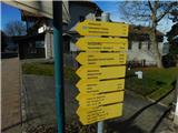 3
3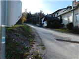 4
4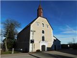 5
5 6
6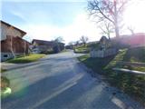 7
7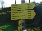 8
8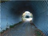 9
9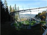 10
10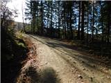 11
11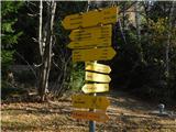 12
12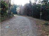 13
13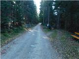 14
14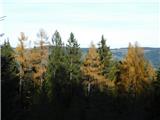 15
15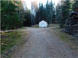 16
16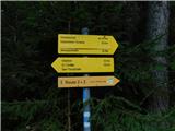 17
17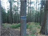 18
18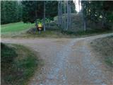 19
19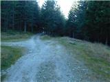 20
20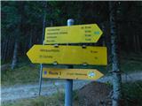 21
21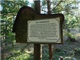 22
22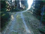 23
23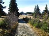 24
24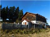 25
25
Discussion about the trip St. Corona am Wechsel - Kampsteiner Schwaig
To post a comment you must log in:
If you do not yet have a username, you must first
register.