Stahovica - Poljanski rob
Starting point: Stahovica (430 m)
| Latitude/Longitude: | 46,26680°N 14,60360°E |
| |
Walking time: 3 h 10 min
Difficulty: easy marked way, easy pathless terrain
Elevation gain: 1139 m
Elevation difference along the route: 1160 m
Map: Kamniške in Savinjske Alpe 1:50.000
Recommended equipment (summer):
Recommended equipment (winter): ice axe, crampons
Views: 4.668
 | 1 person like this post |
Access to starting point:
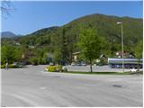
First, we drive to Kamnik, then we continue driving in the direction of Kamniška Bistrica and the mountain pass Črnivec. When we come to Stahovica we continue left (if we come from Gornji Grad or Luč then right) in the direction of Kamniška Bistrica and the cableway to Velika planina. After approximately 50 m of additional driving, we will notice on the left side the factory Calcit and next to it a marked parking lot. We can also park on the right side of the road on an appropriate place by the road which leads to the village Prapretno.
Route description:
The footpath otherwise starts by the road Stahovica - Črnivec, but because the parking lot is by the beginning of the road which leads to Prapretno, we just go on the mentioned road upwards. We soon come to Dom LD Stahovica, after which the road for some time flattens. Only a little further a marked path joins from the right, and we have two options to continue. We can still continue on the road, or continue on the marked footpath, which higher also a few more times crosses the mentioned road. Higher both paths join and through the upper part of the village Prapretno bring us to a sharp left turn, where we leave the road.
We continue on a wide and well-beaten path (direction sv. Primož above Kamnik), which further moderately ascends through the forest. The path then past two chapels and a trough with water brings us to a marked junction, where we continue left in the direction of Velika planina and Kisovec (straight sv. Primož and sv. Peter 5 minutes; continuation to Velika planina is also possible past the mentioned churches; the latter path is approximately 15 minutes longer). The path ahead steeply ascends and after a shorter ascent brings us to the edge of an indistinct ridge, where it turns left (here straight the path to Kisovec branches off, from the right the path past sv. Primož joins us). We continue on a pleasant forest path, which for a short time steeply ascends and brings us to the edge of a vantage point (view on Kamnik and surroundings). We continue the ascent on a moderately steep path, which ascends through the forest on the slopes of the less known Ravni hrib (1204 m) and higher also Pirčev vrh (1373 m).
Higher we reach the ridge right somewhere halfway between both peaks, and the path continues to the right, where after a few minutes of further walking we come to a marked junction, where we have two options to continue.
In firm and dry weather it is preferable to continue on the left lower path, which leads us across panoramic and relatively steep slopes of Pasje peči, otherwise we continue slightly right and continue on the path which ascends to Pirčev vrh. The latter path is somewhat longer and more suitable for winter days and for people who fear traversing steep slopes.
Both paths join on the saddle northeast of Pirčev vrh, where we also step on the next junction. We continue straight (right planina Kisovec) on the path which gradually begins to ascend ever steeper. Higher the path flattens and across a pasture fence brings us to the south edge of the plateau Velika planina. Just a few meters above the pasture fence, we step on a wider track, which we follow left (straight Črnuški dom). The wide track quickly brings us to the edge of the plateau, it then turns somewhat right and slowly disappears in the grassy slopes. Higher, when the track becomes visible again, we leave it and continue the ascent slightly left towards the wire fence. When we arrive at the mentioned fence, which protects the livestock so that it does not go onto the steep slopes, we ascend along it. Ascent along the wire fence, then we continue all the way to the top of Poljanski rob (to Poljanski rob, we can also ascend on any other less visible track).

Photos:
 1
1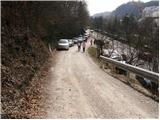 2
2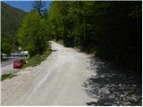 3
3 4
4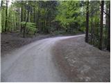 5
5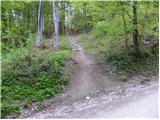 6
6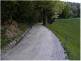 7
7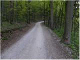 8
8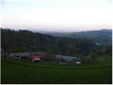 9
9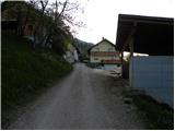 10
10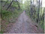 11
11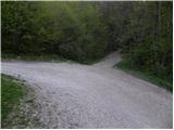 12
12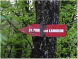 13
13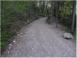 14
14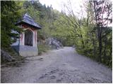 15
15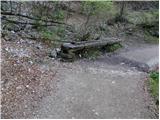 16
16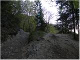 17
17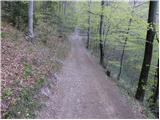 18
18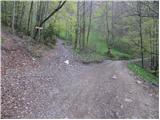 19
19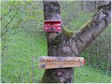 20
20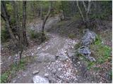 21
21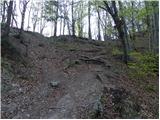 22
22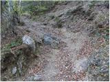 23
23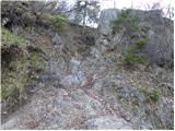 24
24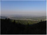 25
25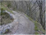 26
26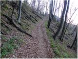 27
27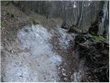 28
28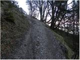 29
29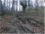 30
30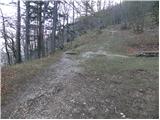 31
31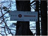 32
32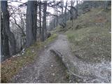 33
33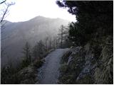 34
34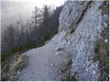 35
35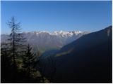 36
36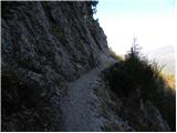 37
37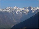 38
38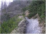 39
39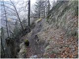 40
40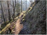 41
41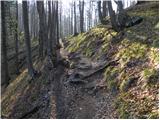 42
42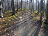 43
43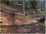 44
44 45
45 46
46 47
47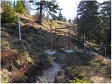 48
48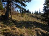 49
49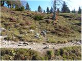 50
50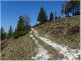 51
51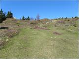 52
52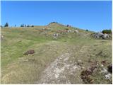 53
53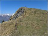 54
54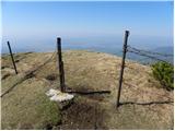 55
55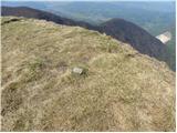 56
56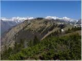 57
57
Discussion about the trip Stahovica - Poljanski rob
To post a comment you must log in:
If you do not yet have a username, you must first
register.